Old Maps of Lobo, Texas for Academic Research
Study the evolution of Lobo with 12 high-resolution historic maps. Whether you're teaching, researching, or modeling changes in land use, these maps provide essential visual documentation of urban, environmental, and geographic change.
- Analyze long-term change: Track patterns in development, transportation, and natural features.
- Ideal for environmental or urban studies: Support academic projects with primary historical map data.
- Use in the classroom or lab: Educators and researchers rely on these maps to bring historical context to life.
These maps are a powerful tool for teaching, research, and visualizing how Lobo has changed over the decades.
Lobo, TX maps
(12)- 1892 Map of Chispa, 1957 Print
 1892 Chispa1957 Print · USGSWest Texas railroad outposts and mountain passes are documented here in the final decade of the nineteenth century. Genealogists and historians can trace the early rail stops at Arno, Chispa, and Van Horn Wells along the original Southern Pacific line.
 - 1895 Map of Chispa
 1895 Chispa1895 Print · USGSWest Texas rail travel was in its prime during the late nineteenth century as steam engines traversed the mountain passes. Genealogists and rail historians can trace early sidings and stops like Van Horns Wells, Chispa, and the natural crossing at Vieja Pass.
 - 1897 Map of Chispa
 1897 Chispa1897 Print · USGSWest Texas rail culture and high-desert landscapes take center stage in the 1890s as steam power bridges the vast distances between the Rio Grande and the interior mountains. Genealogists and historians can trace the early rail stops at Chispa and Dalberg, or locate the critical water source at Van Horn Wells.3 unique versions available
 - 1959 Map of Marfa, 1976 Print
 1959 Marfa1976 Print · USGSThe Trans-Pecos frontier is captured here in the mid-twentieth century as cattle ranching and high-altitude science shaped the landscape. Researchers can trace the Southern Pacific rail line through Valentine or locate remote border outposts like Ruidosa and Indian Hot Springs Resort.2 unique versions available
 - 1965 Map of Marfa
 1965 Marfa1965 Print · USGSBig Bend ranching and high-desert rail travel come together in the 1960s along the Rio Grande and the southern reaches of the Davis Mountains. Researchers can trace the lineage of cattle outfits like Brite Ranch and historic stops like Valentine and Candelaria.
 - 1972 Map of Lobo, 1975 Print
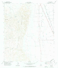 1972 Lobo1975 Print · USGSThe Trans-Pecos desert in the early seventies centers on the rail siding of Lobo and the massive Van Horn Mountains. Researchers can trace ranching infrastructure like the High Lonesome Windmill and the path of the Southern Pacific railroad.
 - 1985 Map of Mount Livermore
 1985 Mount Livermore1985 Print · USGSThe trans-Pecos landscape of the mid-1980s comes to life through this survey of the desert floor and volcanic peaks. Trace the Southern Pacific line past Valentine or locate historic sites like Plata Verde Mines and the McDonald Observatory.3 unique versions available
 - 2010 Map of Lobo, 2010 Print
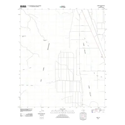 2010 Lobo2010 Print · USGSCulberson County ranching country is documented here during the early twenty-first century, centered on the settlement of Lobo. Researchers can trace old mountain routes and water sources from HighLonesome Peak down to Wild Horse Creek.
 - 2012 Map of Lobo, 2012 Print
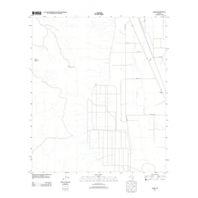 2012 Lobo2012 Print · USGSThe high desert of Culberson County is captured here in the early twenty-first century, centered on the ranching outpost of Lobo. Researchers can trace the development of the valley floor along Wild Horse Creek and identify landmarks like High Lonesome Peak.
 - 2016 Map of Lobo, 2016 Print
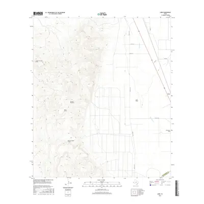 2016 Lobo2016 Print · USGSThe Trans-Pecos highlands and the basin of Lobo Valley are captured here in the mid-2010s. Local historians and researchers can trace the rugged drainages of China Canyon and identify remote landmarks like High Lonesome Peak.
 - 2019 Map of Lobo, 2019 Print
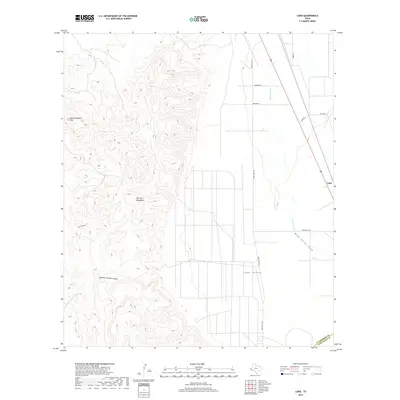 2019 Lobo2019 Print · USGSLobo and the rugged Van Horn Mountains are captured here in the late twenty-teens, showing the transition from peaks to the Lobo Valley. Researchers can trace old cattle routes and desert landmarks like High Lonesome Peak and China Canyon.
 - 2022 Map of Lobo, 2022 Print
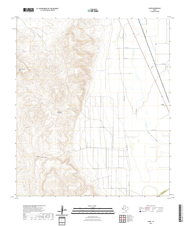 2022 Lobo2022 Print · USGSThe West Texas desert meets the high slopes of the Van Horn Mountains in this modern topographical study. Trace the remote settlement of Lobo and follow local ranching routes like Chispa Rd across the expansive Lobo Valley.
End of results
Showing maps 1-12 of 12
Top cities near Lobo
Frequently asked questions
- What are the different types of historical maps available for Lobo?
- What is the oldest map of Lobo?
- Where can I purchase historical maps of Lobo for my home or office?
- Where can I download high-res historical maps of Lobo?
- Are there historical topographic maps available for Lobo?
- Is there historical aerial imagery available for Lobo?
- Where are historical maps of Lobo sourced from?