
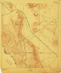
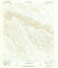
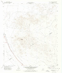
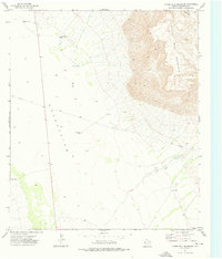
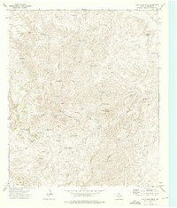
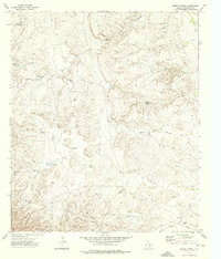
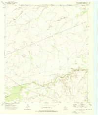
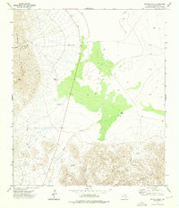
1897 Map of Chispa
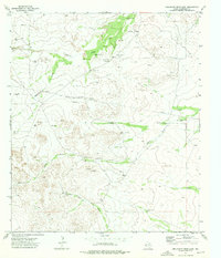
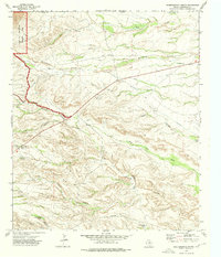
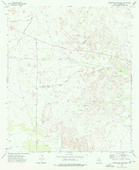
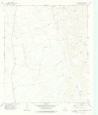
USGS Topo · Published 1897This historical map portrays the area of Chispa in 1897, primarily covering Culberson County as well as portions of Jeff Davis County, Presidio County, and Hudspeth County. Featuring a scale of 1:125000, this map provides a highly detailed snapshot of the terrain, roads, buildings, counties, and historical landmarks in the Chispa region at the time. Published in 1897, it is one of 3 known editions of this map due to revisions or reprints.
Find a feature on this map
23 named features on this map. Tap any name to fly to it.
Don’t see what you’re looking for? This feature index may not catch every label — zoom into the map to look around manually.
Map Details
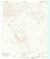
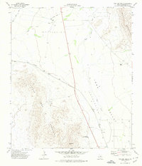
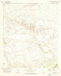
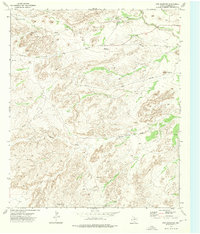
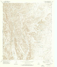
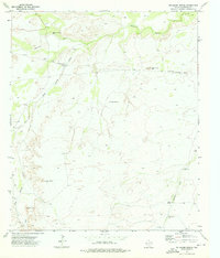
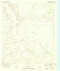
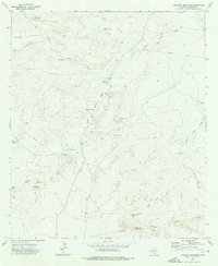
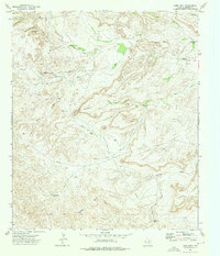
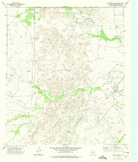
Editions of this 1897 Chispa Map
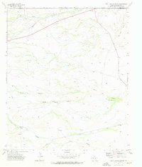
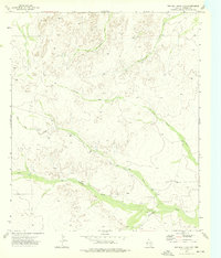
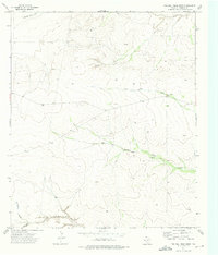
3 editions found
Historical Maps of Lobo Through Time
63 maps found

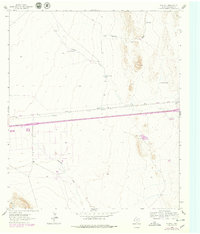
1892 Chispa
Culberson County, TX

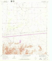
1895 Chispa
Culberson County, TX
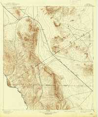
1897 Chispa
Culberson County, TX

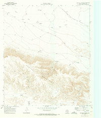
1928 Kent
Culberson County, TX
1933 Guadalupe Peak
Culberson County, TX

1940 Guadalupe Peak
Culberson County, TX

1964 Goat Canyon
Culberson County, TX
1964 Nutt Ranch
Culberson County, TX
1964 Plateau
Culberson County, TX

1964 Watson Ranch
Culberson County, TX
1964 Wild Horse
Culberson County, TX

1970 Boracho
Culberson County, TX
1970 East Hunter Canyon
Culberson County, TX

1970 Fencepost Draw
Culberson County, TX

1970 Iron Mountain
Culberson County, TX

1970 Kent
Culberson County, TX
1970 Panther Canyon
Culberson County, TX
1972 Chispa Mountain
Culberson County, TX
1972 Chispa Mountain NW
Culberson County, TX

1972 Lobo
Culberson County, TX

1972 Seven Heart Gap
Culberson County, TX

1972 Square Mesa
Culberson County, TX
1972 Van Horn Wells
Culberson County, TX
1973 Alligator Draw
Culberson County, TX
1973 Bitter Well Mountain
Culberson County, TX
1973 Burro Canyon
Culberson County, TX
1973 Castile Hill
Culberson County, TX
1973 Chico Draw East
Culberson County, TX
1973 Chico Draw West
Culberson County, TX
1973 Cow Mountain
Culberson County, TX
1973 Delaware Ranch
Culberson County, TX
1973 Delaware Spring
Culberson County, TX
1973 Dellahunt Draw East
Culberson County, TX
1973 Dellahunt Draw West
Culberson County, TX
1973 Derrick Draw
Culberson County, TX
1973 Dome Hill
Culberson County, TX
1973 Emory Corral
Culberson County, TX
1973 Figure Two Ranch
Culberson County, TX

1973 Guadalupe Pass
Culberson County, TX

1973 Guadalupe Peak
Culberson County, TX
1973 Hopper Draw East
Culberson County, TX
1973 Hopper Draw West
Culberson County, TX
1973 Independence Spring
Culberson County, TX
1973 K C Ranch
Culberson County, TX
1973 Loneman Mountain
Culberson County, TX
1973 Long Point
Culberson County, TX
1973 Outlaw Spring
Culberson County, TX

1973 Owl Hills
Culberson County, TX
1973 Rustler Hills
Culberson County, TX
1973 Screw Bean Draw East
Culberson County, TX
1973 Screw Bean Draw NE
Culberson County, TX
1973 Screw Bean Draw West
Culberson County, TX
1973 Seven Heart Gap NW
Culberson County, TX
1973 Seven L Peak
Culberson County, TX
1973 Seven L Peak NE
Culberson County, TX
1973 Six Bar Ranch
Culberson County, TX
1973 South Rector Canyon
Culberson County, TX
1973 Two Mill Draw East
Culberson County, TX
1973 Two Mill Draw West
Culberson County, TX
1973 Victorio Peak
Culberson County, TX
1978 Chispa Mountain NE
Culberson County, TX

1985 Guadalupe Peak
Culberson County, TX

1993 Guadalupe Peak
Culberson County, TX