
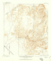
1895 Map of Chispa
USGS Topo · Published 1895About this map
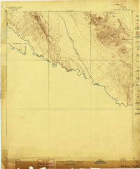
The high desert corridor of Far West Texas is defined here by the transit routes between the Van Horn Mountains and the Wiley Mountains. Surveyed in the early 1890s, the landscape is dominated by the strategic intersection of early rail lines and essential water stops like Van Horns Wells. The Southern Pacific R. R. and the Galveston Harrisburg And San Antonio Div. cut across the arid terrain, creating small sidings and settlements such as Chispa, Arno, and Wendell.
Find a feature on this map
21 named features on this map. Tap any name to fly to it.
Don’t see what you’re looking for? This feature index may not catch every label — zoom into the map to look around manually.
Map Details
Editions of this 1895 Chispa Map
This is the sole edition of this map. No revisions or reprints were ever made.
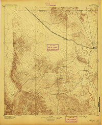
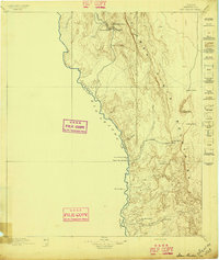
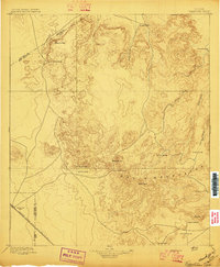
Other maps of this area

1892 · Chispa
USGS Topo · 1:125,000
1894 · Valentine
USGS Topo · 1:125,000
1895 · Marfa
USGS Topo · 1:125,000

1895 · Sierra Blanca
USGS Topo · 1:125,000
1896 · San Carlos
USGS Topo · 1:125,000
1897 · Valentine
USGS Topo · 1:125,000
1897 · Eagle Mountain
USGS Topo · 1:125,000

1897 · Chispa
USGS Topo · 1:125,000

1906 · Van Horn
USGS Topo · 1:125,000

1916 · Eagle Mountain
USGS Topo · 1:125,000