Old Maps of Ort, Texas for Academic Research
Study the evolution of Ort with 10 high-resolution historic maps. Whether you're teaching, researching, or modeling changes in land use, these maps provide essential visual documentation of urban, environmental, and geographic change.
- Analyze long-term change: Track patterns in development, transportation, and natural features.
- Ideal for environmental or urban studies: Support academic projects with primary historical map data.
- Use in the classroom or lab: Educators and researchers rely on these maps to bring historical context to life.
These maps are a powerful tool for teaching, research, and visualizing how Ort has changed over the decades.
Ort, TX maps
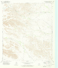
(10)- 1928 Map of Kent
 1928 Kent1928 Print · USGSWest Texas ranching and rail life at the end of the 1920s are captured here as the region transitioned toward modern highway travel. Genealogists and historians can trace early outposts like Kent, family ranch sites such as Diamond Ranch, and the route of the Old Spanish Trail.
 - 1954 Map of Van Horn, 1964 Print
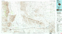
 1954 Van Horn1964 Print · USGSThe Trans-Pecos region of West Texas comes into focus in the mid-1950s as a vital corridor of rail and desert commerce. Researchers can trace the path of the Texas and Pacific through Van Horn or locate remote rail sidings like Borracho and Laska Siding.2 unique versions available
 - 1958 Map of Van Horn
 1958 Van Horn1958 Print · USGSWest Texas ranching and rail history come alive in this 1950s survey of the Trans-Pecos desert during the era of major steam-to-diesel transition. Genealogists and historians can trace family-named outposts like Mayfield Ranch or locate the ruins of Presidio Viejo along the Rio Grande.
 - 1973 Map of Hopper Draw West, 1976 Print
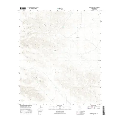
 1973 Hopper Draw West1976 Print · USGSCulberson County ranchland and rail infrastructure are captured here in the early 1970s. Trace the path of the Texas and Pacific railroad or locate remote water features like Hopper Windmill, Veal Tank, and the isolated Landing Strip.
 - 1985 Map of Van Horn
 1985 Van Horn1985 Print · USGSFar West Texas comes into focus in the mid-1980s as a high-desert crossroads for rail and ranching. Genealogists and historians can trace the Southern Pacific line through Van Horn, locate the settlement of Kent, and explore landmarks like Seven Heart Gap.3 unique versions available
 - 2010 Map of Hopper Draw West, 2010 Print
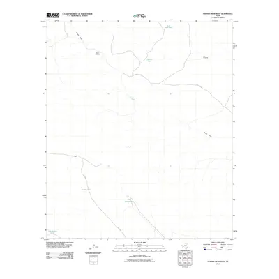 2010 Hopper Draw West2010 Print · USGSCovers Ort, including Culberson County, United States, and other nearby areas
 - 2012 Map of Hopper Draw West, 2012 Print
 2012 Hopper Draw West2012 Print · USGSCovers Ort, including Culberson County, United States, and other nearby areas
 - 2016 Map of Hopper Draw West, 2016 Print
 2016 Hopper Draw West2016 Print · USGSCovers Ort, including Culberson County, United States, and other nearby areas
 - 2019 Map of Hopper Draw West, 2019 Print
 2019 Hopper Draw West2019 Print · USGSCovers Ort, including Culberson County, United States, and other nearby areas
 - 2022 Map of Hopper Draw West, 2022 Print
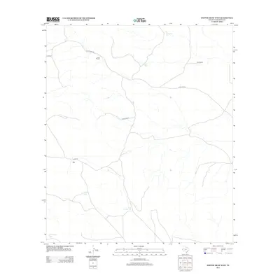
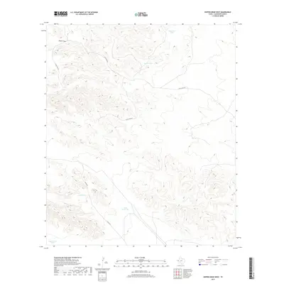
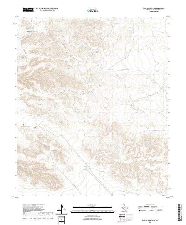 2022 Hopper Draw West2022 Print · USGSThe arid lands of Culberson County are captured here in the early twenty-first century, showing a remote landscape shaped by water management. You can trace ranching infrastructure across the desert by locating Jackson Tank, Hopper Draw, and the Elcor-Toyah Rd.
End of results
Showing maps 1-10 of 10
Frequently asked questions
- What are the different types of historical maps available for Ort?
- What is the oldest map of Ort?
- Where can I purchase historical maps of Ort for my home or office?
- Where can I download high-res historical maps of Ort?
- Are there historical topographic maps available for Ort?
- Is there historical aerial imagery available for Ort?
- Where are historical maps of Ort sourced from?