2020s Maps of Farmers Branch, Texas
Explore 2 historic maps of Farmers Branch from the 2020s. These maps offer a rare glimpse into what life looked like during the 2020s — showing old roads, neighborhoods, homes, and landmarks that have changed or disappeared over time.
Whether you're researching your family's past, planning a metal detecting trip, or studying how Farmers Branch's landscape evolved across the 2020s, these high-resolution maps are a powerful tool for exploring the history of this region.
- Focus on a specific era: All maps on this page are from the 2020s, giving you a focused view of this time period.
- See what’s changed: Compare century-old streets, trails, and buildings to today's modern landscape using overlays and satellite layers.
- Research with precision: Use these maps for genealogy, historical research, land use analysis, or educational projects.
- View, download, or print: Maps are fully viewable online in high resolution, and can be downloaded or printed for your own records.
Start exploring Farmers Branch's history through authentic maps from the 2020s. This is your window into the past.
Farmers Branch, TX maps
(2)- 2022 Map of Carrollton, 2022 Print
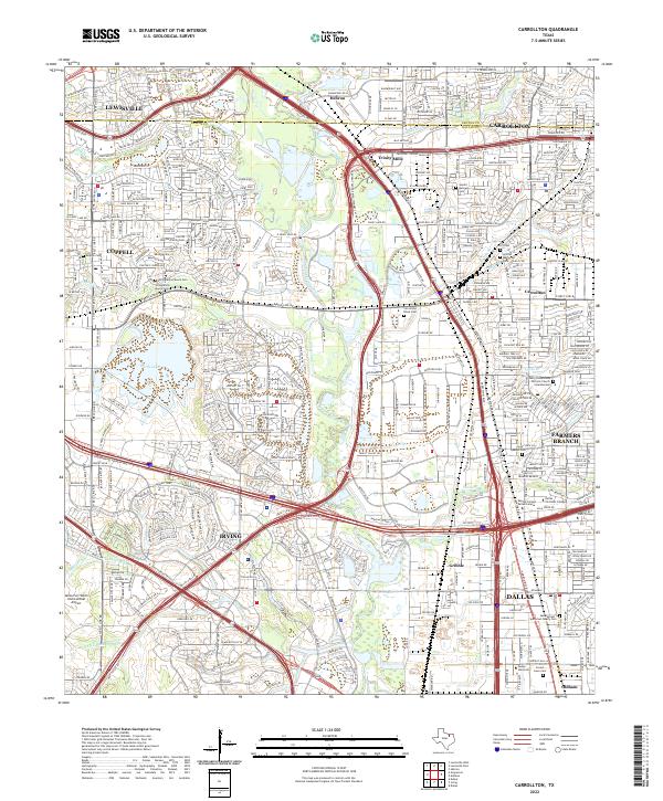 2022 Carrollton2022 Print · USGSThe northern Dallas suburbs come into focus during this era of rapid growth and transit expansion. Genealogists can locate several family burial grounds including Parrish Family Cem, Keenan Cem, and the historic Carrollton Black Cem.
 - 2023 Map of Addison, 2023 Print
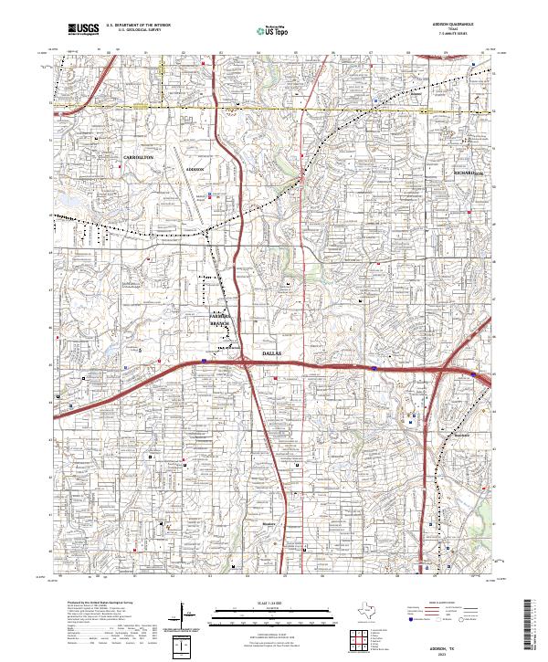 2023 Addison2023 Print · USGSThe North Dallas suburbs of ADDISON and FARMERS BRANCH show their modern density in this 2023 survey. Researchers can locate historic sites like Frankford Cem alongside contemporary landmarks like Addison Airport and Brookhaven College.
End of results
Showing maps 1-2 of 2
Top cities near Farmers Branch
- Dallas historical maps
- Fort Worth historical maps
- Arlington historical maps
- Plano historical maps
- Irving historical maps
- Garland historical maps
See more
Frequently asked questions
- What are the different types of historical maps available for Farmers Branch?
- What is the oldest map of Farmers Branch?
- Where can I purchase historical maps of Farmers Branch for my home or office?
- Where can I download high-res historical maps of Farmers Branch?
- Are there historical topographic maps available for Farmers Branch?
- Is there historical aerial imagery available for Farmers Branch?
- Where are historical maps of Farmers Branch sourced from?