Old Maps of DISH, Texas for Hiking & Exploration
Hike through history with 16 historic maps of DISH. Explore old trails, ghost towns, and forgotten backroads — perfect for outdoor adventurers and local explorers.
- Rediscover forgotten places: Map out old mining camps, roads, and footpaths that no longer exist on modern maps.
- Layer with modern tools: Combine with LiDAR or satellite views to plan hikes through historical terrain.
- Made for exploration: Popular among hikers, overlanders, and local history lovers.
Use these maps to find adventure and explore the hidden past of DISH.
DISH, TX maps
(16)- 1954 Map of Sherman, 1964 Print
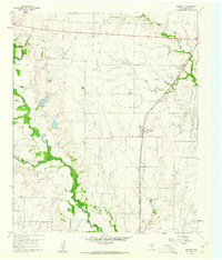
 1954 Sherman1964 Print · USGSThe Red River valley and North Texas plains are captured here in the mid-fifties, showing the region as new reservoirs like Lake Texoma and Lavon Reservoir reshaped the land. Genealogists can trace family roots through specific local landmarks like Courtney P O, Pilot Grove Sch, and New Hope Ch.2 unique versions available
 - 1958 Map of Sherman, 1959 Print
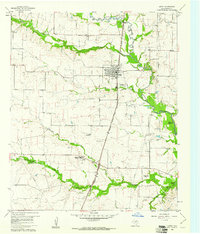
 1958 Sherman1959 Print · USGSNorth Texas and Southern Oklahoma were undergoing significant development in the late fifties as the Red River Valley transit networks matured. Researchers can trace historic family-named locations such as Saddler Bend, the grounds of Perrin AFB, and early shoreline developments at Lake Texoma.
 - 1959 Map of Ponder, 1961 Print
 1959 Ponder1961 Print · USGSDenton County in the late fifties was a landscape of winding creeks and emerging rail-side towns. Genealogists can locate family landmarks like Akain Cem, Stony Cem, and Brown Chapel, or trace the path of the Gulf Colorado and Santa Fe railroad.2 unique versions available
 - 1960 Map of Justin, 1961 Print
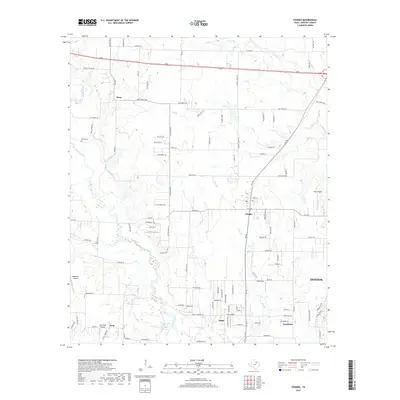
 1960 Justin1961 Print · USGSDenton County at the start of the 1960s shows a landscape of established rail towns and emerging reservoirs. Genealogists and local historians can trace the Elizabethtown (Site), locate the Odd Fellows Cem, and see the early footprint of the Grapevine Reservoir.4 unique versions available
 - 1985 Map of Denton
 1985 Denton1985 Print · USGSNorth Texas in the mid-eighties shows a region of growing towns and established rail lines. Trace family roots and local history through Wizard Wells, the old Oaklawn Cem, and the tracks of the Burlington Northern.
 - 1991 Map of Denton
 1991 Denton1991 Print · USGSNorth Texas in the early nineties shows a region transitioning between rural heritage and modern infrastructure across several counties. Genealogists and historians can trace rail lines like the Missouri Pacific or find established settlements such as Sanger, Bolivar, and Greenwood.2 unique versions available
 - 2010 Map of Ponder, 2010 Print
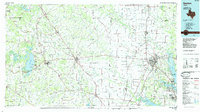
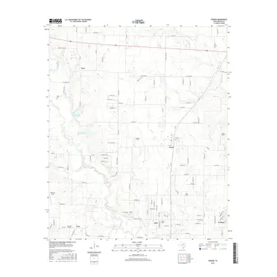
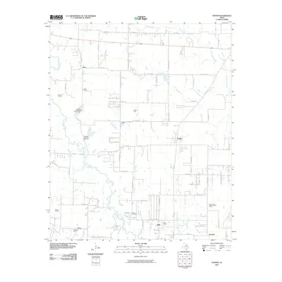 2010 Ponder2010 Print · USGSCovers DISH, including Denton, Northlake, and other nearby areas
 - 2010 Map of Justin, 2010 Print
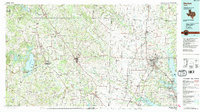
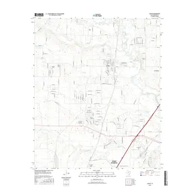
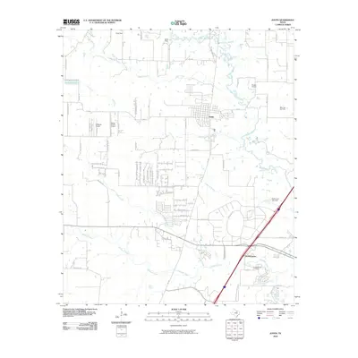 2010 Justin2010 Print · USGSCovers DISH, including Fort Worth, Roanoke, and other nearby areas
 - 2013 Map of Ponder, 2013 Print
 2013 Ponder2013 Print · USGSCovers DISH, including Denton, Northlake, and other nearby areas
 - 2013 Map of Justin, 2013 Print
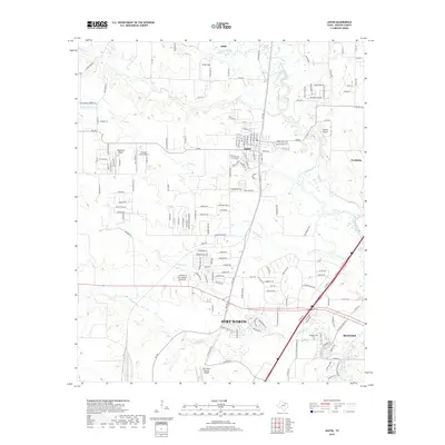
 2013 Justin2013 Print · USGSCovers DISH, including Fort Worth, Roanoke, and other nearby areas
 - 2016 Map of Ponder, 2016 Print
 2016 Ponder2016 Print · USGSCovers DISH, including Denton, Northlake, and other nearby areas
 - 2016 Map of Justin, 2016 Print
 2016 Justin2016 Print · USGSCovers DISH, including Fort Worth, Roanoke, and other nearby areas
 - 2019 Map of Justin, 2019 Print
 2019 Justin2019 Print · USGSCovers DISH, including Fort Worth, Roanoke, and other nearby areas
 - 2019 Map of Ponder, 2019 Print
 2019 Ponder2019 Print · USGSCovers DISH, including Denton, Northlake, and other nearby areas
 - 2022 Map of Ponder, 2022 Print
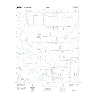
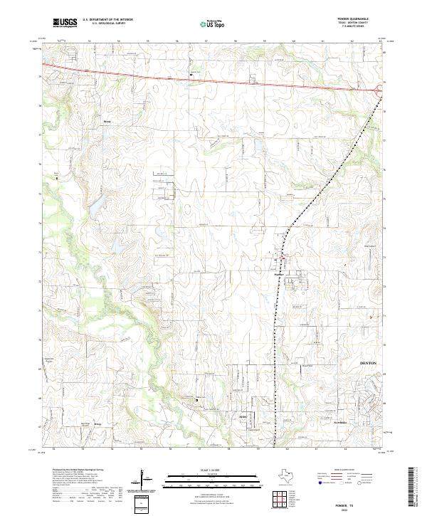 2022 Ponder2022 Print · USGSThe prairie landscape west of Denton is captured here in the early twenty-first century as suburban growth meets rural ranchland. Genealogists can trace family sites near Stony and Drop, or locate the Eakins Cem and Hicks Airport.
 - 2022 Map of Justin, 2022 Print
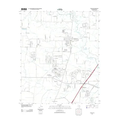
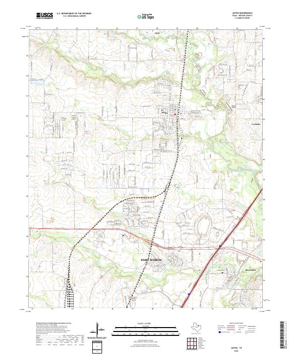 2022 Justin2022 Print · USGSDenton County's landscape at the start of the 2020s shows a unique intersection of Texas ranching roots and modern aviation. Trace local family histories at Justin Cem or explore the many airfields like Propwash Airport and Dooley Airport that dot the plains.
End of results
Showing maps 1-16 of 16
Top cities near DISH
- Fort Worth historical maps
- Denton historical maps
- Flower Mound historical maps
- North Richland Hills historical maps
- Grapevine historical maps
- Keller historical maps
See more
Frequently asked questions
- What are the different types of historical maps available for DISH?
- What is the oldest map of DISH?
- Where can I purchase historical maps of DISH for my home or office?
- Where can I download high-res historical maps of DISH?
- Are there historical topographic maps available for DISH?
- Is there historical aerial imagery available for DISH?
- Where are historical maps of DISH sourced from?