Old Maps of Cuero, Texas for Academic Research
Study the evolution of Cuero with 15 high-resolution historic maps. Whether you're teaching, researching, or modeling changes in land use, these maps provide essential visual documentation of urban, environmental, and geographic change.
- Analyze long-term change: Track patterns in development, transportation, and natural features.
- Ideal for environmental or urban studies: Support academic projects with primary historical map data.
- Use in the classroom or lab: Educators and researchers rely on these maps to bring historical context to life.
These maps are a powerful tool for teaching, research, and visualizing how Cuero has changed over the decades.
Cuero, TX maps
(15)- 1953 Map of Seguin, 1965 Print
 1953 Seguin1965 Print · USGSSouth Texas in the early fifties shows a thriving river-and-rail economy across the Guadalupe and Colorado basins. Genealogists and historians can trace rail routes like the Southern Pacific through Seguin, locate oil wells, or find the Gary AAF near San Marcos.4 unique versions available
 - 1958 Map of Seguin
 1958 Seguin1958 Print · USGSSouth Texas in the late fifties was a network of river-valley settlements and active oilfields tied together by major rail lines. Genealogists and historians can trace family-named sites across Rabb Prairie, locate the Behring Store, or follow the Southern Pacific through Schulenburg.
 - 1960 Map of Cuero, 1961 Print
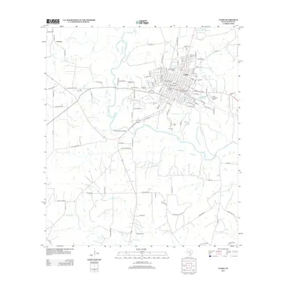
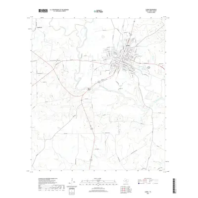
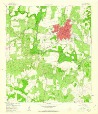 1960 Cuero1961 Print · USGSCuero and the surrounding DeWitt County ranching and rail lands are captured here at the start of the 1960s. Genealogists and local historians can trace family locations through several burial grounds like Hillside Cem and Westville Cem, alongside rural schools such as Ratcliffe Sch.3 unique versions available
 - 1960 Map of Concrete, 1961 Print
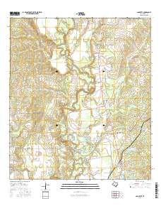
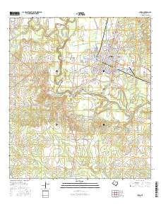
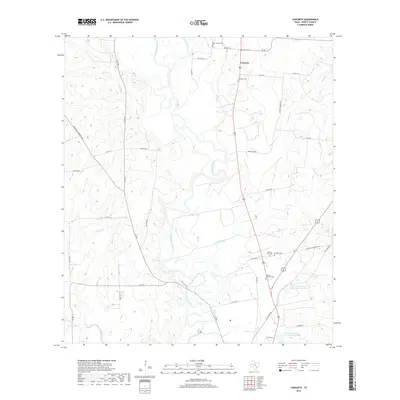
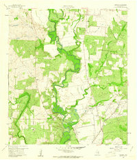 1960 Concrete1961 Print · USGSDeWitt County appears in the early sixties as a landscape of river bends and rail lines at the height of its mid-century rural character. Genealogists and local historians can trace family locations near Nelms Cem, the Valley View Sch, and the community hub of Concrete.3 unique versions available
 - 1985 Map of Cuero
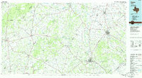 1985 Cuero1985 Print · USGSSouth Texas in the mid-eighties reveals a landscape of river-bottom farms and active petroleum production. Researchers can trace family-named landmarks and rural settlements like Monthalia, Kosciuszko, and the Thomaston Oil Field along the Southern Pacific rail lines.2 unique versions available
 - 2010 Map of Concrete, 2010 Print
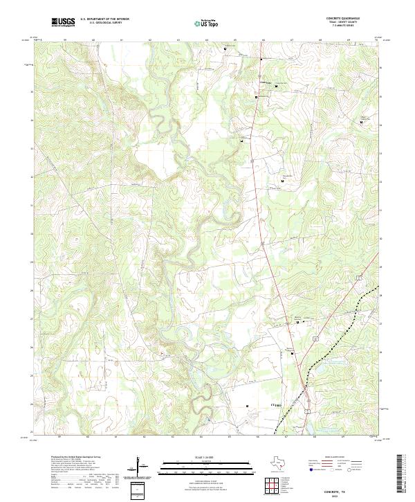
 2010 Concrete2010 Print · USGSCovers Cuero, including Buchel, Concrete, and other nearby areas
 - 2010 Map of Cuero, 2010 Print
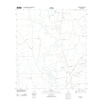
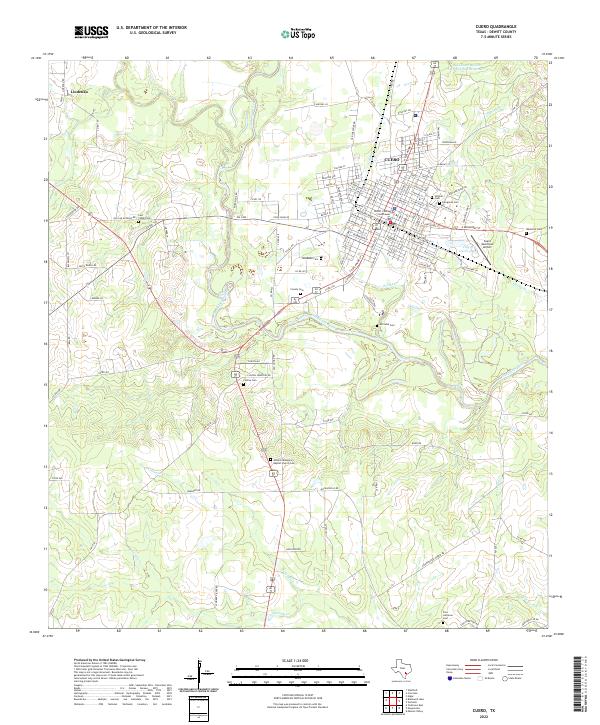
 2010 Cuero2010 Print · USGSCovers Cuero, including Clinton, Lindenau, and other nearby areas
 - 2013 Map of Concrete, 2013 Print
 2013 Concrete2013 Print · USGSCovers Cuero, including Buchel, Concrete, and other nearby areas
 - 2013 Map of Cuero, 2013 Print
 2013 Cuero2013 Print · USGSCovers Cuero, including Clinton, Lindenau, and other nearby areas
 - 2016 Map of Concrete, 2016 Print
 2016 Concrete2016 Print · USGSCovers Cuero, including Buchel, Concrete, and other nearby areas
 - 2016 Map of Cuero, 2016 Print
 2016 Cuero2016 Print · USGSCovers Cuero, including Clinton, Lindenau, and other nearby areas
 - 2019 Map of Cuero, 2019 Print
 2019 Cuero2019 Print · USGSCovers Cuero, including Clinton, Lindenau, and other nearby areas
 - 2019 Map of Concrete, 2019 Print
 2019 Concrete2019 Print · USGSCovers Cuero, including Buchel, Concrete, and other nearby areas
 - 2022 Map of Concrete, 2022 Print
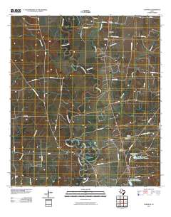
 2022 Concrete2022 Print · USGSDeWitt County in the early 2020s remains a landscape of river-bottom settlements and deep family roots. Researchers can trace dozens of local burial sites like Edgar Family Cem and the community of Concrete along the winding Guadalupe River.
 - 2022 Map of Cuero, 2022 Print
 2022 Cuero2022 Print · USGSCuero and the winding Guadalupe River valley are captured here in the early twenty-first century. Genealogists and local historians can trace numerous rural burial sites like Antioch Missionary Baptist Church Cem and Lost Creek Cem.
End of results
Showing maps 1-15 of 15
Top cities near Cuero
Frequently asked questions
- What are the different types of historical maps available for Cuero?
- What is the oldest map of Cuero?
- Where can I purchase historical maps of Cuero for my home or office?
- Where can I download high-res historical maps of Cuero?
- Are there historical topographic maps available for Cuero?
- Is there historical aerial imagery available for Cuero?
- Where are historical maps of Cuero sourced from?