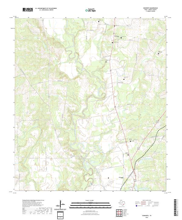
2022 Map of Concrete
USGS Topo · Published 2022About this map
The Guadalupe River meanders through DeWitt County, shaping a landscape defined by significant hydrological management and small-scale settlement patterns north of Cuero. This modern survey details the intricate network of watercourses, including Cuero Cr, Sandies Cr, and Willow Br, alongside modern infrastructure like the Soil Conservation Service Site 1 Reservoir. For genealogists, the map is remarkably dense with family-named burial grounds and community landmarks. The settlement of Concrete stands as a focal point, surrounded by a high concentration of cemeteries such as the Concrete Cem, Nelms Cem, and Edgar Family Cem. Further south, Pleasantville and the outskirts of the county seat appear, connected by historic thoroughfares like Old Yoakum Rd and Hells Gate Rd, providing a clear look at how contemporary land use respects these older community boundaries.
Find a feature on this map
44 named features on this map. Tap any name to fly to it.
Don’t see what you’re looking for? This feature index may not catch every label — zoom into the map to look around manually.
Map Details
Editions of this 2022 Concrete Map
This is the sole edition of this map. No revisions or reprints were ever made.
Other maps of this area

1953 · Seguin
USGS Topo · 1:250,000

1958 · Seguin
USGS Topo · 1:250,000

1959 · Hochheim
USGS Topo · 1:24,000

1960 · Cuero
USGS Topo · 1:24,000

1960 · Concrete
USGS Topo · 1:24,000

1960 · Blackwell Lake
USGS Topo · 1:24,000

1960 · Cheapside
USGS Topo · 1:24,000

1960 · Westhoff
USGS Topo · 1:24,000

1962 · Verhelle
USGS Topo · 1:24,000

1962 · Edgar
USGS Topo · 1:24,000