
1960 Map of Cuero
USGS Topo · Published 1961About this map
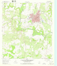
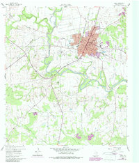
The Guadalupe River snakes through the heart of this DeWitt County landscape, framing the development of Cuero at the dawn of the 1960s. The city's concentrated grid shows a community established around the Southern Pacific Railroad Grade and the Texas and New Orleans Railroad Grade, reflecting the rail-driven economy of the era. Cultural landmarks like Hillside Cem, the Armory, and Burns Hospital anchor the urban center, while a Historical Marker suggests a deep-rooted local heritage. Outside the city limits, the terrain transitions to rural acreage dotted with small settlements like Lindenau and industrial sites including several Gravel Pits and an Oil Well. The distribution of family-named landmarks such as Mc Crabb Cem and local institutions like Ratcliffe Sch offer specific points of interest for genealogists tracing the mid-century footprint of this South Texas region.
Find a feature on this map
30 named features on this map. Tap any name to fly to it.
Don’t see what you’re looking for? This feature index may not catch every label — zoom into the map to look around manually.
Map Details
Editions of this 1960 Cuero Map
Other maps of this area

1953 · Beeville
USGS Topo · 1:250,000

1953 · Seguin
USGS Topo · 1:250,000

1956 · Beeville
USGS Topo · 1:250,000

1958 · Seguin
USGS Topo · 1:250,000

1960 · Beeville
USGS Topo · 1:250,000

1960 · Concrete
USGS Topo · 1:24,000

1960 · Blackwell Lake
USGS Topo · 1:24,000

1960 · Westhoff
USGS Topo · 1:24,000

1962 · Verhelle
USGS Topo · 1:24,000

1962 · Edgar
USGS Topo · 1:24,000