
1960 Map of Concrete
USGS Topo · Published 1961About this map
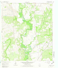
The Guadalupe River meanders heavily through this DeWitt County landscape, creating a series of sharp oxbows and floodplains that define the local topography. This 1960 field-checked survey reveals a rural community supported by a mix of agriculture and industry, with several Gravel Pits and a Powerplant situated near the riverbanks. The settlement of Concrete sits in the northern section, while the Buchel Community Center and New Hope Ch serve as social anchors for the surrounding countryside.
Find a feature on this map
21 named features on this map. Tap any name to fly to it.
Don’t see what you’re looking for? This feature index may not catch every label — zoom into the map to look around manually.
Map Details
Editions of this 1960 Concrete Map
3 editions found
Other maps of this area

1953 · Seguin
USGS Topo · 1:250,000

1958 · Seguin
USGS Topo · 1:250,000

1959 · Hochheim
USGS Topo · 1:24,000

1960 · Cuero
USGS Topo · 1:24,000

1960 · Blackwell Lake
USGS Topo · 1:24,000

1960 · Cheapside
USGS Topo · 1:24,000

1960 · Westhoff
USGS Topo · 1:24,000

1962 · Verhelle
USGS Topo · 1:24,000

1962 · Edgar
USGS Topo · 1:24,000

1963 · Yoakum
USGS Topo · 1:24,000