Old Maps of Afton, Texas
Explore 8 old maps of Afton, spanning from 1954 to today. These high-resolution historic maps reveal how streets, neighborhoods, landmarks, and natural features evolved over time — perfect for genealogy, metal detecting, research, and local history exploration.
What you can do with these maps:
- See how Afton changed over time: Compare historical maps to modern-day views to trace roads, homesites, rail lines & more.
- View detailed metadata: Each map includes creators, publishers, year, scale, and archive source.
- Overlay maps with satellite & LiDAR: Visualize the past alongside modern tools to explore terrain & human change.
- Trusted historical sources: Maps sourced from the USGS, Library of Congress, and other archives.
- Access maps your way: View online, download high-res files, or order prints for personal or research use.
Start exploring old maps of Afton to uncover forgotten places, hidden landmarks, and the deep history beneath your feet.
Afton, TX maps
(8)- 1954 Map of Lubbock, 1958 Print
 1954 Lubbock1958 Print · USGSThe High Plains and Caprock region of West Texas come alive in the mid-1950s, showing a landscape defined by oil discovery and the Brazos River headwaters. Genealogists and historians can trace rail-connected towns like Roaring Springs, find the Pleasant Valley church, or locate family-named landmarks such as Soldier Mound.4 unique versions available
 - 1968 Map of Afton, 1971 Print
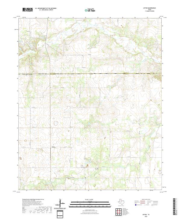
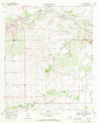 1968 Afton1971 Print · USGSDickens County ranching country is captured here in the late sixties, showing the rural landscape around the South Pease River. Researchers can locate the Patton Springs Sch, the small settlement of Glenn, and the waters of Roaring Spring.
 - 1985 Map of Dickens
 1985 Dickens1985 Print · USGSThe West Texas ranchlands near the Dickens and King County lines are shown here in the mid-eighties as a network of rural settlements and canyon terrain. Trace family roots or land boundaries near Roaring Springs, Soldier Mound, or the Fort Worth and Denver Railroad.2 unique versions available
 - 2010 Map of Afton, 2010 Print
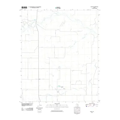 2010 Afton2010 Print · USGSCovers Afton, including Glenn, Dickens County, and other nearby areas
 - 2012 Map of Afton, 2012 Print
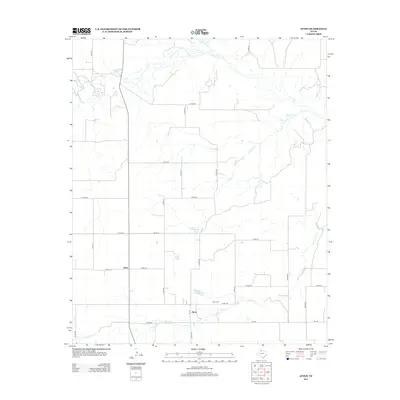 2012 Afton2012 Print · USGSCovers Afton, including Glenn, Dickens County, and other nearby areas
 - 2016 Map of Afton, 2016 Print
 2016 Afton2016 Print · USGSCovers Afton, including Glenn, Dickens County, and other nearby areas
 - 2019 Map of Afton, 2019 Print
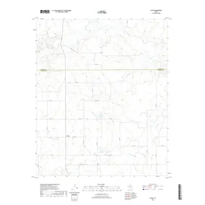 2019 Afton2019 Print · USGSCovers Afton, including Glenn, Dickens County, and other nearby areas
 - 2022 Map of Afton, 2022 Print
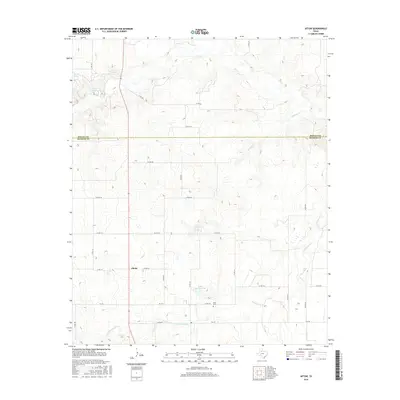
 2022 Afton2022 Print · USGSDickens and Motley counties at the start of the 2020s are captured here as ranching lands centered on local springs. Genealogists can trace family connections at Afton Cem or locate the old crossroads at Glenn and Patton Springs.
End of results
Showing maps 1-8 of 8
Top cities near Afton
Frequently asked questions
- What are the different types of historical maps available for Afton?
- What is the oldest map of Afton?
- Where can I purchase historical maps of Afton for my home or office?
- Where can I download high-res historical maps of Afton?
- Are there historical topographic maps available for Afton?
- Is there historical aerial imagery available for Afton?
- Where are historical maps of Afton sourced from?