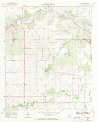
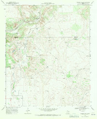
1968 Map of Afton
USGS Topo · Published 1971About this map
The South Pease River winds across the northern reaches of this Dickens County landscape, carving through a terrain defined by intermittent drainages and elevated plains. Near the southern edge of the sheet, the community of Afton serves as a local hub, anchored by the Patton Springs Sch and situated near the headwaters of Cottonwood Creek. The map documents a rural Texas ranching and farming environment in the late 1960s, where small settlements like Glenn and Scott are connected by a network of local roads including Highway 70 and 193.
Find a feature on this map
16 named features on this map. Tap any name to fly to it.
Don’t see what you’re looking for? This feature index may not catch every label — zoom into the map to look around manually.
Map Details
Editions of this 1968 Afton Map
This is the sole edition of this map. No revisions or reprints were ever made.
Other maps of this area

1954 · Lubbock
USGS Topo · 1:250,000
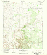
1967 · Dickens North
USGS Topo · 1:24,000
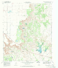
1967 · Haystack Mountain
USGS Topo · 1:24,000
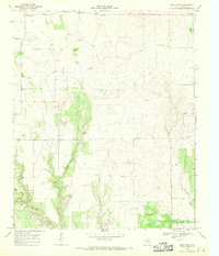
1968 · East Afton
USGS Topo · 1:24,000
1968 · Mac Bain
USGS Topo · 1:24,000
1968 · Roaring Springs
USGS Topo · 1:24,000
1968 · Russellville
USGS Topo · 1:24,000
1968 · Rustler Camp
USGS Topo · 1:24,000
1968 · Sanders Hollow
USGS Topo · 1:24,000
1985 · Dickens
USGS Topo · 1:100,000