Old Maps of Rockledge, Texas
Explore 10 old maps of Rockledge, spanning from 1954 to today. These high-resolution historic maps reveal how streets, neighborhoods, landmarks, and natural features evolved over time — perfect for genealogy, metal detecting, research, and local history exploration.
What you can do with these maps:
- See how Rockledge changed over time: Compare historical maps to modern-day views to trace roads, homesites, rail lines & more.
- View detailed metadata: Each map includes creators, publishers, year, scale, and archive source.
- Overlay maps with satellite & LiDAR: Visualize the past alongside modern tools to explore terrain & human change.
- Trusted historical sources: Maps sourced from the USGS, Library of Congress, and other archives.
- Access maps your way: View online, download high-res files, or order prints for personal or research use.
Start exploring old maps of Rockledge to uncover forgotten places, hidden landmarks, and the deep history beneath your feet.
Rockledge, TX maps
(10)- 1954 Map of Amarillo, 1966 Print
 1954 Amarillo1966 Print · USGSThe Texas Panhandle in the mid-1960s shows a landscape of rising industrial power and deep-rooted ranching tradition. Local historians can trace the paths of the Panhandle and Santa Fe railroad or locate sites like the Pantex Ordnance Plant and Mobeetie.2 unique versions available
 - 1958 Map of Amarillo
 1958 Amarillo1958 Print · USGSThe Texas Panhandle in the mid-1950s reveals a landscape of expanding military installations and oil-rich rail towns. Local historians can trace the development of Amarillo Air Force Base or locate smaller settlements like Magic City and New Mobeetie.
 - 1964 Map of Rockledge, 1967 Print
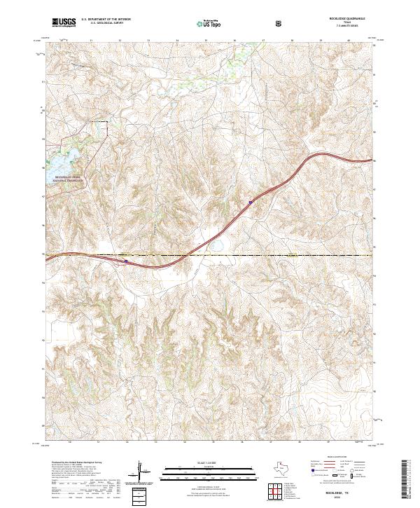
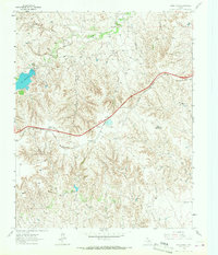 1964 Rockledge1967 Print · USGSThe Texas Panhandle in the early sixties is captured here as a landscape of ranching, energy extraction, and critical rail transport. Genealogists and historians can trace the Chicago Rock Island and Pacific rail line through Rockledge and locate family landmarks like Johnson Ranch.
 - 1983 Map of Shamrock
 1983 Shamrock1983 Print · USGSThe Texas Panhandle in the early 1980s reveals a landscape shaped by petroleum and the rail lines of the southern plains. Genealogists and historians can trace the Chicago Rock Island and Pacific corridor through Mc Lean and Shamrock, or locate smaller centers like Magic City and Lefors.
 - 1998 Map of Rockledge, 2001 Print
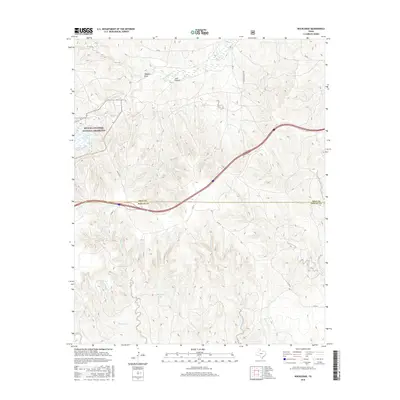
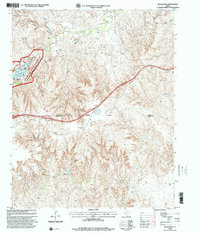 1998 Rockledge2001 Print · USGSThe Texas Panhandle at the close of the twentieth century reveals a landscape defined by the GAS FIELD and the McClellan Creek National Grassland. Genealogists and local historians can trace family-named sites like Johnson Ranch and the small communities of Rockledge and Reed.
 - 2010 Map of Rockledge, 2010 Print
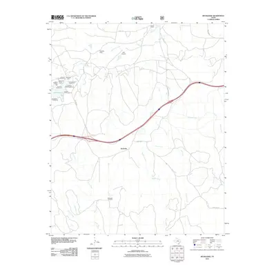 2010 Rockledge2010 Print · USGSCovers Rockledge, including Gray County, Donley County, and other nearby areas
 - 2012 Map of Rockledge, 2012 Print
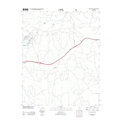 2012 Rockledge2012 Print · USGSCovers Rockledge, including Gray County, Donley County, and other nearby areas
 - 2016 Map of Rockledge, 2016 Print
 2016 Rockledge2016 Print · USGSCovers Rockledge, including Gray County, Donley County, and other nearby areas
 - 2019 Map of Rockledge, 2019 Print
 2019 Rockledge2019 Print · USGSCovers Rockledge, including Gray County, Donley County, and other nearby areas
 - 2022 Map of Rockledge, 2022 Print
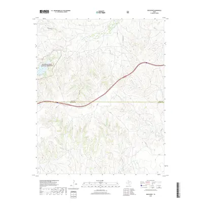
 2022 Rockledge2022 Print · USGSThe High Plains of the Texas Panhandle are captured here in the 2020s, showing the intersection of Gray Co and Donley Co. Researchers can trace old ranching boundaries and water rights along McClellan Cr, Saddlers Cr, and the McClellan Creek National Grassland.
End of results
Showing maps 1-10 of 10
Top cities near Rockledge
Frequently asked questions
- What are the different types of historical maps available for Rockledge?
- What is the oldest map of Rockledge?
- Where can I purchase historical maps of Rockledge for my home or office?
- Where can I download high-res historical maps of Rockledge?
- Are there historical topographic maps available for Rockledge?
- Is there historical aerial imagery available for Rockledge?
- Where are historical maps of Rockledge sourced from?