
1964 Map of Rockledge
USGS Topo · Published 1967About this map
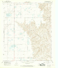
McClellan Canyon and its complex drainage system dominate this mid-1960s landscape, where the High Plains drop away into a network of draws and creeks. The Chicago Rock Island and Pacific railroad cuts across the terrain, serving the small settlement at Rockledge and the industrial activity of the surrounding Gas Field. This survey captures the region's mid-century development, including the recreational and water management importance of Lake McClellan and its spillway.
Find a feature on this map
23 named features on this map. Tap any name to fly to it.
Don’t see what you’re looking for? This feature index may not catch every label — zoom into the map to look around manually.
Map Details
Editions of this 1964 Rockledge Map
This is the sole edition of this map. No revisions or reprints were ever made.
Other maps of this area

1954 · Amarillo
USGS Topo · 1:250,000

1958 · Amarillo
USGS Topo · 1:250,000

1959 · Troublesome Creek
USGS Topo · 1:24,000

1962 · Roach Ranch
USGS Topo · 1:24,000

1962 · Griffin Ranch
USGS Topo · 1:24,000

1962 · Hudgens Ranch
USGS Topo · 1:24,000

1963 · Alanreed
USGS Topo · 1:24,000

1964 · Jericho
USGS Topo · 1:24,000

1968 · Taylor Ranch
USGS Topo · 1:24,000
1968 · Deep Lake
USGS Topo · 1:24,000