
1962 Map of Roach Ranch
USGS Topo · Published 1963About this map
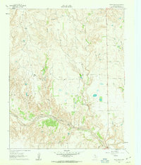
Salt Fork Red River carves a wide path through the southern half of this landscape, its braided channels and adjacent breaks defining the local topography. This 1962 field-checked survey by the United States Geological Survey and the Texas Water Commission documents a transitional ranching and recreational environment in Donley County. The namesake Roach Ranch occupies the western uplands, while the Clarendon Country Club stands as a focal point for leisure in the central region. The map reveals the intricate drainage system feeding the river, including Allen Creek and Carrol Creek, the latter of which features the noted Carrol Springs. To the north, the elevation rises toward the prominent landmark of Mt Ararat, providing a clear view of the erosion patterns and natural draws that characterize this part of the Texas Panhandle during the early 1960s.
Find a feature on this map
11 named features on this map. Tap any name to fly to it.
Don’t see what you’re looking for? This feature index may not catch every label — zoom into the map to look around manually.
Map Details
Editions of this 1962 Roach Ranch Map
3 editions found
Other maps of this area

1954 · Amarillo
USGS Topo · 1:250,000

1954 · Plainview
USGS Topo · 1:250,000

1958 · Amarillo
USGS Topo · 1:250,000

1958 · Plainview
USGS Topo · 1:250,000

1960 · Groom
USGS Topo · 1:62,500

1962 · Lelia Lake
USGS Topo · 1:24,000

1962 · Griffin Ranch
USGS Topo · 1:24,000

1963 · Clarendon
USGS Topo · 1:24,000

1963 · Buffalo Arroyo
USGS Topo · 1:24,000

1964 · Jericho
USGS Topo · 1:24,000