Loading...
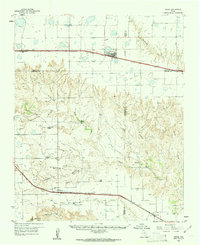
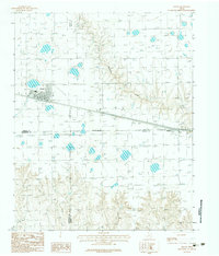
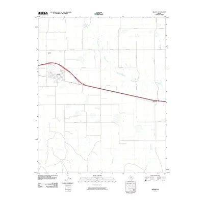
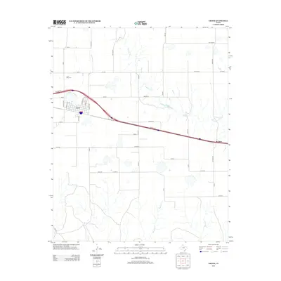
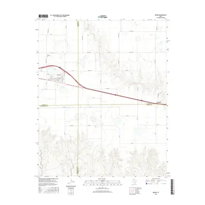
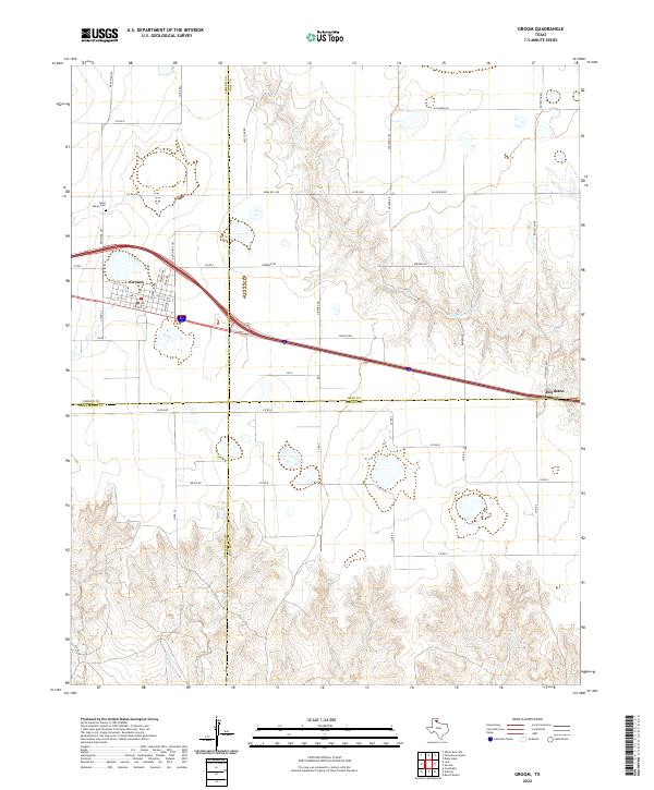
Loading map...1960 Map of Groom
USGS Topo · Published 1961About this map
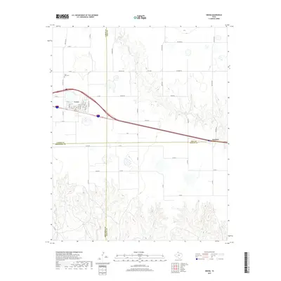
The Chicago Rock Island and Pacific railroad bisects the high plains of the Texas Panhandle here, anchoring the settlement of Groom. To the south, the topography transitions from flat tableland into the broken breaks of the Salt Fork Red River valley. This 1960s landscape is defined by a network of ranching estates, including the Thornberry Ranch, Bugbee Ranch, and Blankenship Ranch, which signify the enduring cattle economy of the region.
Find a feature on this map
32 named features on this map. Tap any name to fly to it.
Don’t see what you’re looking for? This feature index may not catch every label — zoom into the map to look around manually.
Map Details
Date Portrayed1960
Date Published1961
PublisherU.S. Geological Survey
Map TypeTopographic
Scale1:62,500
Physical Dimensions17 x 20.9 inches
Editions of this 1960 Groom Map
This is the sole edition of this map. No revisions or reprints were ever made.
Historical Maps of Groom Through Time
7 maps found
Featured Locations
Source Details
SourceU.S. Geological Survey
CopyrightPublic Domain