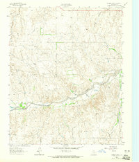
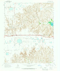
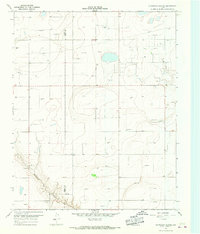
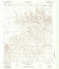
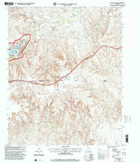
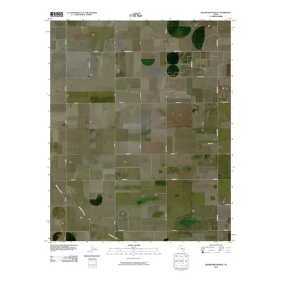
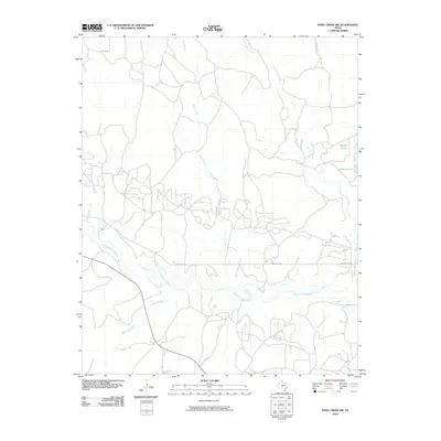
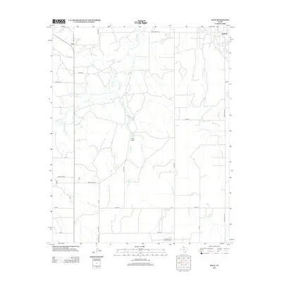
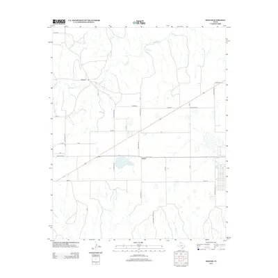
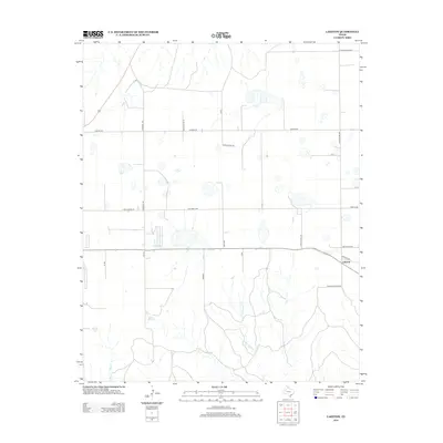
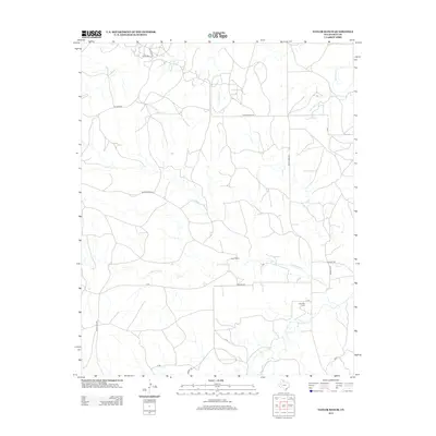
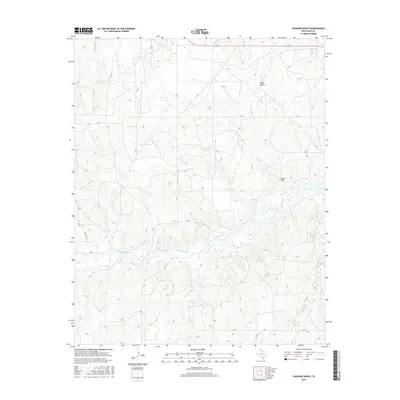
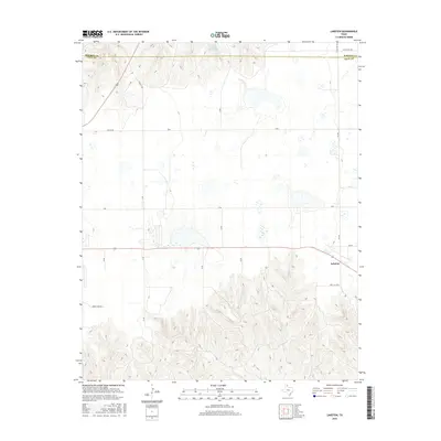
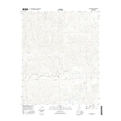
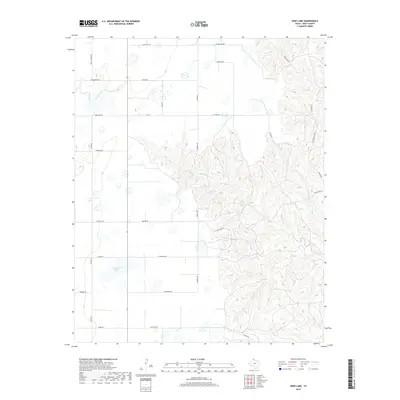
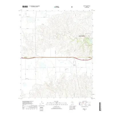
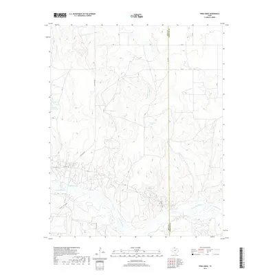
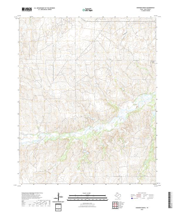
1962 Map of Hudgens Ranch
USGS Topo · Published 1965About this map
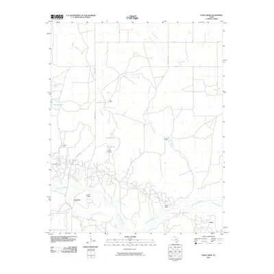
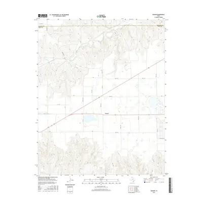
McClellan Creek and its tributary Peterson Creek carve through the landscape of the Texas Panhandle in this 1960s study. The map documents a sparsely populated ranching territory characterized by family-named holdings like the Hudgens Ranch and Dial-Dickey Ranch. The presence of an aboveground pipeline and a Pumping Sta indicates the mid-century infrastructure supporting the region's energy interests, while numerous extractions such as a Gravel Pit and Sandpits suggest local industrial activity along the drainage basins. High-elevation terrain features like Stage Hollow overlook the creek beds, providing a clear picture of the land use patterns where cattle ranching and resource extraction intersect. Genealogists and local historians can trace specific property locations including the Pursley Ranch and Word Ranch near the winding course of the local waterways.
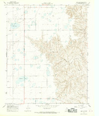
Find a feature on this map
14 named features on this map. Tap any name to fly to it.
Don’t see what you’re looking for? This feature index may not catch every label — zoom into the map to look around manually.
Map Details
Editions of this 1962 Hudgens Ranch Map
This is the sole edition of this map. No revisions or reprints were ever made.
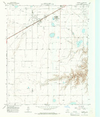
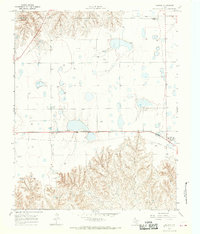
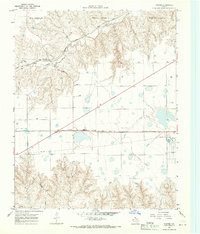
Historical Maps of Gray County Through Time
92 maps found
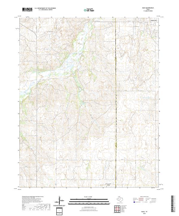
1962 Back
Gray County, TX
1962 Hudgens Ranch
Gray County, TX
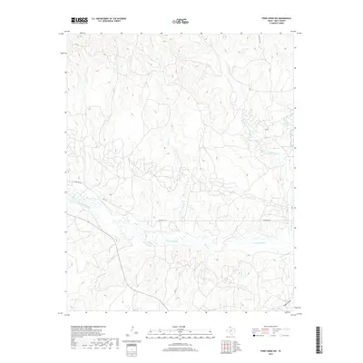
1962 Pond Creek
Gray County, TX
1962 Pond Creek NW
Gray County, TX
1964 Jericho
Gray County, TX
1964 Rockledge
Gray County, TX
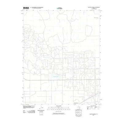
1965 Lake Mc Connell
Gray County, TX
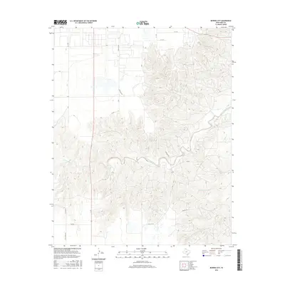
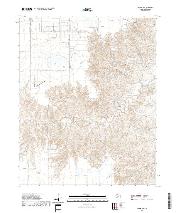
1966 Bowers City
Gray County, TX
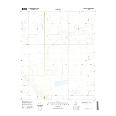
1966 Grandview School
Gray County, TX
1966 Kingsmill
Gray County, TX
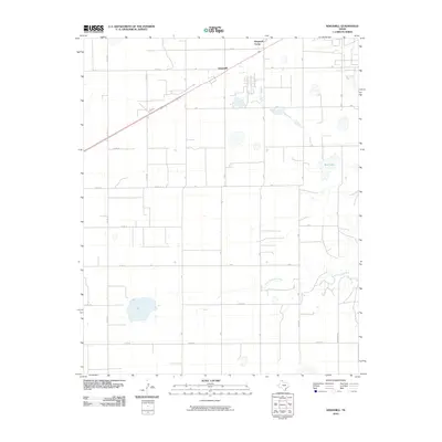
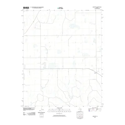
1966 Laketon
Gray County, TX
1967 Hoover
Gray County, TX
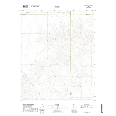
1967 Totty School
Gray County, TX
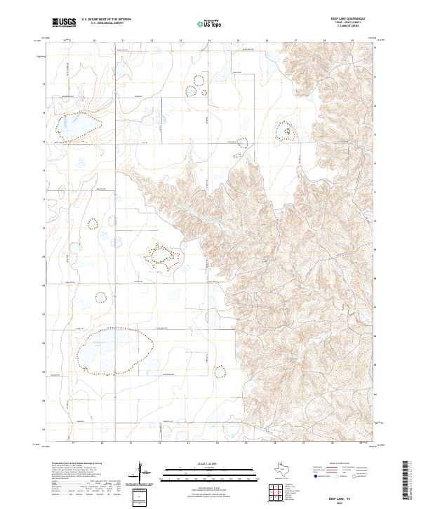
1968 Deep Lake
Gray County, TX
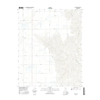
1968 Taylor Ranch
Gray County, TX
1998 Jericho
Gray County, TX
1998 Rockledge
Gray County, TX
2010 Back
Gray County, TX
2010 Bowers City
Gray County, TX
2010 Deep Lake
Gray County, TX
2010 Grandview School
Gray County, TX
2010 Hoover
Gray County, TX
2010 Hudgens Ranch
Gray County, TX
2010 Jericho
Gray County, TX
2010 Kingsmill
Gray County, TX
2010 Lake McConnell
Gray County, TX
2010 Laketon
Gray County, TX
2010 Pond Creek
Gray County, TX
2010 Pond Creek NW
Gray County, TX
2010 Rockledge
Gray County, TX
2010 Taylor Ranch
Gray County, TX
2010 Totty School
Gray County, TX
2012 Back
Gray County, TX
2012 Bowers City
Gray County, TX
2012 Deep Lake
Gray County, TX
2012 Grandview School
Gray County, TX
2012 Hoover
Gray County, TX
2012 Hudgens Ranch
Gray County, TX
2012 Jericho
Gray County, TX
2012 Kingsmill
Gray County, TX
2012 Laketon
Gray County, TX
2012 Pond Creek
Gray County, TX
2012 Pond Creek NW
Gray County, TX
2012 Rockledge
Gray County, TX
2012 Taylor Ranch
Gray County, TX
2012 Totty School
Gray County, TX
2013 Lake McConnell
Gray County, TX
2016 Back
Gray County, TX
2016 Bowers City
Gray County, TX
2016 Deep Lake
Gray County, TX
2016 Grandview School
Gray County, TX
2016 Hoover
Gray County, TX
2016 Hudgens Ranch
Gray County, TX
2016 Jericho
Gray County, TX
2016 Kingsmill
Gray County, TX
2016 Lake McConnell
Gray County, TX
2016 Laketon
Gray County, TX
2016 Pond Creek
Gray County, TX
2016 Pond Creek NW
Gray County, TX
2016 Rockledge
Gray County, TX
2016 Taylor Ranch
Gray County, TX
2016 Totty School
Gray County, TX
2019 Back
Gray County, TX
2019 Bowers City
Gray County, TX
2019 Deep Lake
Gray County, TX
2019 Grandview School
Gray County, TX
2019 Hoover
Gray County, TX
2019 Hudgens Ranch
Gray County, TX
2019 Jericho
Gray County, TX
2019 Kingsmill
Gray County, TX
2019 Lake McConnell
Gray County, TX
2019 Laketon
Gray County, TX
2019 Pond Creek
Gray County, TX
2019 Pond Creek NW
Gray County, TX
2019 Rockledge
Gray County, TX
2019 Taylor Ranch
Gray County, TX
2019 Totty School
Gray County, TX
2022 Back
Gray County, TX
2022 Bowers City
Gray County, TX
2022 Deep Lake
Gray County, TX
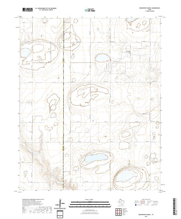
2022 Grandview School
Gray County, TX
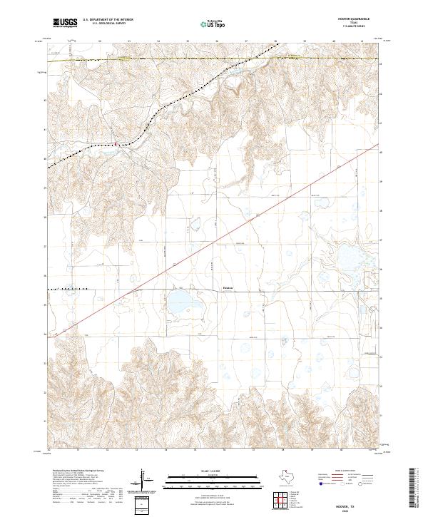
2022 Hoover
Gray County, TX
2022 Hudgens Ranch
Gray County, TX
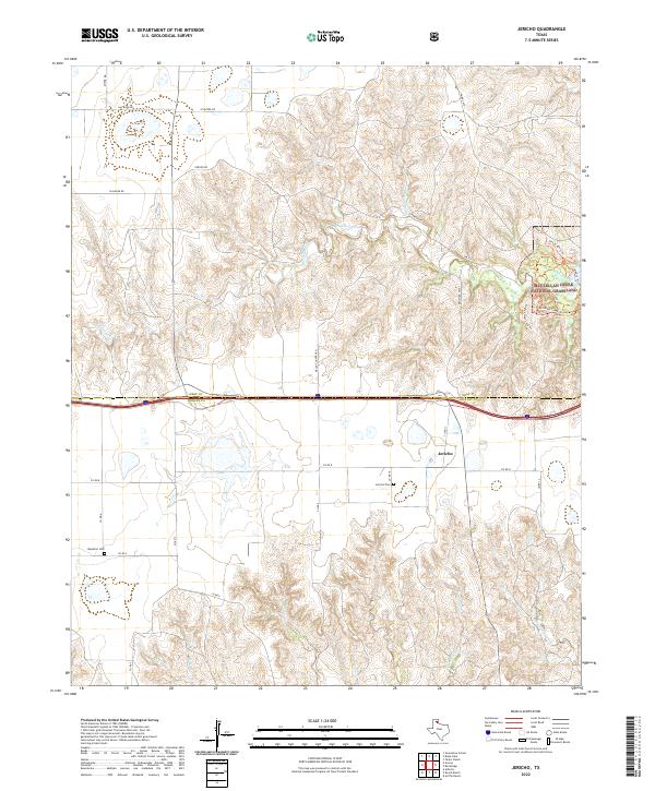
2022 Jericho
Gray County, TX
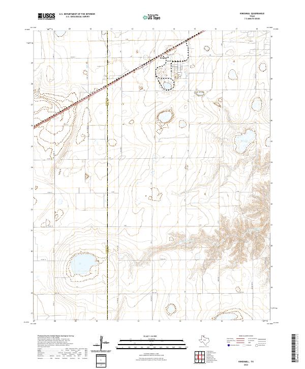
2022 Kingsmill
Gray County, TX
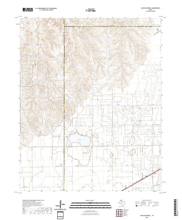
2022 Lake McConnell
Gray County, TX
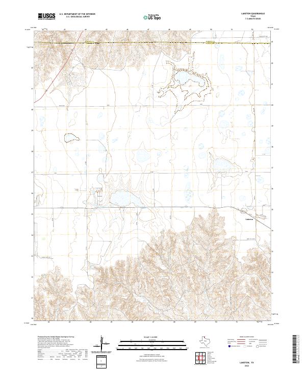
2022 Laketon
Gray County, TX
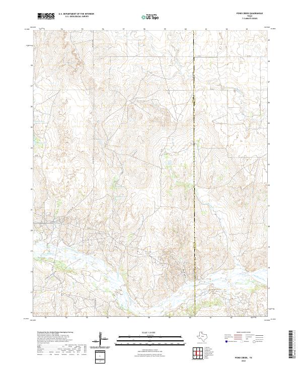
2022 Pond Creek
Gray County, TX
2022 Pond Creek NW
Gray County, TX
2022 Rockledge
Gray County, TX
2022 Taylor Ranch
Gray County, TX
2022 Totty School
Gray County, TX