Old Maps of Realitos, Texas for Genealogy
Trace your family roots with 8 historic maps of Realitos. These high-res maps reveal old neighborhoods, homesites, landmarks, and streets — helping you uncover where your ancestors lived and how the area evolved over time.
- Explore historic neighborhoods: Identify where your relatives may have lived in the 1800s or 1900s.
- Compare maps over time: Trace the changes in streets, buildings, and landmarks for multi-generational research.
- Perfect for genealogy & ancestry research: Used by family historians and researchers to map out lineage and migration.
These maps are an incredible resource for exploring your personal connection to Realitos's past.
Realitos, TX maps
(8)- 1956 Map of Laredo, 1960 Print
 1956 Laredo1960 Print · USGSSouth Texas in the mid-fifties reveals a landscape shaped by border commerce, military aviation, and a booming oil industry. Trace the historic Texas and Mexican RR line through Hebbronville or locate the sprawling Mirando City Oil Field and Laredo AFB.3 unique versions available
 - 1967 Map of Realitos, 1971 Print
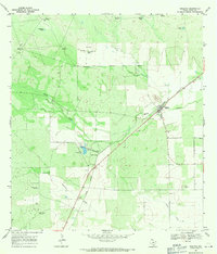 1967 Realitos1971 Print · USGSSouth Texas ranching and rail transport converge at the town of Realitos during the late sixties. Genealogists and local historians can locate family-named sites like Longora Windmill and Pila Blanca Windmill along the Texas Mexican line.2 unique versions available
 - 1985 Map of Falfurrias
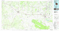 1985 Falfurrias1985 Print · USGSThe ranchlands of South Texas were an active hub for rail and petroleum at the height of the mid-eighties. Researchers can trace the path of the Texas Mexican RR through Hebbronville or locate the Thanksgiving Oil Field and Sejita crossroads.2 unique versions available
 - 2010 Map of Realitos, 2010 Print
 2010 Realitos2010 Print · USGSCovers Realitos, including Duval County, United States, and other nearby areas
 - 2013 Map of Realitos, 2013 Print
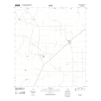
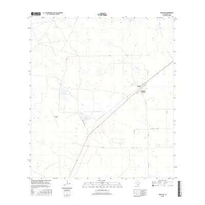
 2013 Realitos2013 Print · USGSCovers Realitos, including Duval County, United States, and other nearby areas
 - 2016 Map of Realitos, 2016 Print
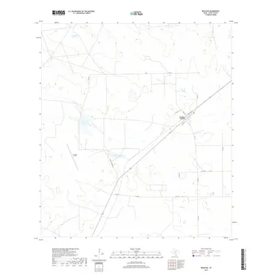
 2016 Realitos2016 Print · USGSCovers Realitos, including Duval County, United States, and other nearby areas
 - 2019 Map of Realitos, 2019 Print
 2019 Realitos2019 Print · USGSCovers Realitos, including Duval County, United States, and other nearby areas
 - 2022 Map of Realitos, 2022 Print
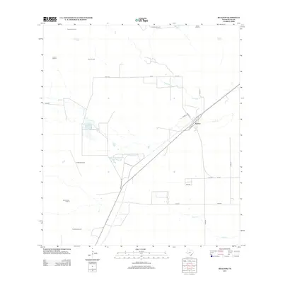
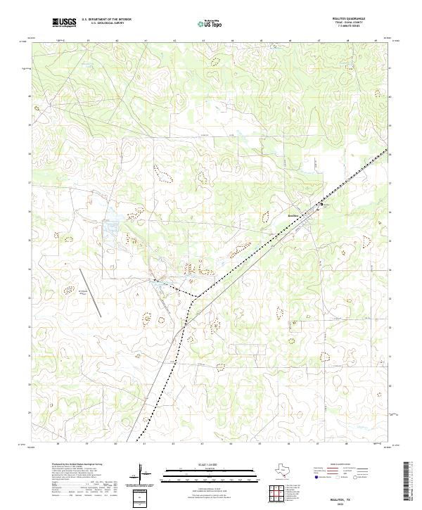 2022 Realitos2022 Print · USGSRealitos and the surrounding Duval County ranchlands are documented here in the early twenty-first century. Researchers can locate the Realitos Cem and trace local landmarks like O S Wyatt Airport and the Guaturche Tank.
End of results
Showing maps 1-8 of 8
Top cities near Realitos
Frequently asked questions
- What are the different types of historical maps available for Realitos?
- What is the oldest map of Realitos?
- Where can I purchase historical maps of Realitos for my home or office?
- Where can I download high-res historical maps of Realitos?
- Are there historical topographic maps available for Realitos?
- Is there historical aerial imagery available for Realitos?
- Where are historical maps of Realitos sourced from?