Old Maps of Flagg Ranch, Texas for Hiking & Exploration
Hike through history with 9 historic maps of Flagg Ranch. Explore old trails, ghost towns, and forgotten backroads — perfect for outdoor adventurers and local explorers.
- Rediscover forgotten places: Map out old mining camps, roads, and footpaths that no longer exist on modern maps.
- Layer with modern tools: Combine with LiDAR or satellite views to plan hikes through historical terrain.
- Made for exploration: Popular among hikers, overlanders, and local history lovers.
Use these maps to find adventure and explore the hidden past of Flagg Ranch.
Flagg Ranch, TX maps
(9)- 1954 Map of Hobbs, 1963 Print
 1954 Hobbs1963 Print · USGSThe High Plains and Permian Basin transition is captured here at the height of the mid-century energy boom. Genealogists and industrial historians can trace the foundations of Humble City, locate the Potash Mine and Plant, and follow the Texas-New Mexico RR.2 unique versions available
 - 1958 Map of Hobbs
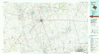
 1958 Hobbs1958 Print · USGSThe High Plains of the Texas-New Mexico border are shown here during the height of the mid-century oil boom. Genealogists and historians can trace the development of Hobbs, Lovington, and Jal, alongside ranching landmarks like James Ranch and the early Texas-New Mexico Railway.
 - 1971 Map of Bedford Ranch, 1974 Print
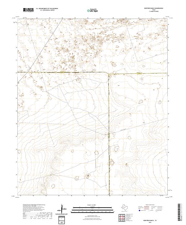
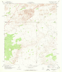 1971 Bedford Ranch1974 Print · USGSWinkler and Andrews counties come alive in the early seventies, where the cattle-ranching West meets the industrial Permian Basin. Trace the landscape of the Goldsmith Oil Field and And Ector Oil Field alongside local landmarks like Bedford Ranch and the Green Gate Windmill.
 - 1991 Map of Andrews, 1992 Print
 1991 Andrews1992 Print · USGSThe West Texas oil country comes into sharp focus in the early nineties, centered on the energy hub of Andrews. Researchers can trace the sprawling infrastructure of the Mabee Oil Field and Goldsmith Oil Field alongside Shafter Lake.
 - 2010 Map of Bedford Ranch, 2010 Print
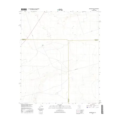
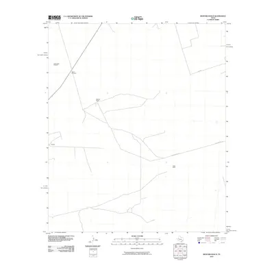 2010 Bedford Ranch2010 Print · USGSCovers Flagg Ranch, including Ector County, Andrews County, and other nearby areas
 - 2012 Map of Bedford Ranch, 2012 Print
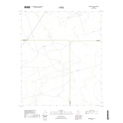
 2012 Bedford Ranch2012 Print · USGSCovers Flagg Ranch, including Ector County, Andrews County, and other nearby areas
 - 2016 Map of Bedford Ranch, 2016 Print
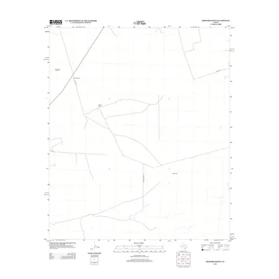
 2016 Bedford Ranch2016 Print · USGSCovers Flagg Ranch, including Ector County, Andrews County, and other nearby areas
 - 2019 Map of Bedford Ranch, 2019 Print
 2019 Bedford Ranch2019 Print · USGSCovers Flagg Ranch, including Ector County, Andrews County, and other nearby areas
 - 2022 Map of Bedford Ranch, 2022 Print
 2022 Bedford Ranch2022 Print · USGSIn the heart of the Permian Basin during the early twenty-first century, this survey tracks the intersection of three West Texas counties. Researchers can trace the modern industrial and ranching landscape along Sheep Pasture Rd and SW 8201.
End of results
Showing maps 1-9 of 9
Top cities near Flagg Ranch
Frequently asked questions
- What are the different types of historical maps available for Flagg Ranch?
- What is the oldest map of Flagg Ranch?
- Where can I purchase historical maps of Flagg Ranch for my home or office?
- Where can I download high-res historical maps of Flagg Ranch?
- Are there historical topographic maps available for Flagg Ranch?
- Is there historical aerial imagery available for Flagg Ranch?
- Where are historical maps of Flagg Ranch sourced from?