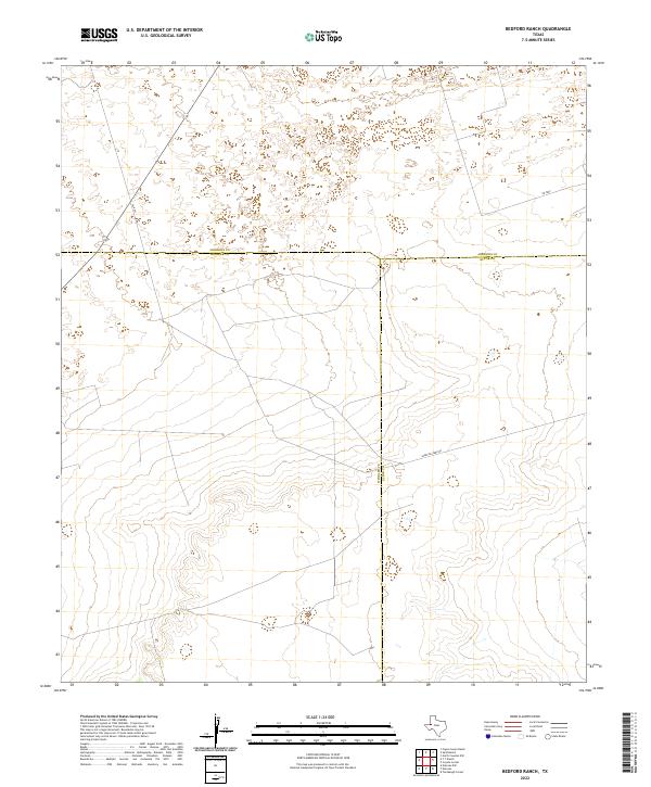
2022 Map of Bedford Ranch
USGS Topo · Published 2022About this map
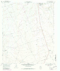
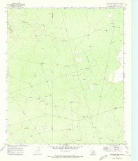
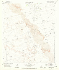
The high plains of West Texas meet at the triple point of three counties in this 2022 survey. This map highlights the meeting of Andrews, Ector, and Winkler counties, a landscape defined by industrial and ranch access roads. The network of local routes, including Sheep Pasture Rd, SW 8201, and SW 7000, illustrates the modern utility of this Permian Basin terrain. While the landscape is sparsely named, the precise delineation of county boundaries and the alignment of these thoroughfares reflect the region's historical and ongoing importance to the Texas energy and cattle industries.
Find a feature on this map
6 named features on this map. Tap any name to fly to it.
Don’t see what you’re looking for? This feature index may not catch every label — zoom into the map to look around manually.
Map Details
Editions of this 2022 Bedford Ranch Map
This is the sole edition of this map. No revisions or reprints were ever made.
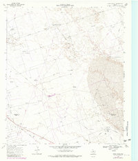
Historical Maps of Flagg Ranch Through Time
34 maps found
1968 China Ranch
Winkler County, TX
1968 Cowden Place
Winkler County, TX
1968 Soda Lake NE
Winkler County, TX
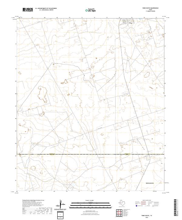
1968 Wink South
Winkler County, TX
1969 Jal SE
Winkler County, TX
1969 Pyote NE
Winkler County, TX
1970 Cheyenne Draw SE
Winkler County, TX
1970 Cheyenne Draw
Winkler County, TX
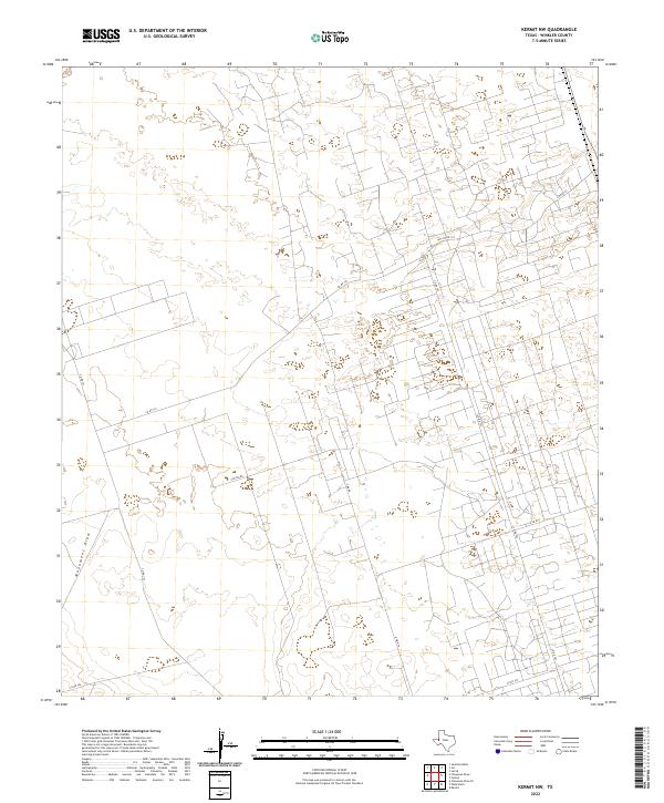
1970 Kermit NW
Winkler County, TX
1970 Vesrue
Winkler County, TX
1970 Wink North
Winkler County, TX
1971 Amburgey Ranch
Winkler County, TX
1971 Bedford Ranch
Winkler County, TX
1971 Notrees NW
Winkler County, TX
1971 Notrees
Winkler County, TX
1971 Wheeler Ranch
Winkler County, TX
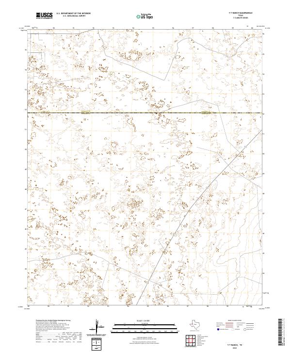
1971 Y T Ranch
Winkler County, TX
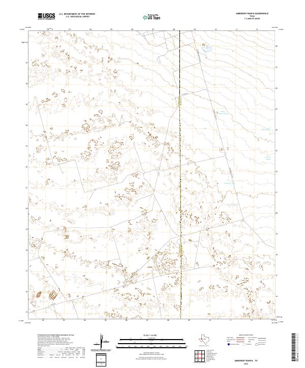
2022 Amburgey Ranch
Winkler County, TX
2022 Bedford Ranch
Winkler County, TX
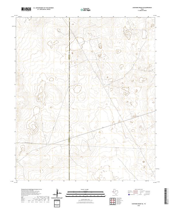
2022 Cheyenne Draw SE
Winkler County, TX
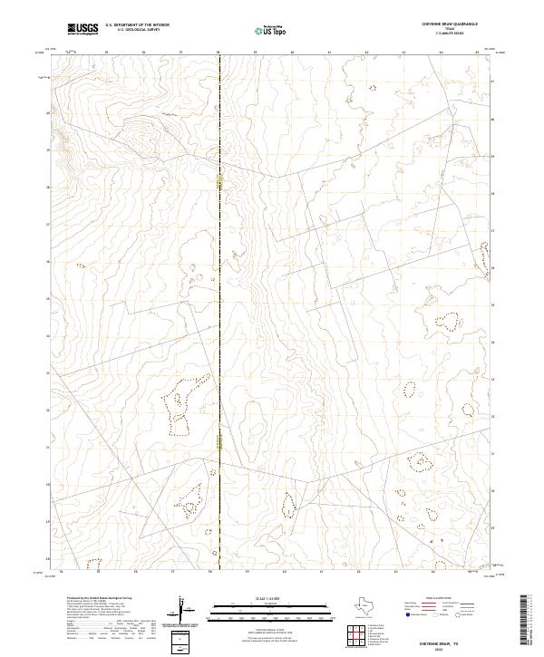
2022 Cheyenne Draw
Winkler County, TX
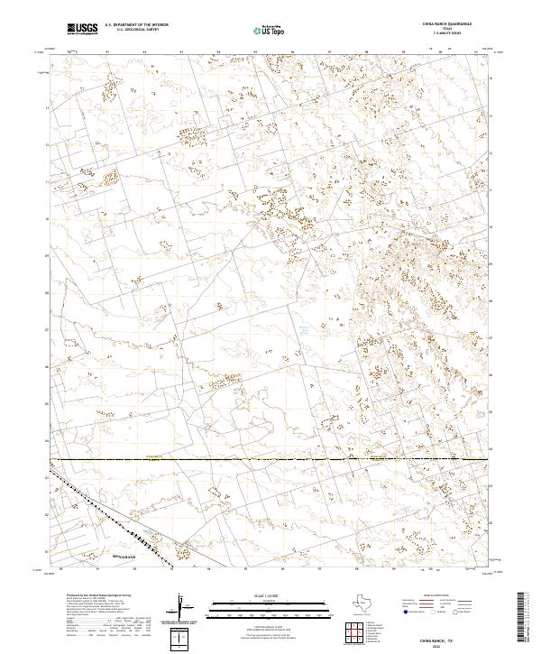
2022 China Ranch
Winkler County, TX
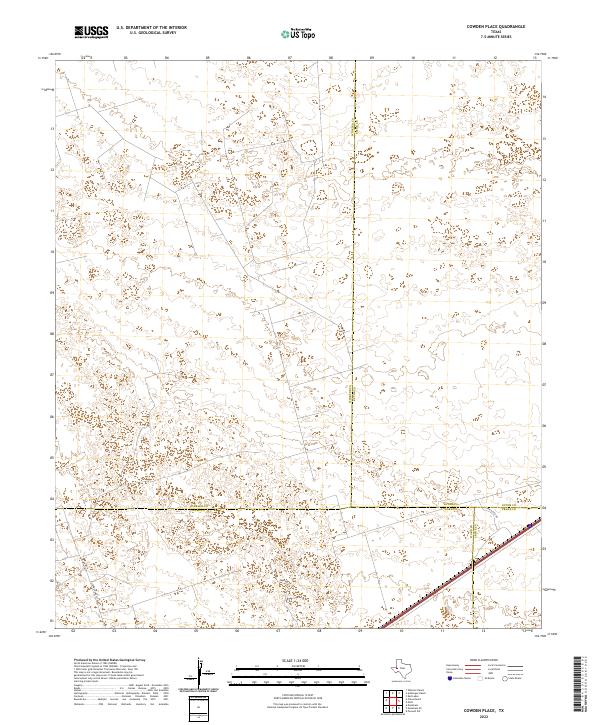
2022 Cowden Place
Winkler County, TX
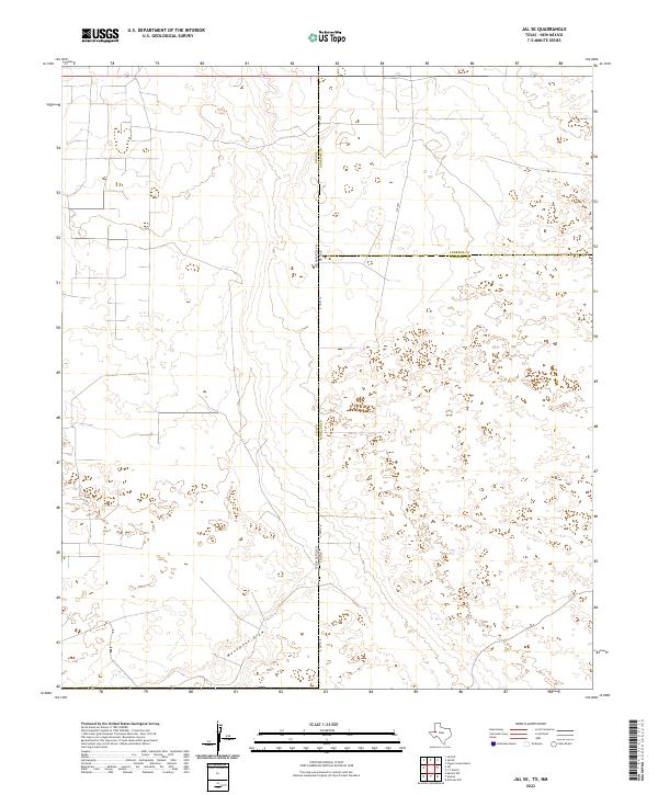
2022 Jal SE
Winkler County, TX
2022 Kermit NW
Winkler County, TX
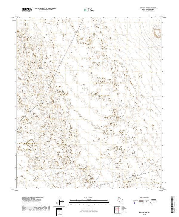
2022 Notrees NW
Winkler County, TX
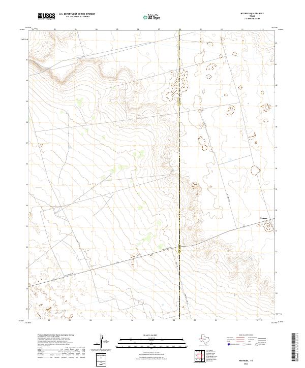
2022 Notrees
Winkler County, TX
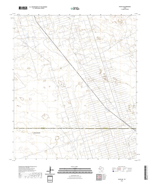
2022 Pyote NE
Winkler County, TX
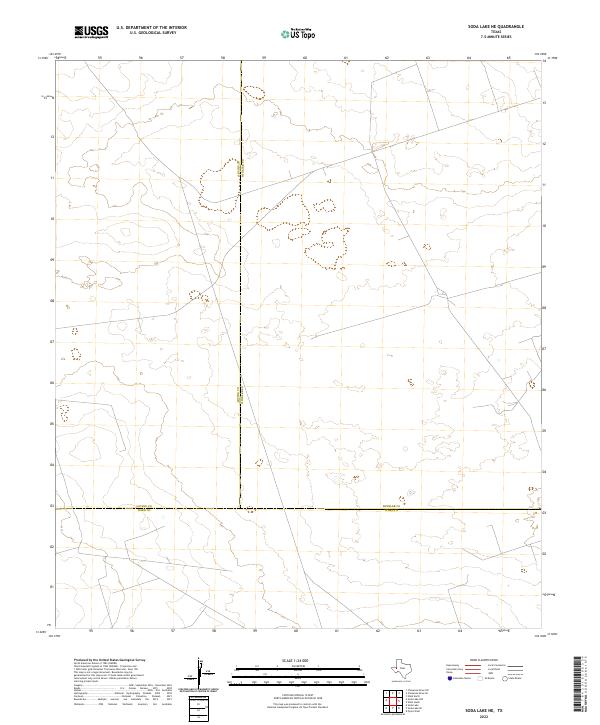
2022 Soda Lake NE
Winkler County, TX
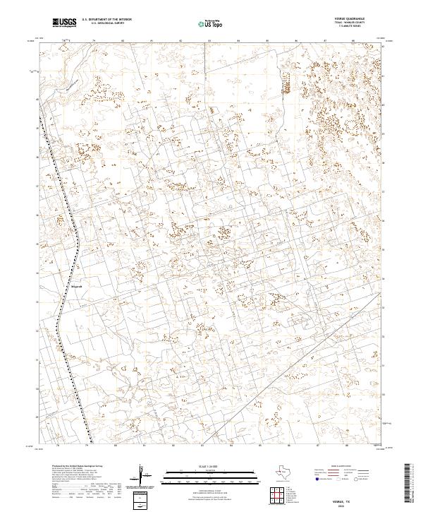
2022 Vesrue
Winkler County, TX
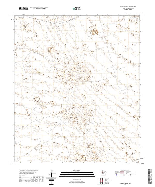
2022 Wheeler Ranch
Winkler County, TX
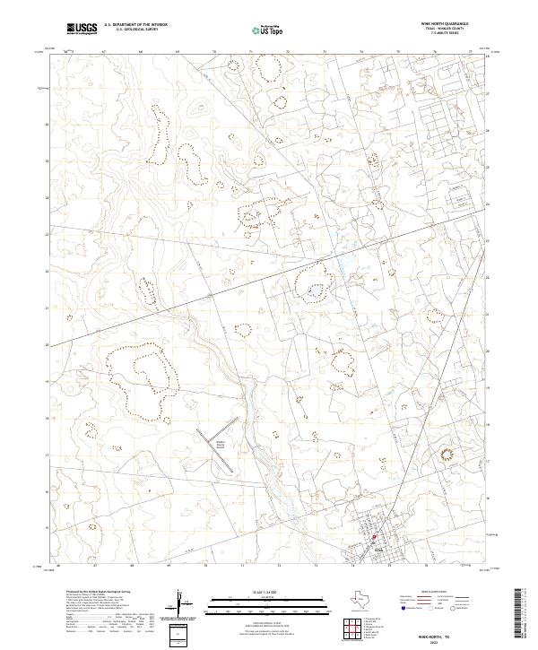
2022 Wink North
Winkler County, TX
2022 Wink South
Winkler County, TX
2022 Y T Ranch
Winkler County, TX