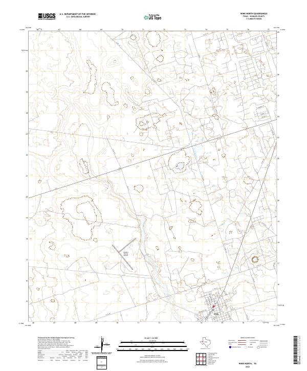
2022 Map of Wink North
USGS Topo · Published 2022About this map
Wink anchors the southern portion of this West Texas landscape, revealing a community deeply intertwined with the Permian Basin's industrial and transportation infrastructure. The town's grid is characterized by street names like N Monahans Dr and N Pyote Ave, alongside the culturally significant Ray Orbison Dr. North of the residential center, the Winkler County Airport serves as a prominent landmark in an otherwise sparse desert terrain.
Find a feature on this map
31 named features on this map. Tap any name to fly to it.
Don’t see what you’re looking for? This feature index may not catch every label — zoom into the map to look around manually.
Map Details
Editions of this 2022 Wink North Map
This is the sole edition of this map. No revisions or reprints were ever made.
Other maps of this area

1954 · Pecos
USGS Topo · 1:250,000

1957 · Pecos
USGS Topo · 1:250,000

1968 · Wink South
USGS Topo · 1:24,000

1968 · Soda Lake NE
USGS Topo · 1:24,000

1969 · Pyote NE
USGS Topo · 1:24,000

1970 · Cheyenne Draw
USGS Topo · 1:24,000

1970 · Wink North
USGS Topo · 1:24,000

1970 · Cheyenne Draw SE
USGS Topo · 1:24,000

1970 · Vesrue
USGS Topo · 1:24,000

1970 · Kermit NW
USGS Topo · 1:24,000