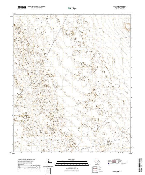
2022 Map of Notrees NW
USGS Topo · Published 2022About this map
Kermit Sand Hills dominate this portion of Winkler County, showcasing a landscape shaped by shifting dunes and desert terrain. This modern survey, compiled from Usgs data and high-resolution imagery, highlights the sparse transportation network necessary to navigate this arid environment. The primary arterial routes consist of Jim Sharp Blvd and N Fm 874, which cut through the sandy expanses. These roads represent the primary human imprint on an otherwise natural landscape, reflecting the isolation and specialized land use common in the Trans-Pecos region of West Texas. Researchers and surveyors can use these specific roadway alignments and terrain markers to coordinate field data within this distinct geological province.
Find a feature on this map
3 named features on this map. Tap any name to fly to it.
Don’t see what you’re looking for? This feature index may not catch every label — zoom into the map to look around manually.
Map Details
Editions of this 2022 Notrees NW Map
This is the sole edition of this map. No revisions or reprints were ever made.
Other maps of this area

1954 · Hobbs
USGS Topo · 1:250,000

1954 · Pecos
USGS Topo · 1:250,000

1957 · Pecos
USGS Topo · 1:250,000

1958 · Hobbs
USGS Topo · 1:250,000

1969 · Jal SE
USGS Topo · 1:24,000

1970 · Vesrue
USGS Topo · 1:24,000

1970 · Kermit
USGS Topo · 1:24,000

1971 · Notrees
USGS Topo · 1:24,000

1971 · Notrees NW
USGS Topo · 1:24,000

1971 · Bedford Ranch
USGS Topo · 1:24,000