
1971 Map of Notrees
USGS Topo · Published 1974About this map
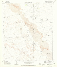
Industrial infrastructure and the natural movement of the West Texas landscape dominate this early 1970s survey. The small settlement of Notrees sits at the eastern edge of the quadrangle, serving as a hub for the surrounding energy sector. The map reveals an extensive network of mineral extraction and transport, notably within the T X L Oil Field and the Wheeler Oil Field. A complex system of pipelines, including a dedicated Aqueduct Pipeline, crisscrosses the terrain, indicating the intensive water and resource management required for these operations.
Find a feature on this map
16 named features on this map. Tap any name to fly to it.
Don’t see what you’re looking for? This feature index may not catch every label — zoom into the map to look around manually.
Map Details
Editions of this 1971 Notrees Map
This is the sole edition of this map. No revisions or reprints were ever made.
Other maps of this area

1954 · Hobbs
USGS Topo · 1:250,000

1954 · Pecos
USGS Topo · 1:250,000

1957 · Pecos
USGS Topo · 1:250,000

1958 · Hobbs
USGS Topo · 1:250,000

1964 · Turnbaugh Corner
USGS Topo · 1:24,000

1964 · Red Lakes
USGS Topo · 1:24,000

1968 · Coyote Corner
USGS Topo · 1:24,000

1971 · Notrees NW
USGS Topo · 1:24,000

1971 · Bedford Ranch
USGS Topo · 1:24,000
1971 · Amburgey Ranch
USGS Topo · 1:24,000