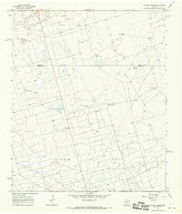
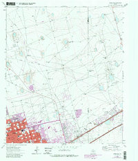
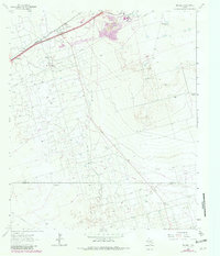
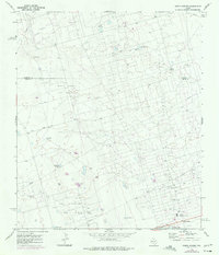
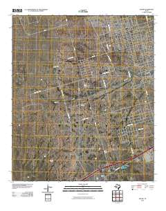
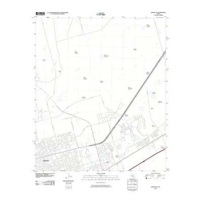
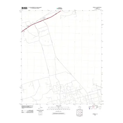
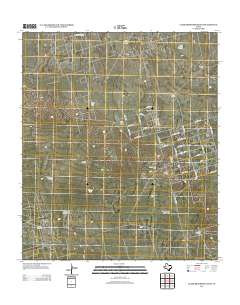
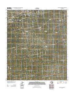
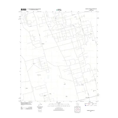
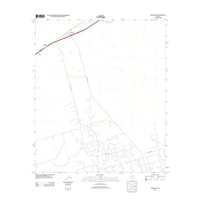
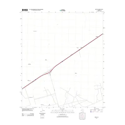
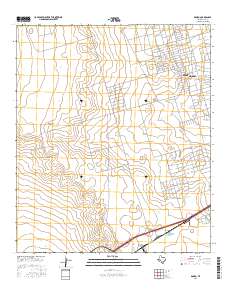
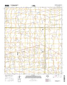
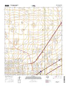
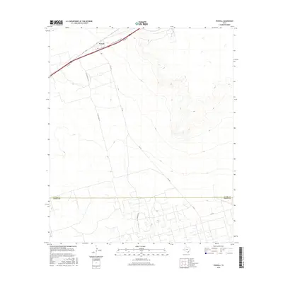
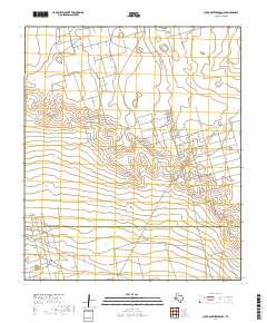
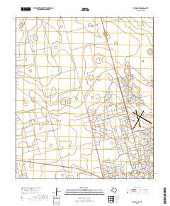
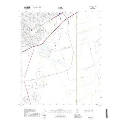
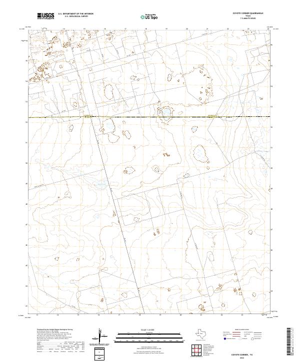
1968 Map of Coyote Corner
USGS Topo · Published 1970About this map
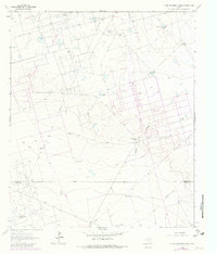
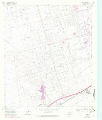
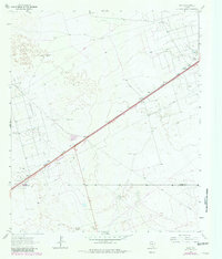
Embar Oil Field and the Goldsmith Oil Field dominate this West Texas landscape, illustrating the intensive industrial development across the Andrews Co Ector Co line during the late 1960s. The map reveals a dense grid of pipelines and service roads supporting the petroleum economy, punctuated by specialized landmarks like a Pumping Sta and various Gravel Pits.
Find a feature on this map
23 named features on this map. Tap any name to fly to it.
Don’t see what you’re looking for? This feature index may not catch every label — zoom into the map to look around manually.
Map Details
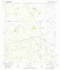
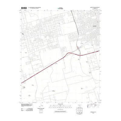
Editions of this 1968 Coyote Corner Map
This is the sole edition of this map. No revisions or reprints were ever made.
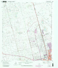
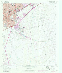
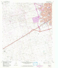
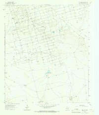
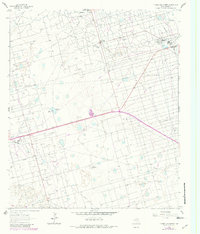
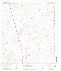
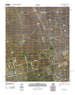
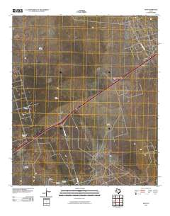
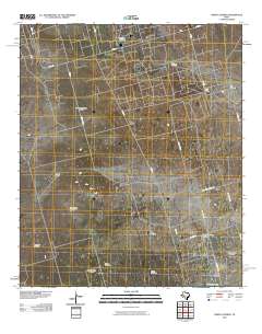
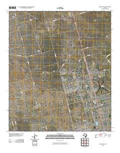
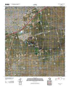
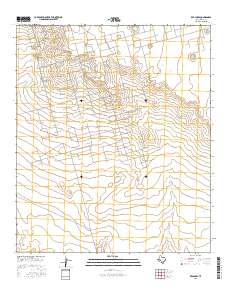
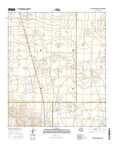
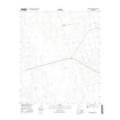
Historical Maps of Embar Ranch Through Time
84 maps found
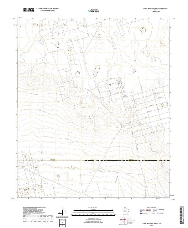
1964 Clark Brothers Ranch
Ector County, TX
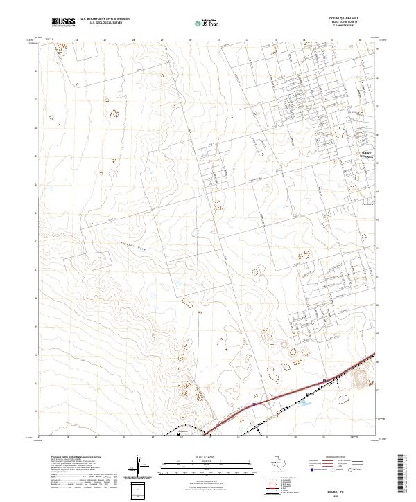
1964 Douro
Ector County, TX
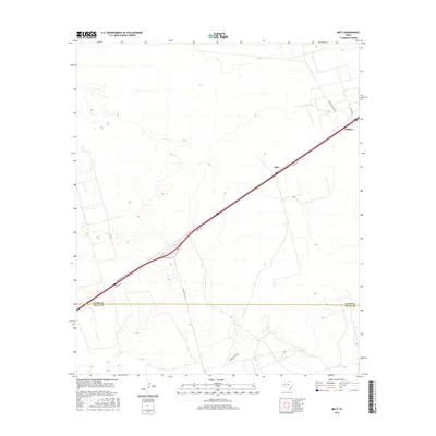
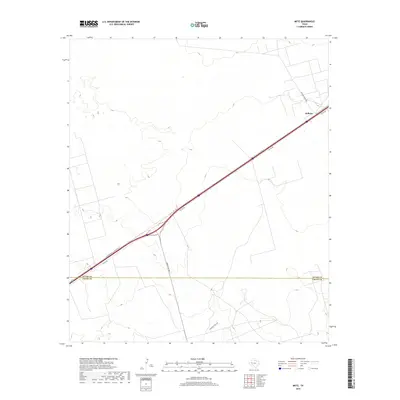
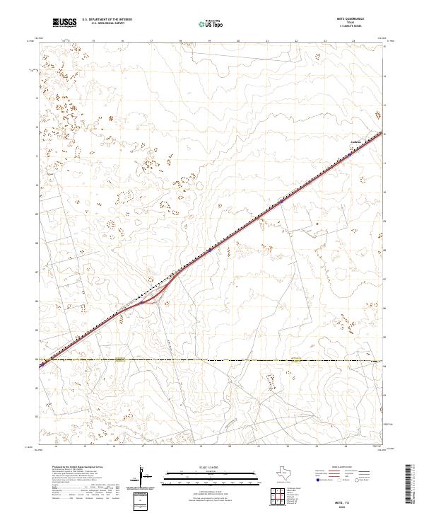
1964 Metz
Ector County, TX
1964 Odessa NE
Ector County, TX
1964 Odessa NW
Ector County, TX
1964 Odessa SE
Ector County, TX
1964 Odessa SW
Ector County, TX
1964 Penwell
Ector County, TX
1964 Red Lakes
Ector County, TX
1964 Turnbaugh Corner
Ector County, TX
1965 South Cowden Ranch
Ector County, TX
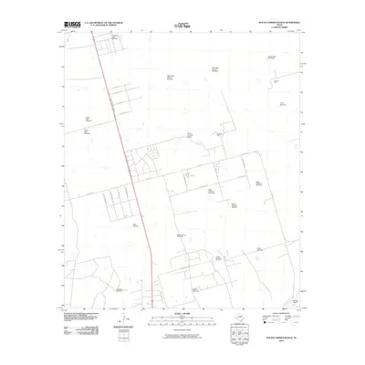
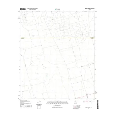
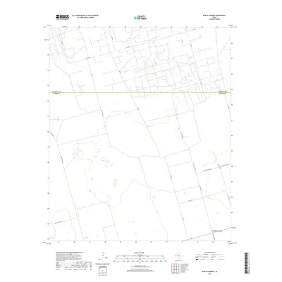
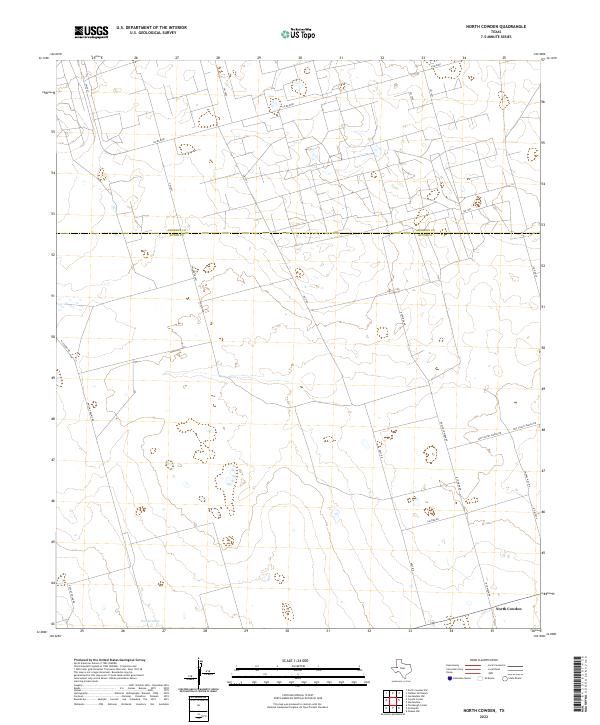
1967 North Cowden
Ector County, TX
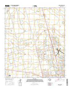
1968 Coyote Corner
Ector County, TX
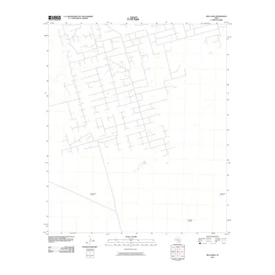
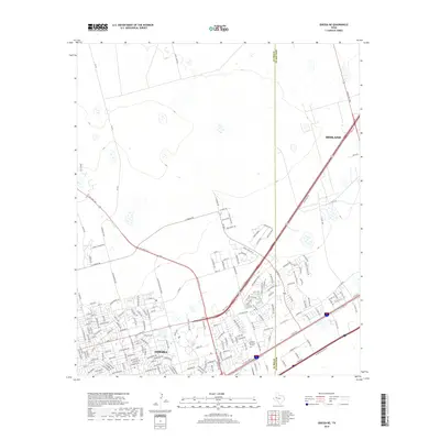
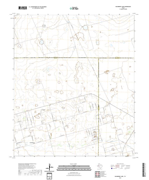
1968 Hackberry Lake
Ector County, TX
2010 Clark Brothers Ranch
Ector County, TX
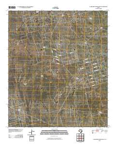
2010 Coyote Corner
Ector County, TX
2010 Douro
Ector County, TX
2010 Hackberry Lake
Ector County, TX
2010 Metz
Ector County, TX
2010 North Cowden
Ector County, TX
2010 Odessa NE
Ector County, TX
2010 Odessa NW
Ector County, TX
2010 Odessa SE
Ector County, TX
2010 Odessa SW
Ector County, TX
2010 Penwell
Ector County, TX
2010 Red Lakes
Ector County, TX
2010 South Cowden Ranch
Ector County, TX
2010 Turnbaugh Corner
Ector County, TX
2012 Clark Brothers Ranch
Ector County, TX
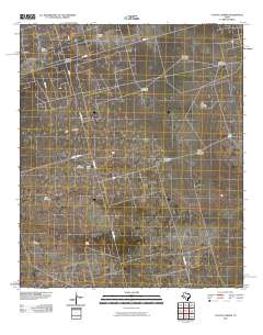
2012 Coyote Corner
Ector County, TX
2012 Douro
Ector County, TX
2012 Hackberry Lake
Ector County, TX
2012 North Cowden
Ector County, TX
2012 Odessa NE
Ector County, TX
2012 Odessa SE
Ector County, TX
2012 Odessa SW
Ector County, TX
2012 Penwell
Ector County, TX
2012 Red Lakes
Ector County, TX
2012 South Cowden Ranch
Ector County, TX
2012 Turnbaugh Corner
Ector County, TX
2013 Metz
Ector County, TX
2013 Odessa NW
Ector County, TX
2016 Clark Brothers Ranch
Ector County, TX
2016 Coyote Corner
Ector County, TX
2016 Douro
Ector County, TX
2016 Hackberry Lake
Ector County, TX
2016 Metz
Ector County, TX
2016 North Cowden
Ector County, TX
2016 Odessa NE
Ector County, TX
2016 Odessa NW
Ector County, TX
2016 Odessa SE
Ector County, TX
2016 Odessa SW
Ector County, TX
2016 Penwell
Ector County, TX
2016 Red Lakes
Ector County, TX
2016 South Cowden Ranch
Ector County, TX
2016 Turnbaugh Corner
Ector County, TX
2019 Clark Brothers Ranch
Ector County, TX
2019 Coyote Corner
Ector County, TX
2019 Douro
Ector County, TX
2019 Hackberry Lake
Ector County, TX
2019 Metz
Ector County, TX
2019 North Cowden
Ector County, TX
2019 Odessa NE
Ector County, TX
2019 Odessa NW
Ector County, TX
2019 Odessa SE
Ector County, TX
2019 Odessa SW
Ector County, TX
2019 Penwell
Ector County, TX
2019 Red Lakes
Ector County, TX
2019 South Cowden Ranch
Ector County, TX
2019 Turnbaugh Corner
Ector County, TX
2022 Clark Brothers Ranch
Ector County, TX
2022 Coyote Corner
Ector County, TX
2022 Douro
Ector County, TX
2022 Hackberry Lake
Ector County, TX
2022 Metz
Ector County, TX
2022 North Cowden
Ector County, TX
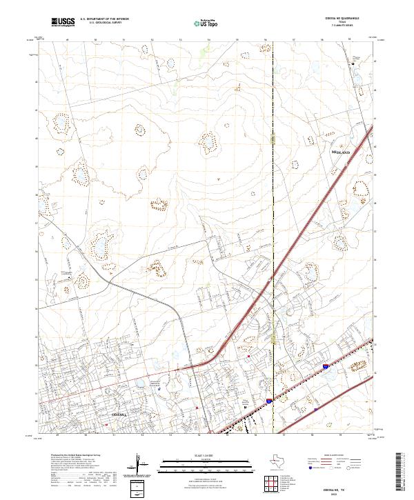
2022 Odessa NE
Ector County, TX
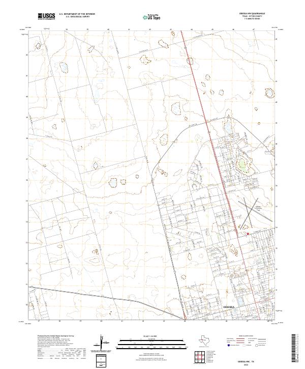
2022 Odessa NW
Ector County, TX

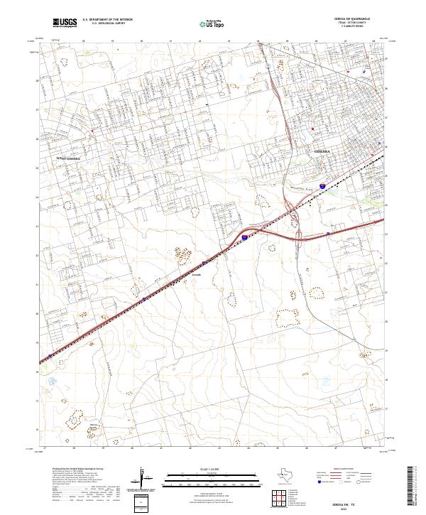
2022 Odessa SE
Ector County, TX
2022 Odessa SW
Ector County, TX
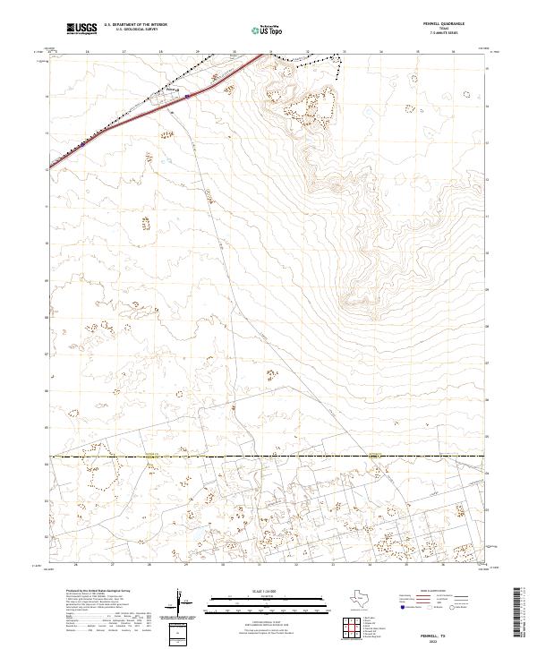
2022 Penwell
Ector County, TX
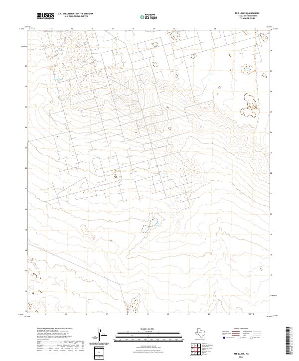
2022 Red Lakes
Ector County, TX
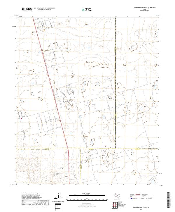
2022 South Cowden Ranch
Ector County, TX
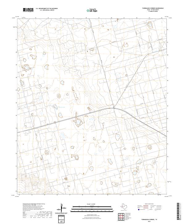
2022 Turnbaugh Corner
Ector County, TX