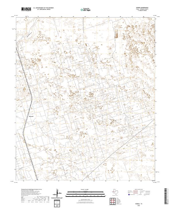
2022 Map of Vesrue
USGS Topo · Published 2022About this map
The West Texas desert of Winkler County is defined here by an intricate grid of industrial and ranch roads that dominate the landscape. Magwalt stands as a focal point in the southwestern corner, situated along a primary transportation corridor that includes Walton Ranch Rd and State Route 18. This modern survey illustrates the intensive land use typical of the Permian Basin, where the natural terrain of Monument Draw is overlaid by a dense network of local routes like Co Rd 301 and N FM 1218. The high frequency of unimproved roads and numbered county routes reflects the region's long-standing connection to resource extraction and cattle ranching, providing a clear map of the infrastructure supporting these industries in the early twenty-first century.
Find a feature on this map
10 named features on this map. Tap any name to fly to it.
Don’t see what you’re looking for? This feature index may not catch every label — zoom into the map to look around manually.
Map Details
Editions of this 2022 Vesrue Map
This is the sole edition of this map. No revisions or reprints were ever made.
Other maps of this area

1954 · Hobbs
USGS Topo · 1:250,000

1954 · Pecos
USGS Topo · 1:250,000

1957 · Pecos
USGS Topo · 1:250,000

1958 · Hobbs
USGS Topo · 1:250,000

1969 · Jal
USGS Topo · 1:24,000

1969 · Jal SE
USGS Topo · 1:24,000

1970 · Wink North
USGS Topo · 1:24,000

1970 · Vesrue
USGS Topo · 1:24,000

1970 · Kermit NW
USGS Topo · 1:24,000

1970 · Kermit
USGS Topo · 1:24,000