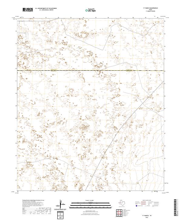
2022 Map of Y T Ranch
USGS Topo · Published 2022About this map
The county line between Andrews Co and Winkler Co bisects this West Texas landscape, an area characterized by its open, unpopulated expanse near the northern edge of the Permian Basin. This survey illustrates the sparse infrastructure and remote character of the region, where the terrain is dominated by natural depressions and shifting elevations rather than established settlements. The few maintained roads and local connectors shown provide the primary framework for movement across these semi-arid lands, which historically have been defined by ranching and resource extraction. The map is a testament to the quiet, undeveloped stretches of the high plains, offering a precise record of the administrative boundary as it divides two distinct West Texas counties.
Find a feature on this map
1 named feature on this map. Tap any name to fly to it.
Don’t see what you’re looking for? This feature index may not catch every label — zoom into the map to look around manually.
Map Details
Editions of this 2022 Y T Ranch Map
This is the sole edition of this map. No revisions or reprints were ever made.
Other maps of this area

1954 · Hobbs
USGS Topo · 1:250,000

1954 · Pecos
USGS Topo · 1:250,000

1957 · Pecos
USGS Topo · 1:250,000

1958 · Hobbs
USGS Topo · 1:250,000

1969 · Jal NE
USGS Topo · 1:24,000

1969 · Jal SE
USGS Topo · 1:24,000

1970 · Vesrue
USGS Topo · 1:24,000

1971 · Notrees
USGS Topo · 1:24,000

1971 · Notrees NW
USGS Topo · 1:24,000

1971 · Figure Seven Ranch
USGS Topo · 1:24,000