Old Maps of West Odessa, Texas for Genealogy
Trace your family roots with 27 historic maps of West Odessa. These high-res maps reveal old neighborhoods, homesites, landmarks, and streets — helping you uncover where your ancestors lived and how the area evolved over time.
- Explore historic neighborhoods: Identify where your relatives may have lived in the 1800s or 1900s.
- Compare maps over time: Trace the changes in streets, buildings, and landmarks for multi-generational research.
- Perfect for genealogy & ancestry research: Used by family historians and researchers to map out lineage and migration.
These maps are an incredible resource for exploring your personal connection to West Odessa's past.
West Odessa, TX maps
(27)- 1954 Map of Pecos, 1964 Print
 1954 Pecos1964 Print · USGSMid-century West Texas reveals a landscape of expanding oil fields and cattle ranching along the winding Pecos River. Local historians can trace family ranch lands like Goodrich Ranch, follow the Texas and Pacific rails, or locate the historic Horsehead Crossing.3 unique versions available
 - 1957 Map of Pecos
 1957 Pecos1957 Print · USGSWest Texas in the mid-fifties is a landscape of desert oil fields and vital rail corridors. Researchers can trace the sprawling Pyote Air Force Base, the historic Horsehead Crossing, and the rail stops at Mentone and Saragosa.
 - 1964 Map of Odessa SW, 1966 Print
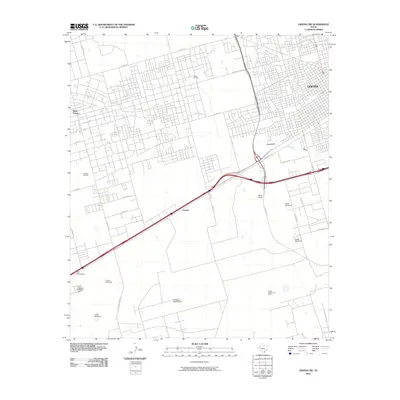
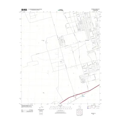
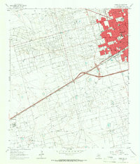 1964 Odessa SW1966 Print · USGSOdessa's midcentury expansion meets the booming oil fields of the Permian Basin in the 1960s. Genealogists and historians can trace the development of local neighborhoods through Odessa College, the Odessa Meteor Crater, and the industrial Carbon Black Plant.4 unique versions available
 - 1964 Map of Odessa NW, 1966 Print
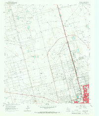 1964 Odessa NW1966 Print · USGSOdessa pushes into the Permian Basin during the mid-sixties oil boom, transforming the arid landscape into an industrial and suburban hub. Genealogists and historians can trace the growth of neighborhoods like Greenfield Acres or locate local landmarks including Goliad Sch and the Drive-in Theater.4 unique versions available
 - 1964 Map of Douro, 1967 Print
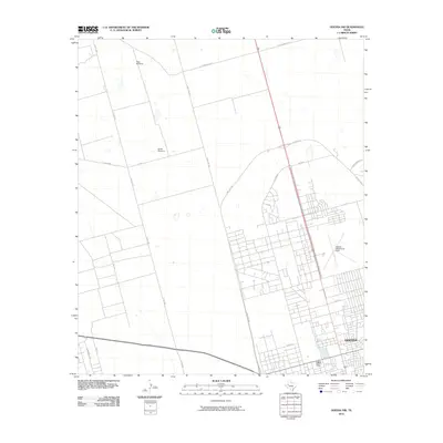
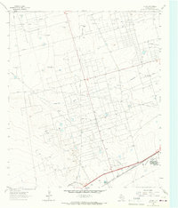 1964 Douro1967 Print · USGSEctor County oil country is shown in the 1960s as a complex network of extraction and rail transport. Genealogists and historians can trace Old Buchanan Ranch (Headquarters) and industrial sites like the Carbon Black Plant near Douro.3 unique versions available
 - 1965 Map of Goldsmith, 1967 Print
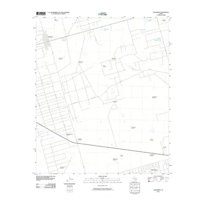
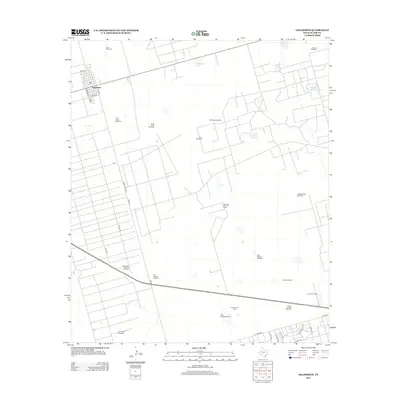
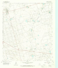 1965 Goldsmith1967 Print · USGSGoldsmith and the surrounding Ector County oil patches are shown at their mid-century peak during this 1960s survey. Researchers can trace the industrial landscape of the Goldsmith Oil Field and North Cowden Oil Field alongside local landmarks like Oil Camp and James Lake.3 unique versions available
 - 1986 Map of Odessa
 1986 Odessa1986 Print · USGSThe Permian Basin’s oil-driven landscape is revealed in the mid-eighties, showing the sprawl of Odessa and Midland. Trace the growth of energy infrastructure at the South Cowden Oil Field or explore the unique Sand Dunes of Monahans Sand Hills State Park.2 unique versions available
 - 2010 Map of Goldsmith, 2010 Print
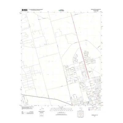
 2010 Goldsmith2010 Print · USGSCovers West Odessa, including Goldsmith, Ector County, and other nearby areas
 - 2010 Map of Odessa SW, 2010 Print
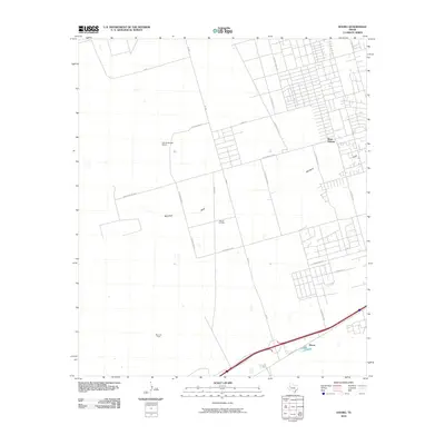
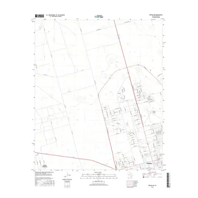
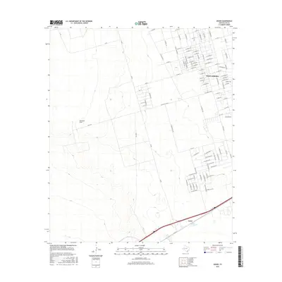
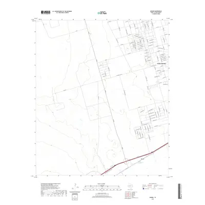
 2010 Odessa SW2010 Print · USGSCovers West Odessa, including Odessa, Moss Ranch, and other nearby areas
 - 2010 Map of Odessa NW, 2010 Print
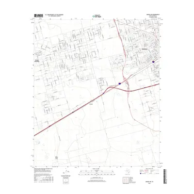
 2010 Odessa NW2010 Print · USGSCovers West Odessa, including Odessa, Black Gold District, and other nearby areas
 - 2010 Map of Douro, 2010 Print
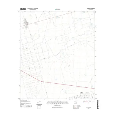
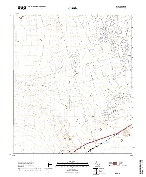
 2010 Douro2010 Print · USGSCovers West Odessa, including Caprach, Old Buchanan Ranch, and other nearby areas
 - 2012 Map of Douro, 2012 Print
 2012 Douro2012 Print · USGSCovers West Odessa, including Caprach, Old Buchanan Ranch, and other nearby areas
 - 2012 Map of Goldsmith, 2012 Print
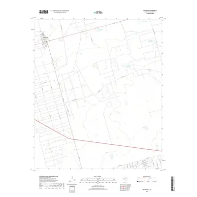
 2012 Goldsmith2012 Print · USGSCovers West Odessa, including Goldsmith, Ector County, and other nearby areas
 - 2012 Map of Odessa SW, 2012 Print
 2012 Odessa SW2012 Print · USGSCovers West Odessa, including Odessa, Moss Ranch, and other nearby areas
 - 2013 Map of Odessa NW, 2013 Print
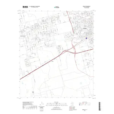
 2013 Odessa NW2013 Print · USGSCovers West Odessa, including Odessa, Black Gold District, and other nearby areas
 - 2016 Map of Odessa NW, 2016 Print
 2016 Odessa NW2016 Print · USGSCovers West Odessa, including Odessa, Black Gold District, and other nearby areas
 - 2016 Map of Goldsmith, 2016 Print
 2016 Goldsmith2016 Print · USGSCovers West Odessa, including Goldsmith, Ector County, and other nearby areas
 - 2016 Map of Odessa SW, 2016 Print
 2016 Odessa SW2016 Print · USGSCovers West Odessa, including Odessa, Moss Ranch, and other nearby areas
 - 2016 Map of Douro, 2016 Print
 2016 Douro2016 Print · USGSCovers West Odessa, including Caprach, Old Buchanan Ranch, and other nearby areas
 - 2019 Map of Odessa SW, 2019 Print
 2019 Odessa SW2019 Print · USGSCovers West Odessa, including Odessa, Moss Ranch, and other nearby areas
 - 2019 Map of Goldsmith, 2019 Print
 2019 Goldsmith2019 Print · USGSCovers West Odessa, including Goldsmith, Ector County, and other nearby areas
 - 2019 Map of Douro, 2019 Print
 2019 Douro2019 Print · USGSCovers West Odessa, including Caprach, Old Buchanan Ranch, and other nearby areas
 - 2019 Map of Odessa NW, 2019 Print
 2019 Odessa NW2019 Print · USGSCovers West Odessa, including Odessa, Black Gold District, and other nearby areas
 - 2022 Map of Odessa NW, 2022 Print
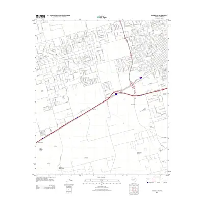
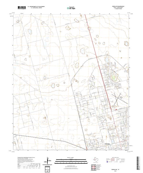 2022 Odessa NW2022 Print · USGSThe northwestern outskirts of Odessa show a landscape in transition during the early 2020s, where new residential blocks meet established Texas ranch land. Researchers can trace the modern suburban grid against older landmarks like Odessa-Schlemeyer Field and Chesnut Playa.
 - 2022 Map of Douro, 2022 Print
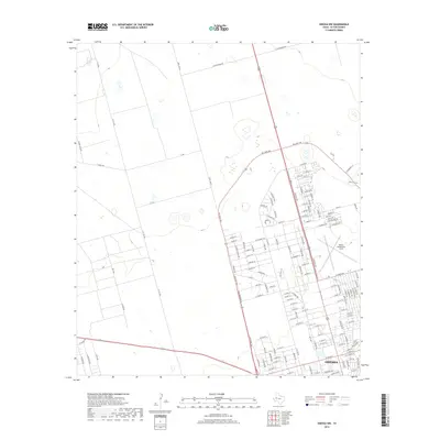
 2022 Douro2022 Print · USGSWest Odessa and the surrounding West Texas plains are captured here in a moment of continued residential and industrial expansion. Genealogists and local historians can locate Rhodes Cem or trace the early settlement at Douro near the banks of Monahans Draw.
Showing maps 1-25 of 27
Top cities near West Odessa
Top neighborhoods of West Odessa
- Cowden Oil Field historical maps
- West Odessa historical maps
- Ava Subdivision historical maps
- Frontier Park historical maps
- Chaparral historical maps
- West Concho Estates historical maps
See more
Frequently asked questions
- What are the different types of historical maps available for West Odessa?
- What is the oldest map of West Odessa?
- Where can I purchase historical maps of West Odessa for my home or office?
- Where can I download high-res historical maps of West Odessa?
- Are there historical topographic maps available for West Odessa?
- Is there historical aerial imagery available for West Odessa?
- Where are historical maps of West Odessa sourced from?