2020s Maps of West Odessa, Texas
Explore 4 historic maps of West Odessa from the 2020s. These maps offer a rare glimpse into what life looked like during the 2020s — showing old roads, neighborhoods, homes, and landmarks that have changed or disappeared over time.
Whether you're researching your family's past, planning a metal detecting trip, or studying how West Odessa's landscape evolved across the 2020s, these high-resolution maps are a powerful tool for exploring the history of this region.
- Focus on a specific era: All maps on this page are from the 2020s, giving you a focused view of this time period.
- See what’s changed: Compare century-old streets, trails, and buildings to today's modern landscape using overlays and satellite layers.
- Research with precision: Use these maps for genealogy, historical research, land use analysis, or educational projects.
- View, download, or print: Maps are fully viewable online in high resolution, and can be downloaded or printed for your own records.
Start exploring West Odessa's history through authentic maps from the 2020s. This is your window into the past.
West Odessa, TX maps
(4)- 2022 Map of Odessa NW, 2022 Print
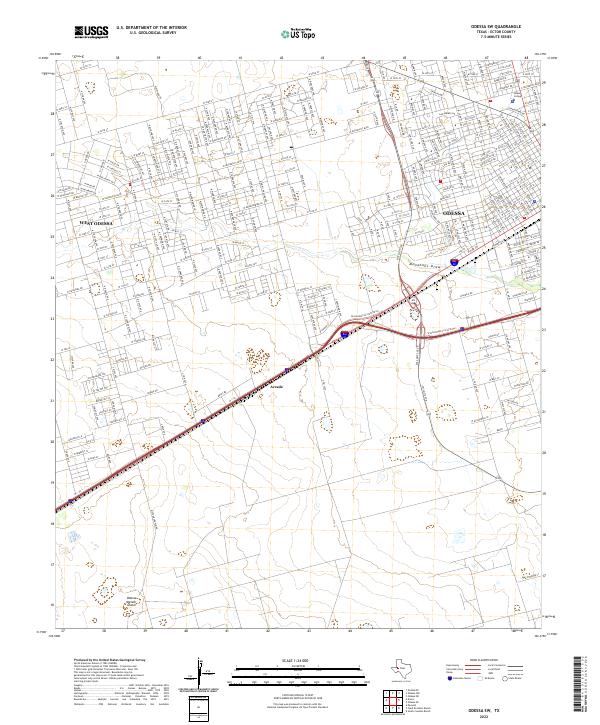
 2022 Odessa NW2022 Print · USGSThe northwestern outskirts of Odessa show a landscape in transition during the early 2020s, where new residential blocks meet established Texas ranch land. Researchers can trace the modern suburban grid against older landmarks like Odessa-Schlemeyer Field and Chesnut Playa.
 - 2022 Map of Douro, 2022 Print
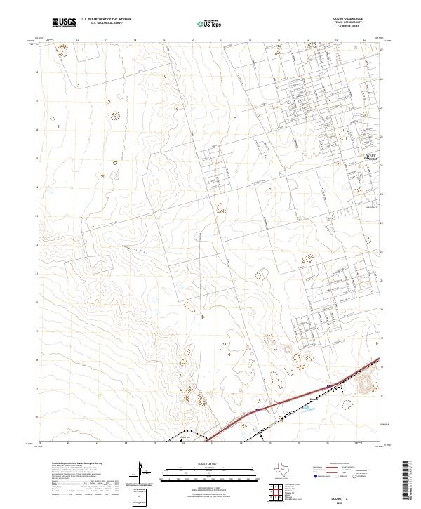 2022 Douro2022 Print · USGSWest Odessa and the surrounding West Texas plains are captured here in a moment of continued residential and industrial expansion. Genealogists and local historians can locate Rhodes Cem or trace the early settlement at Douro near the banks of Monahans Draw.
 - 2022 Map of Goldsmith, 2022 Print
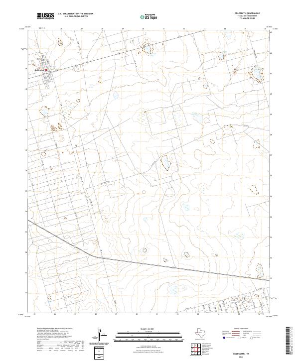 2022 Goldsmith2022 Print · USGSGoldsmith and the surrounding West Texas plains are shown in detail as they appeared in the early 2020s. Genealogists and local historians can trace family-named landmarks and routes like Dwight Helms Rd, James Lane, and Mowing Machine Lake.
 - 2022 Map of Odessa SW, 2022 Print
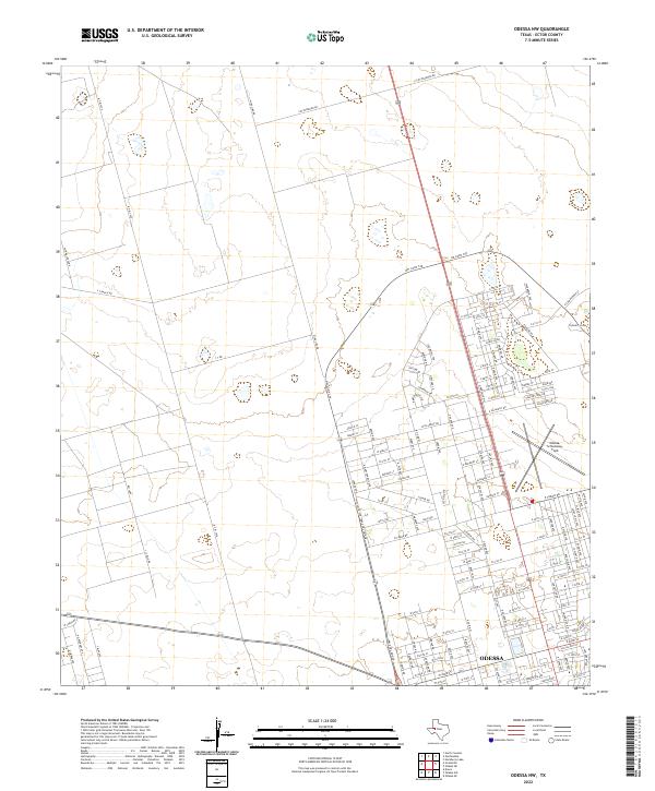
 2022 Odessa SW2022 Print · USGSWest Texas in the early 2020s shows the convergence of rare geology and suburban growth at the edge of the Permian Basin. Trace the site of the Odessa Meteor Crater and the modern residential layout of West Odessa and Odessa College.
End of results
Showing maps 1-4 of 4
Top cities near West Odessa
Top neighborhoods of West Odessa
- Cowden Oil Field historical maps
- West Odessa historical maps
- Ava Subdivision historical maps
- Frontier Park historical maps
- Chaparral historical maps
- West Concho Estates historical maps
See more
Frequently asked questions
- What are the different types of historical maps available for West Odessa?
- What is the oldest map of West Odessa?
- Where can I purchase historical maps of West Odessa for my home or office?
- Where can I download high-res historical maps of West Odessa?
- Are there historical topographic maps available for West Odessa?
- Is there historical aerial imagery available for West Odessa?
- Where are historical maps of West Odessa sourced from?