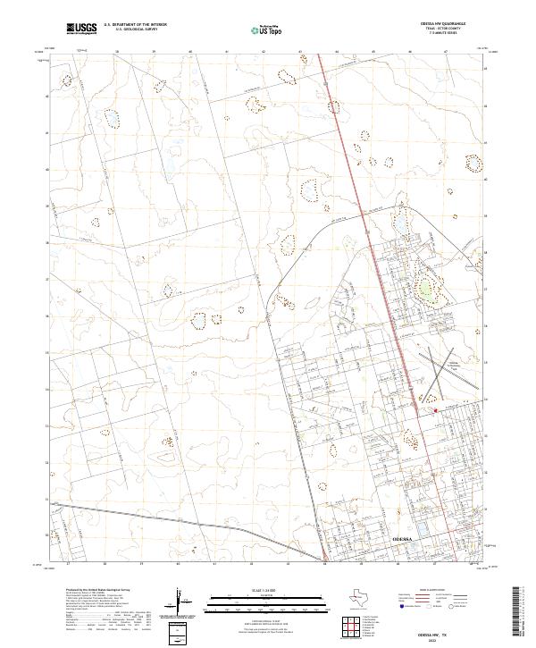
2022 Map of Odessa NW
USGS Topo · Published 2022About this map
The growing northwestern edge of Odessa meets the West Texas landscape in this 2022 survey, revealing the expansion of residential street networks and the persistence of legacy ranching infrastructure. Regional aviation is anchored by the Odessa-Schlemeyer Field, situated near the developing corridor of NW Loop 338. Beyond the suburban grid of streets like W Hillmont Rd and Georgia St, the terrain maintains its traditional character, marked by features such as Chesnut Playa and the utility-oriented Altura Lease Rd. This map captures a specific moment in Ector County history, where modern urban planning intersects with historical grazing lands and oil-field access routes. Trace the transition from the dense residential blocks near W 43rd St to the open spaces defined by Y T Ranch Rd and Cottonwood Dr.
Find a feature on this map
139 named features on this map. Tap any name to fly to it.
Don’t see what you’re looking for? This feature index may not catch every label — zoom into the map to look around manually.
Map Details
Editions of this 2022 Odessa NW Map
This is the sole edition of this map. No revisions or reprints were ever made.
Other maps of this area

1954 · Hobbs
USGS Topo · 1:250,000

1954 · Pecos
USGS Topo · 1:250,000

1957 · Pecos
USGS Topo · 1:250,000

1958 · Hobbs
USGS Topo · 1:250,000

1964 · Odessa NE
USGS Topo · 1:24,000

1964 · Odessa SW
USGS Topo · 1:24,000

1964 · Odessa NW
USGS Topo · 1:24,000

1964 · Odessa SE
USGS Topo · 1:24,000

1964 · Douro
USGS Topo · 1:24,000

1965 · Goldsmith
USGS Topo · 1:24,000