
1964 Map of Odessa SW
USGS Topo · Published 1966About this map
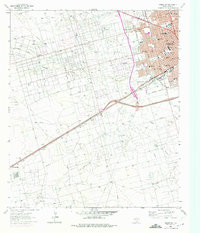
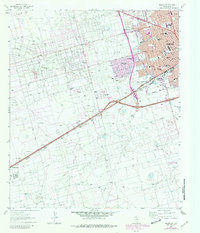
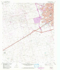
The Odessa urban landscape transitions abruptly into the industrial energy corridors of the Permian Basin in this mid-1960s survey. Dense residential blocks and educational hubs like Odessa College and Bowie Sch occupy the northeastern corner, but the surrounding terrain is defined by the massive Foster Oil Field and South Cowden Oil Field. A sprawling network of pipelines, pumping stations, and gravel pits services the region's extraction economy, while the Carbon Black Plant and a nearby Refinery anchor the industrial operations near Sid Richardson. One of the most distinctive landmarks on the sheet is the Odessa Meteor Crater, situated south of the Texas and Pacific railroad line. Topographically, the area is marked by the meandering path of Monahans Draw and an aqueduct that cuts through the arid landscape, supporting the growth of settlements like Arcade and Moss Ranch.
Find a feature on this map
40 named features on this map. Tap any name to fly to it.
Don’t see what you’re looking for? This feature index may not catch every label — zoom into the map to look around manually.
Map Details
Editions of this 1964 Odessa SW Map
4 editions found
Other maps of this area

1954 · Pecos
USGS Topo · 1:250,000

1957 · Pecos
USGS Topo · 1:250,000

1964 · Odessa NE
USGS Topo · 1:24,000

1964 · Odessa NW
USGS Topo · 1:24,000

1964 · Odessa SE
USGS Topo · 1:24,000

1964 · Douro
USGS Topo · 1:24,000

1964 · Penwell
USGS Topo · 1:24,000

1964 · Clark Brothers Ranch
USGS Topo · 1:24,000

1965 · South Cowden Ranch
USGS Topo · 1:24,000

1965 · Goldsmith
USGS Topo · 1:24,000