Old Maps of Rocksprings, Texas for Academic Research
Study the evolution of Rocksprings with 11 high-resolution historic maps. Whether you're teaching, researching, or modeling changes in land use, these maps provide essential visual documentation of urban, environmental, and geographic change.
- Analyze long-term change: Track patterns in development, transportation, and natural features.
- Ideal for environmental or urban studies: Support academic projects with primary historical map data.
- Use in the classroom or lab: Educators and researchers rely on these maps to bring historical context to life.
These maps are a powerful tool for teaching, research, and visualizing how Rocksprings has changed over the decades.
Rocksprings, TX maps
(11)- 1893 Map of Rock Springs
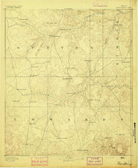 1893 Rock Springs1893 Print · USGSThe Edwards Plateau in the early 1890s was a remote ranching frontier defined by isolated outposts and limestone river breaks. Researchers can locate early family holdings such as Marsh & Taylor's Ranch and landmarks like the Devils Sink Hole.5 unique versions available
 - 1954 Map of Sonora, 1965 Print
 1954 Sonora1965 Print · USGSThe Edwards Plateau and West Texas ranching country come alive in this mid-century survey of the canyons and plateaus. Genealogists and historians can trace the remote settlements of Pandale and Loma Alta or follow the path of the Panhandle and Santa Fe RR.2 unique versions available
 - 1958 Map of Sonora
 1958 Sonora1958 Print · USGSThe Edwards Plateau and Trans-Pecos region come alive in the late fifties, showing a landscape of remote ranchlands and historic frontier outposts. Trace the legacy of Fort Lancaster Ruins, the limestone depths of Devils Sinkhole Cavern, and the path of the Pecos River.
 - 1971 Map of Rocksprings, 1973 Print
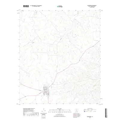
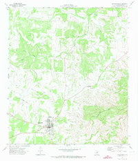 1971 Rocksprings1973 Print · USGSRocksprings and the surrounding Edwards County plateau are captured here in the early seventies, detailing the town's civic core and rural outskirts. Researchers can trace the town's development through the High Sch, Cem, and the site of Old Rock Springs.2 unique versions available
 - 1985 Map of Rocksprings, 1986 Print
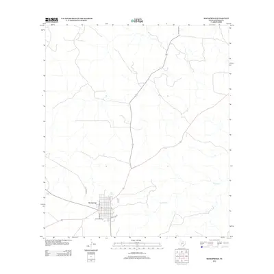
 1985 Rocksprings1986 Print · USGSThe Edwards Plateau in the mid-1980s is captured here at the junction of four counties, centered on the settlement of Rocksprings. Geologists and local historians can trace the network of drainage draws and subterranean features like Felton Cave, Word Cave, and the path of the Devils River.
 - 1993 Map of Rocksprings
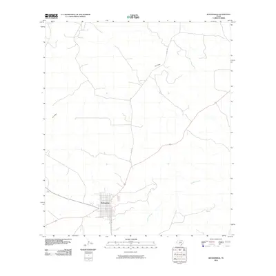
 1993 Rocksprings1993 Print · USGSThe Edwards Plateau ranching country is captured here in the early nineties, centered on the high-elevation hub of Rocksprings. Genealogists and local historians can trace the paths of the Old Spanish Road and the intricate draws like Tenmile Draw or Dragoo Hollow.
 - 2010 Map of Rocksprings, 2010 Print
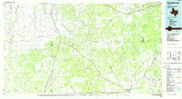
 2010 Rocksprings2010 Print · USGSCovers Rocksprings, including Edwards County, United States, and other nearby areas
 - 2012 Map of Rocksprings, 2012 Print
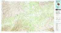
 2012 Rocksprings2012 Print · USGSCovers Rocksprings, including Edwards County, United States, and other nearby areas
 - 2016 Map of Rocksprings, 2016 Print
 2016 Rocksprings2016 Print · USGSCovers Rocksprings, including Edwards County, United States, and other nearby areas
 - 2019 Map of Rocksprings, 2019 Print
 2019 Rocksprings2019 Print · USGSCovers Rocksprings, including Edwards County, United States, and other nearby areas
 - 2022 Map of Rocksprings, 2022 Print
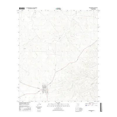
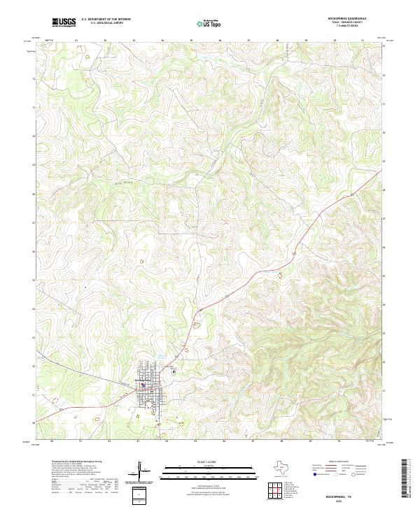 2022 Rocksprings2022 Print · USGSRocksprings at the start of the 2020s remains the high-country heart of Edwards County, centered on its historic town square. Researchers can trace the local grid from the Edwards County Courthouse to Old Rock Springs and the Rocksprings Cem.
End of results
Showing maps 1-11 of 11
Frequently asked questions
- What are the different types of historical maps available for Rocksprings?
- What is the oldest map of Rocksprings?
- Where can I purchase historical maps of Rocksprings for my home or office?
- Where can I download high-res historical maps of Rocksprings?
- Are there historical topographic maps available for Rocksprings?
- Is there historical aerial imagery available for Rocksprings?
- Where are historical maps of Rocksprings sourced from?