Old Maps of Lakeside, El Paso for Metal Detecting
Plan your next treasure hunt with 18 historic maps of Lakeside. Find old homesites, ghost towns, trails, and gathering spots that may be lost to time — perfect for identifying promising metal detecting locations.
- Locate forgotten sites: Uncover places like long-lost settlements, abandoned rail lines, or gathering spots.
- Plan better hunts: Use map overlays combined with LiDAR or satellite views to narrow in on historically rich areas.
- Made for detectorists: Thousands of hobbyists use these maps to discover relics, coins, and hidden history.
Use these historic maps to boost your research and find new opportunities beneath the surface of Lakeside.
Lakeside, El Paso maps
(18)- 1896 Map of El Paso
 1896 El Paso1896 Print · USGSThe El Paso borderlands were a nexus of rail and river commerce in the 1890s, where international boundaries met the western frontier. Researchers can trace the early layout of El Paso, the military presence at Fort Bliss, and historic valley settlements like Ysleta and San Elizario.2 unique versions available
 - 1908 Map of El Paso
 1908 El Paso1908 Print · USGSEl Paso and the lower Rio Grande valley are seen here in the first decade of the century as the railroad and military presence transformed the borderlands. Genealogists can trace family footprints in historic river towns like San Elizario, Ysleta, and Socorro, or find early ranch sites like Newman's Ranch.2 unique versions available
 - 1939 Map of Ysleta, 1958 Print
 1939 Ysleta1958 Print · USGSThe Rio Grande Valley southeast of El Paso comes alive in this pre-war survey, showing the deep-rooted mission settlements and complex irrigation networks of the borderlands. Genealogists can trace family footprints in historic Ysleta, Socorro, and San Elizario.
 - 1941 Map of Ysleta
 1941 Ysleta1941 Print · USGSThe El Paso Lower Valley was a thriving corridor of irrigation and international trade just before the war. Researchers can trace the heritage of the Rio Grande through the San Antonio Mission, the Ysleta Jesuit College, and the grounds of the County Farm.
 - 1945 Map of Ysleta
 1945 Ysleta1945 Print · USGSThe Rio Grande valley southeast of El Paso comes alive in the mid-forties, showing the vital irrigation networks and rail lines that sustained the border. Genealogists and historians can trace family roots near San Antonio Mission, Ysleta, and the CCC Camp.
 - 1953 Map of El Paso
 1953 El Paso1953 Print · USGSEl Paso and the border region are shown here in the early fifties, documenting a landscape of shared river life and rising military presence. Genealogists and historians can trace rail-tied communities like Smeltertown, San Elizario, and the grounds of Fort Bliss.
 - 1955 Map of Ysleta NW, 1959 Print
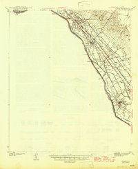
 1955 Ysleta NW1959 Print · USGSEl Paso's southeastern fringe comes into focus in the mid-1950s, showing the intersection of international trade and local recreation along the Rio Grande. Researchers can trace early suburban layouts in Lakeside and identify the rail hubs of the T & P and T & NO (SP).3 unique versions available
 - 1959 Map of El Paso, 1968 Print
 1959 El Paso1968 Print · USGSEl Paso and the international borderlands come alive in this mid-century survey of the Chihuahuan Desert. Genealogists and historians can trace rail-side settlements like Columbus and Fabens, locate the sprawling Fort Bliss, and explore the geologically unique Kilbourne Hole.2 unique versions available
 - 1964 Map of El Paso
 1964 El Paso1964 Print · USGSThe El Paso and Juarez borderlands are shown in detail during the mid-sixties, from the urban center to the remote volcanic craters of the West Potrillo Mountains. Trace the rail-and-river network through Asarco Smeltertown, the Fort Bliss Military Reservation, and Columbus.
 - 1965 Map of El Paso
 1965 El Paso1965 Print · USGSEl Paso and the Mesilla Valley are shown in the mid-1960s as the region's military and transport infrastructure expanded. Researchers can trace the irrigation network along the Rio Grande, find old border stations like Columbus, and locate Hueco Tanks.
 - 1983 Map of El Paso
 1983 El Paso1983 Print · USGSThe Chihuahuan Desert borderlands come into sharp focus in the early eighties as the binational metro area of El Paso and Ciudad Juarez expands. Genealogists and historians can trace rail lines like the Santa Fe, military grounds at Fort Bliss, and rural valley settlements including Canutillo and Zaragoza.2 unique versions available
 - 1990 Map of Ysleta NW, 1991 Print
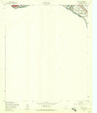
 1990 Ysleta NW1991 Print · USGSThe international border south of El Paso comes into focus in this late-twentieth-century study of the river valley. Genealogists and historians can trace the growth of Alfalfa and Lakeside alongside the water networks of the Playa Intercepting Drain and Ascarate Lake.
 - 1994 Map of Ysleta NW
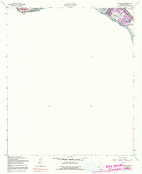
 1994 Ysleta NW1994 Print · USGSEl Paso’s southeastern borderlands are captured in the mid-nineties as suburban growth met the international line. Trace the development of neighborhoods like Lakeside and locate community anchors such as Cedar Grove Sch and Ascarate Lake.
 - 2010 Map of Ysleta NW, 2010 Print
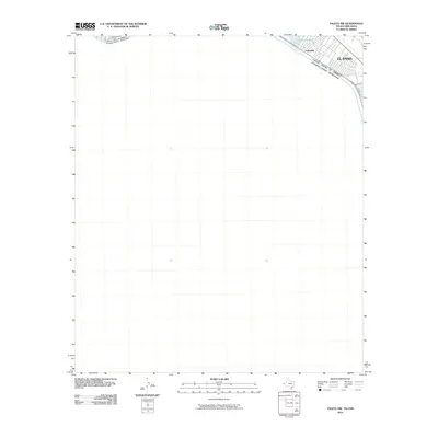 2010 Ysleta NW2010 Print · USGSCovers Lakeside, including Ciudad Juárez, El Paso, and other nearby areas
 - 2012 Map of Ysleta NW, 2012 Print
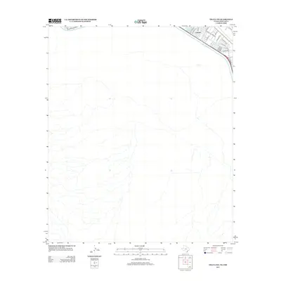 2012 Ysleta NW2012 Print · USGSCovers Lakeside, including Ciudad Juárez, El Paso, and other nearby areas
 - 2016 Map of Ysleta NW, 2016 Print
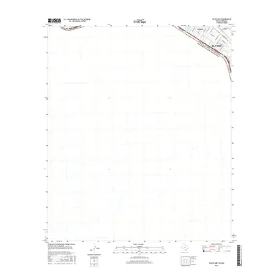 2016 Ysleta NW2016 Print · USGSCovers Lakeside, including Ciudad Juárez, El Paso, and other nearby areas
 - 2019 Map of Ysleta NW, 2019 Print
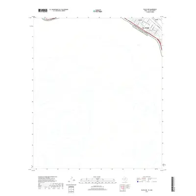 2019 Ysleta NW2019 Print · USGSCovers Lakeside, including Ciudad Juárez, El Paso, and other nearby areas
 - 2022 Map of Ysleta NW, 2022 Print
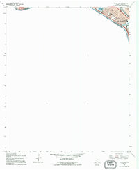
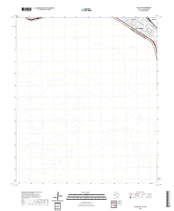 2022 Ysleta NW2022 Print · USGSEl Paso’s southeastern edge meets the Mexican border along the banks of the Rio Grande in the early 2020s. Genealogists and local historians can trace neighborhood growth in Lakeside and Alfalfa or locate specific residences along Alameda Ave and Granite Rd.
End of results
Showing maps 1-18 of 18
Top cities near Lakeside
- El Paso historical maps
- Socorro historical maps
- Sunland Park historical maps
- Horizon City historical maps
- San Elizario historical maps
- Canutillo historical maps
See more
Frequently asked questions
- What are the different types of historical maps available for Lakeside?
- What is the oldest map of Lakeside?
- Where can I purchase historical maps of Lakeside for my home or office?
- Where can I download high-res historical maps of Lakeside?
- Are there historical topographic maps available for Lakeside?
- Is there historical aerial imagery available for Lakeside?
- Where are historical maps of Lakeside sourced from?