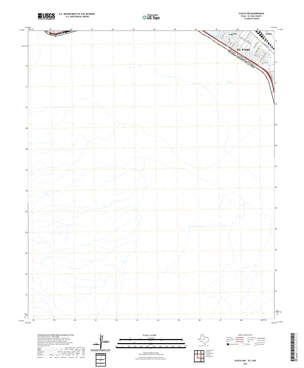
2022 Map of Ysleta NW
USGS Topo · Published 2022About this map
The Rio Grande defines the international boundary between the United States and Mexico in this corner of the desert southwest. This map focuses on the southeastern outskirts of El Paso, where the urban grid of the Chihuahuan Desert meets the river’s edge. Modern residential pockets like Lakeside and Alfalfa are shown nestled against the riparian corridor, with the Valley Gate Lateral canal serving as a reminder of the complex irrigation systems required to support life and agriculture in this arid region.
Find a feature on this map
18 named features on this map. Tap any name to fly to it.
Don’t see what you’re looking for? This feature index may not catch every label — zoom into the map to look around manually.
Map Details
Editions of this 2022 Ysleta NW Map
This is the sole edition of this map. No revisions or reprints were ever made.
Other maps of this area

1896 · El Paso
USGS Topo · 1:125,000

1908 · El Paso
USGS Topo · 1:125,000

1917 · Canutillo
USGS Topo · 1:62,500

1919 · Canutillo
USGS Topo · 1:62,500

1939 · Ysleta
USGS Topo · 1:62,500

1941 · El Paso
USGS Topo · 1:31,680

1941 · Ysleta
USGS Topo · 1:62,500

1942 · Fort Bliss
USGS Topo · 1:62,500

1943 · El Paso
USGS Topo · 1:31,680

1945 · Ysleta
USGS Topo · 1:62,500