Old Maps of Paso View West Colonia, Texas for Hiking & Exploration
Hike through history with 17 historic maps of Paso View West Colonia. Explore old trails, ghost towns, and forgotten backroads — perfect for outdoor adventurers and local explorers.
- Rediscover forgotten places: Map out old mining camps, roads, and footpaths that no longer exist on modern maps.
- Layer with modern tools: Combine with LiDAR or satellite views to plan hikes through historical terrain.
- Made for exploration: Popular among hikers, overlanders, and local history lovers.
Use these maps to find adventure and explore the hidden past of Paso View West Colonia.
Paso View West Colonia, TX maps
(17)- 1896 Map of El Paso
 1896 El Paso1896 Print · USGSThe El Paso borderlands were a nexus of rail and river commerce in the 1890s, where international boundaries met the western frontier. Researchers can trace the early layout of El Paso, the military presence at Fort Bliss, and historic valley settlements like Ysleta and San Elizario.2 unique versions available
 - 1908 Map of El Paso
 1908 El Paso1908 Print · USGSEl Paso and the lower Rio Grande valley are seen here in the first decade of the century as the railroad and military presence transformed the borderlands. Genealogists can trace family footprints in historic river towns like San Elizario, Ysleta, and Socorro, or find early ranch sites like Newman's Ranch.2 unique versions available
 - 1939 Map of Heuco Tanks, 1961 Print
 1939 Heuco Tanks1961 Print · USGSEl Paso County ranching and transit routes are documented here just before the Second World War. Trace the historic Old Butterfield Trail past Escontrias Ranch or locate family landmarks like Deep Well Ranch and Helms West Well.
 - 1940 Map of Heuco Tanks
 1940 Heuco Tanks1940 Print · USGSEl Paso County ranching and transit are captured at the end of the 1930s as the desert landscape evolved. Genealogists and historians can trace the Old Butterfield Trail and locate family outposts like Escontrias Ranch and Rockhouse.
 - 1944 Map of Heuco Tanks, 1949 Print
 1944 Heuco Tanks1949 Print · USGSEl Paso County at the dawn of the 1940s shows a high-desert ranching landscape shaped by water and heritage. Genealogists and historians can trace historic family holdings like Escontrias Ranch and the path of the storied Old Butterfield Trail.
 - 1953 Map of El Paso
 1953 El Paso1953 Print · USGSEl Paso and the border region are shown here in the early fifties, documenting a landscape of shared river life and rising military presence. Genealogists and historians can trace rail-tied communities like Smeltertown, San Elizario, and the grounds of Fort Bliss.
 - 1955 Map of Nations South Well, 1959 Print
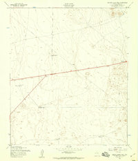 1955 Nations South Well1959 Print · USGSEl Paso County's arid landscape in the mid-fifties was defined by the critical infrastructure of water management and isolated outposts. Researchers can trace the development of The Hueco Club and utility networks like the Hueco Water Wells and Rockhouse.2 unique versions available
 - 1959 Map of El Paso, 1968 Print
 1959 El Paso1968 Print · USGSEl Paso and the international borderlands come alive in this mid-century survey of the Chihuahuan Desert. Genealogists and historians can trace rail-side settlements like Columbus and Fabens, locate the sprawling Fort Bliss, and explore the geologically unique Kilbourne Hole.2 unique versions available
 - 1964 Map of El Paso
 1964 El Paso1964 Print · USGSThe El Paso and Juarez borderlands are shown in detail during the mid-sixties, from the urban center to the remote volcanic craters of the West Potrillo Mountains. Trace the rail-and-river network through Asarco Smeltertown, the Fort Bliss Military Reservation, and Columbus.
 - 1965 Map of El Paso
 1965 El Paso1965 Print · USGSEl Paso and the Mesilla Valley are shown in the mid-1960s as the region's military and transport infrastructure expanded. Researchers can trace the irrigation network along the Rio Grande, find old border stations like Columbus, and locate Hueco Tanks.
 - 1983 Map of El Paso
 1983 El Paso1983 Print · USGSThe Chihuahuan Desert borderlands come into sharp focus in the early eighties as the binational metro area of El Paso and Ciudad Juarez expands. Genealogists and historians can trace rail lines like the Santa Fe, military grounds at Fort Bliss, and rural valley settlements including Canutillo and Zaragoza.2 unique versions available
 - 1995 Map of Nations South Well
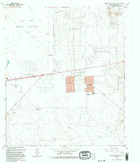 1995 Nations South Well1995 Print · USGSEl Paso's eastern desert fringes are captured in the mid-1990s as suburban residential grids began to meet the edges of the Fort Bliss Military Reservation. You can locate vanished landmarks like the Drive-in Theater and the Drag Strip, or trace old ranching locations at Rockhouse (Site).
 - 2010 Map of Nations South Well, 2010 Print
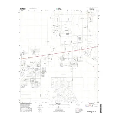
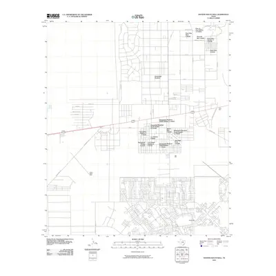 2010 Nations South Well2010 Print · USGSCovers Paso View West Colonia, including El Paso, Las Quintas Number 2 Colonia, and other nearby areas
 - 2012 Map of Nations South Well, 2012 Print
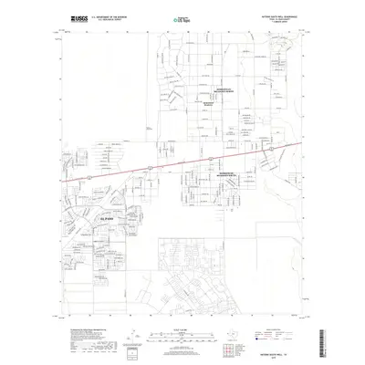
 2012 Nations South Well2012 Print · USGSCovers Paso View West Colonia, including El Paso, Las Quintas Number 2 Colonia, and other nearby areas
 - 2016 Map of Nations South Well, 2016 Print
 2016 Nations South Well2016 Print · USGSCovers Paso View West Colonia, including El Paso, Las Quintas Number 2 Colonia, and other nearby areas
 - 2019 Map of Nations South Well, 2019 Print
 2019 Nations South Well2019 Print · USGSCovers Paso View West Colonia, including El Paso, Las Quintas Number 2 Colonia, and other nearby areas
 - 2022 Map of Nations South Well, 2022 Print
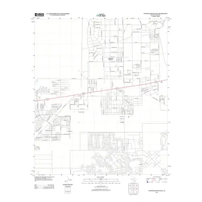
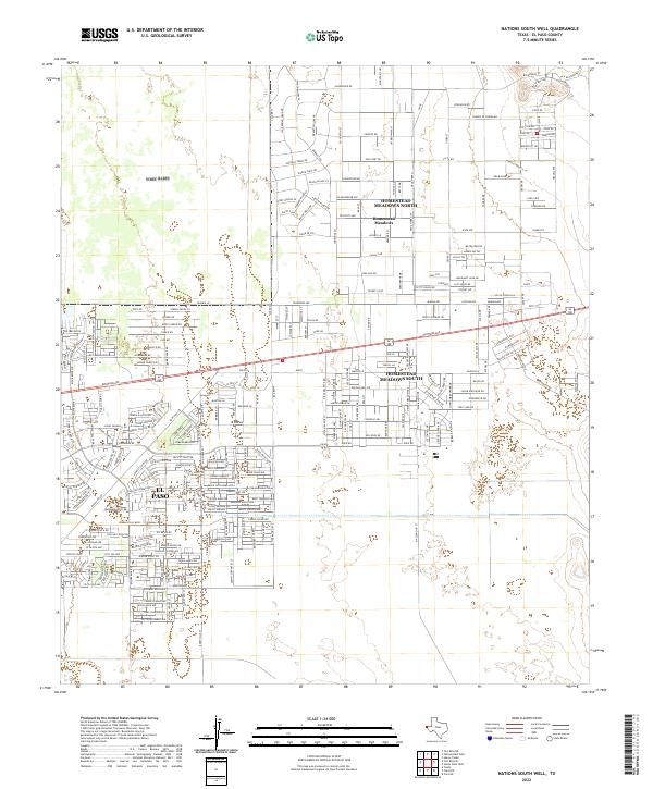 2022 Nations South Well2022 Print · USGSEl Paso County’s eastern edge shows its modern residential footprint in the early 2020s as suburban development meets the desert. Trace the path of the Old Butterfield Trl near newer neighborhoods like Homestead Meadows North.
End of results
Showing maps 1-17 of 17
Top cities near Paso View West Colonia
Frequently asked questions
- What are the different types of historical maps available for Paso View West Colonia?
- What is the oldest map of Paso View West Colonia?
- Where can I purchase historical maps of Paso View West Colonia for my home or office?
- Where can I download high-res historical maps of Paso View West Colonia?
- Are there historical topographic maps available for Paso View West Colonia?
- Is there historical aerial imagery available for Paso View West Colonia?
- Where are historical maps of Paso View West Colonia sourced from?