2000s (21st Century) Maps of Pecan Hill, Texas
Explore 10 historic maps of Pecan Hill from the 2000s (21st Century). These maps offer a rare glimpse into what life looked like during the 2000s — showing old roads, neighborhoods, homes, and landmarks that have changed or disappeared over time.
Whether you're researching your family's past, planning a metal detecting trip, or studying how Pecan Hill's landscape evolved across the 2000s, these high-resolution maps are a powerful tool for exploring the history of this region.
- Focus on a specific era: All maps on this page are from the 2000s, giving you a focused view of this time period.
- See what’s changed: Compare century-old streets, trails, and buildings to today's modern landscape using overlays and satellite layers.
- Research with precision: Use these maps for genealogy, historical research, land use analysis, or educational projects.
- View, download, or print: Maps are fully viewable online in high resolution, and can be downloaded or printed for your own records.
Start exploring Pecan Hill's history through authentic maps from the 2000s. This is your window into the past.
Pecan Hill, TX maps
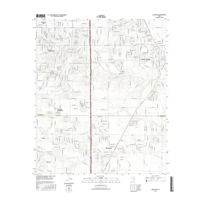
(10)- 2010 Map of Lancaster, 2010 Print
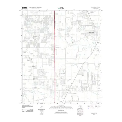 2010 Lancaster2010 Print · USGSCovers Pecan Hill, including Dallas, De Soto, and other nearby areas
 - 2010 Map of Waxahachie, 2010 Print
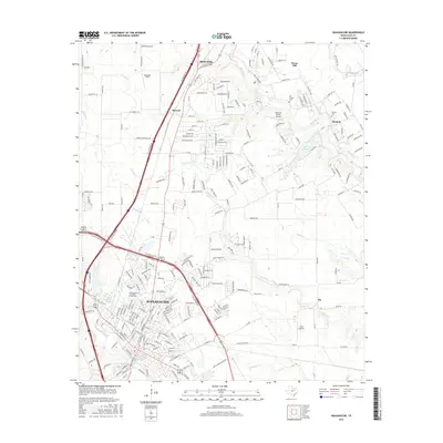
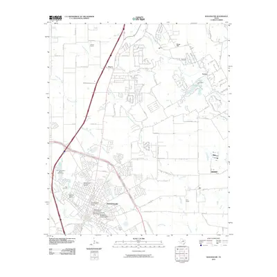 2010 Waxahachie2010 Print · USGSCovers Pecan Hill, including Waxahachie, Oak Leaf, and other nearby areas
 - 2012 Map of Waxahachie, 2012 Print
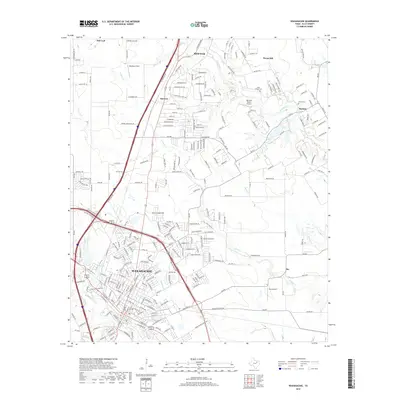
 2012 Waxahachie2012 Print · USGSCovers Pecan Hill, including Waxahachie, Oak Leaf, and other nearby areas
 - 2012 Map of Lancaster, 2012 Print
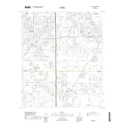
 2012 Lancaster2012 Print · USGSCovers Pecan Hill, including Dallas, De Soto, and other nearby areas
 - 2016 Map of Lancaster, 2016 Print
 2016 Lancaster2016 Print · USGSCovers Pecan Hill, including Dallas, De Soto, and other nearby areas
 - 2016 Map of Waxahachie, 2016 Print
 2016 Waxahachie2016 Print · USGSCovers Pecan Hill, including Waxahachie, Oak Leaf, and other nearby areas
 - 2019 Map of Lancaster, 2019 Print
 2019 Lancaster2019 Print · USGSCovers Pecan Hill, including Dallas, De Soto, and other nearby areas
 - 2019 Map of Waxahachie, 2019 Print
 2019 Waxahachie2019 Print · USGSCovers Pecan Hill, including Waxahachie, Oak Leaf, and other nearby areas
 - 2022 Map of Waxahachie, 2022 Print
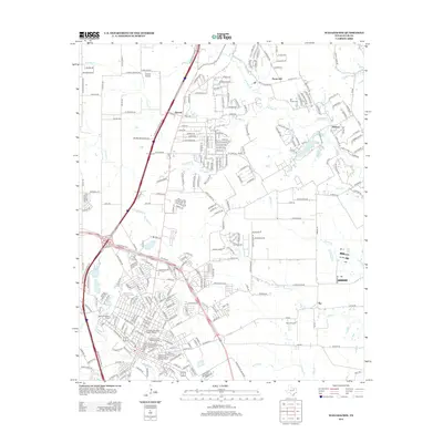
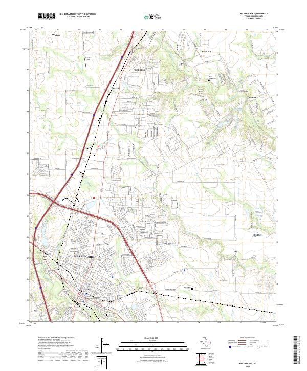 2022 Waxahachie2022 Print · USGSWaxahachie and northern Ellis County are captured here during an era of significant suburban development along the Interstate 35E corridor. Genealogists can locate several family and community burial grounds including Bells Chapel Cem, Graves Cem, and the Ellis County Farm Cem.
 - 2022 Map of Lancaster, 2022 Print
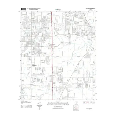
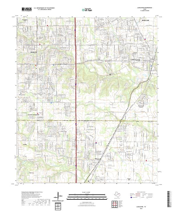 2022 Lancaster2022 Print · USGSThe Dallas-Ellis County line comes alive in this contemporary survey of a rapidly evolving Texas landscape. Researchers can locate family landmarks like the Rawlins Cem, Edgewood Cem, and the sprawling grounds of Bear Creek Ranch.
End of results
Showing maps 1-10 of 10
Top cities near Pecan Hill
- Dallas historical maps
- Grand Prairie historical maps
- Mesquite historical maps
- De Soto historical maps
- DeSoto historical maps
- Cedar Hill historical maps
See more
Frequently asked questions
- What are the different types of historical maps available for Pecan Hill?
- What is the oldest map of Pecan Hill?
- Where can I purchase historical maps of Pecan Hill for my home or office?
- Where can I download high-res historical maps of Pecan Hill?
- Are there historical topographic maps available for Pecan Hill?
- Is there historical aerial imagery available for Pecan Hill?
- Where are historical maps of Pecan Hill sourced from?