Old Maps of Windom, Texas for Genealogy
Trace your family roots with 23 historic maps of Windom. These high-res maps reveal old neighborhoods, homesites, landmarks, and streets — helping you uncover where your ancestors lived and how the area evolved over time.
- Explore historic neighborhoods: Identify where your relatives may have lived in the 1800s or 1900s.
- Compare maps over time: Trace the changes in streets, buildings, and landmarks for multi-generational research.
- Perfect for genealogy & ancestry research: Used by family historians and researchers to map out lineage and migration.
These maps are an incredible resource for exploring your personal connection to Windom's past.
Windom, TX maps
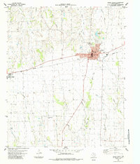
(23)- 1903 Map of Paris
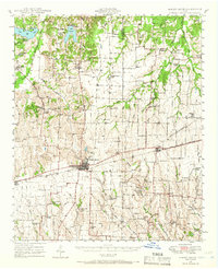
 1903 Paris1903 Print · USGSThe Red River borderlands of the Indian Territory and Texas are shown here at the start of the century. Genealogists and researchers can trace early settlements and social hubs like Grant, Oberlin, and the Camp Ground along the winding banks of the Red River.
 - 1947 Map of Honey Grove, 1966 Print
 1947 Honey Grove1966 Print · USGSNortheast Texas at the close of the 1940s reveals a landscape of thriving rural school districts and rail-side commerce. Genealogists can trace family roots through numerous sites like McCraw Chapel, Oakwood Cem, and Michigan Prairie School.2 unique versions available
 - 1949 Map of Honey Grove
 1949 Honey Grove1949 Print · USGSIn the late 1940s, the rural corridor between Honey Grove and Petty thrived as a network of rail-side towns and country schoolhouses. Genealogists can trace family landmarks like Spoonamore Hill, the Michigan Prairie School, and Oakwood Cem.
 - 1953 Map of Texarkana, 1964 Print
 1953 Texarkana1964 Print · USGSThe Texas-Arkansas borderlands are captured here in the mid-fifties, during a decade of massive military and hydraulic engineering projects. Genealogists and researchers can locate family landmarks like Old Boston Cem, Siloam Ch, and the vast Red River Arsenal.4 unique versions available
 - 1954 Map of Sherman, 1964 Print
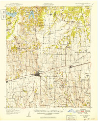
 1954 Sherman1964 Print · USGSThe Red River valley and North Texas plains are captured here in the mid-fifties, showing the region as new reservoirs like Lake Texoma and Lavon Reservoir reshaped the land. Genealogists can trace family roots through specific local landmarks like Courtney P O, Pilot Grove Sch, and New Hope Ch.2 unique versions available
 - 1956 Map of Texarkana
 1956 Texarkana1956 Print · USGSThe Ark-La-Tex borderlands come alive in the mid-fifties, showing the transition from a rail-dependent rural economy to a post-war industrial landscape. Researchers can trace the massive Red River Ordnance Depot and find towns like Talco, Bogata, and Naples.
 - 1958 Map of Bonham, 1959 Print
 1958 Bonham1959 Print · USGSFannin County in the late fifties shows a landscape of established rail towns and quiet river bluffs along the Oklahoma border. Genealogists can trace family roots through dozens of local sites like Odd Fellows Cem, Sowells Bluff, and St Mark Ch.
 - 1958 Map of Sherman, 1959 Print
 1958 Sherman1959 Print · USGSNorth Texas and Southern Oklahoma were undergoing significant development in the late fifties as the Red River Valley transit networks matured. Researchers can trace historic family-named locations such as Saddler Bend, the grounds of Perrin AFB, and early shoreline developments at Lake Texoma.
 - 1984 Map of Dodd City, 1985 Print
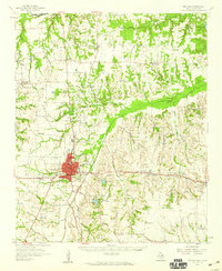
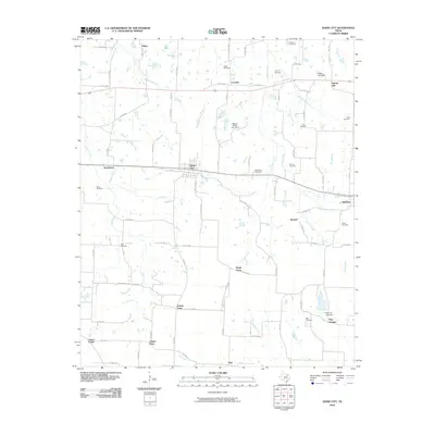
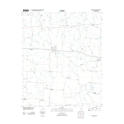
 1984 Dodd City1985 Print · USGSDodd City and its neighboring prairie hamlets are captured here in the mid-eighties as the railroad still anchored local life. Genealogists can locate numerous burial sites like County Home Cem and Wall Cem or trace old family land near Lannius and Windom.
 - 1984 Map of Honey Grove, 1985 Print
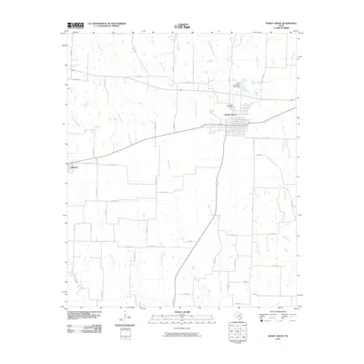
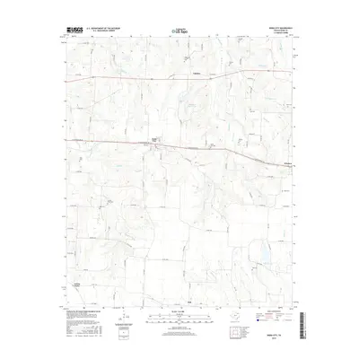
 1984 Honey Grove1985 Print · USGSHoney Grove and Windom are captured here during the late 1970s as agricultural centers along the Missouri Pacific line. Genealogists and local historians can trace family locations near Mc Craws Chapel Cem, Oakwood Cem, and the Old Railroad Grade.
 - 1985 Map of Paris
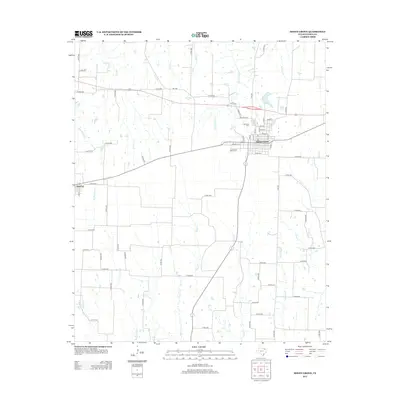
 1985 Paris1985 Print · USGSThe Red River Valley in the mid-eighties shows a landscape of military training grounds and rail-connected agricultural towns. Genealogists and historians can trace local landmarks like Allens Chapel Cem, the grounds of Camp Maxey, and the early footprint of Paris Junior College.
 - 1985 Map of Sherman, 1991 Print
 1985 Sherman1991 Print · USGSThe borderlands of North Texas and Southern Oklahoma are captured here in the mid-eighties, centered on the expansive waters of Lake Texoma. Researchers can trace the legacy of the regional rail economy through the Missouri-Kansas-Texas RR or explore the geography of Hagerman National Wildlife Refuge and Carpenters Bluff.
 - 1991 Map of Paris
 1991 Paris1991 Print · USGSNorthern Texas and southern Oklahoma meet along the Red River valley during the early nineties. Researchers can trace the rail networks of the Texas and Pacific RR and visit rural communities like Manchester, Sylvan, and Arthur City.
 - 2010 Map of Dodd City, 2010 Print
 2010 Dodd City2010 Print · USGSCovers Windom, including Dodd City, Lannius, and other nearby areas
 - 2010 Map of Honey Grove, 2010 Print
 2010 Honey Grove2010 Print · USGSCovers Windom, including Honey Grove, Fannin County, and other nearby areas
 - 2012 Map of Honey Grove, 2012 Print
 2012 Honey Grove2012 Print · USGSCovers Windom, including Honey Grove, Fannin County, and other nearby areas
 - 2013 Map of Dodd City, 2013 Print
 2013 Dodd City2013 Print · USGSCovers Windom, including Dodd City, Lannius, and other nearby areas
 - 2016 Map of Dodd City, 2016 Print
 2016 Dodd City2016 Print · USGSCovers Windom, including Dodd City, Lannius, and other nearby areas
 - 2016 Map of Honey Grove, 2016 Print
 2016 Honey Grove2016 Print · USGSCovers Windom, including Honey Grove, Fannin County, and other nearby areas
 - 2019 Map of Honey Grove, 2019 Print
 2019 Honey Grove2019 Print · USGSCovers Windom, including Honey Grove, Fannin County, and other nearby areas
 - 2019 Map of Dodd City, 2019 Print
 2019 Dodd City2019 Print · USGSCovers Windom, including Dodd City, Lannius, and other nearby areas
 - 2022 Map of Honey Grove, 2022 Print
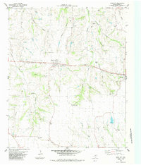
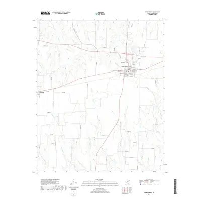
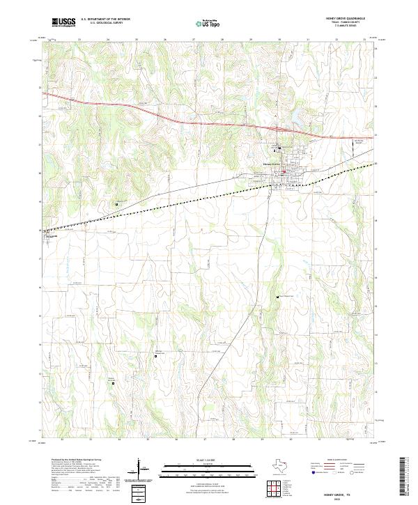 2022 Honey Grove2022 Print · USGSFannin County's agricultural and township patterns are well-preserved here in the early twenty-first century. Researchers can trace family history at numerous rural sites like McCraws Chapel Cem, Floyd Thicket Cem, and Oakwood Cem.
 - 2022 Map of Dodd City, 2022 Print
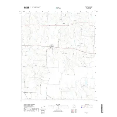
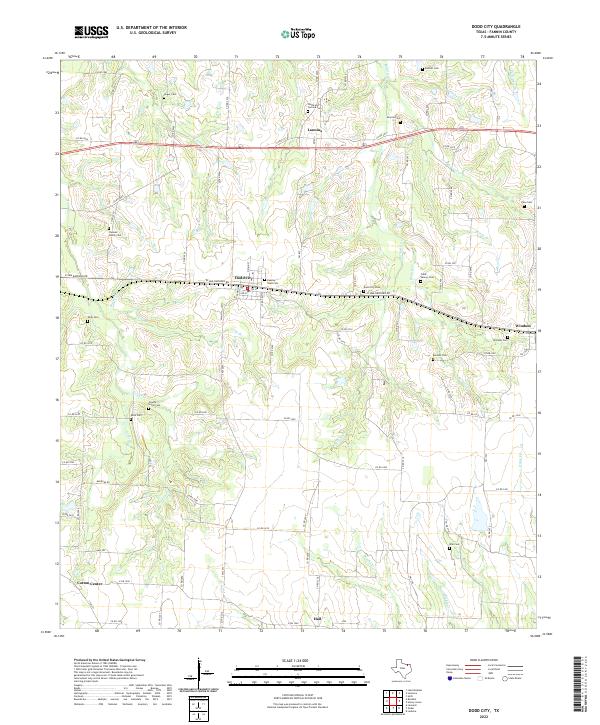 2022 Dodd City2022 Print · USGSFannin County's agricultural heartland is documented here in the early twenty-first century, showing a landscape still anchored by its pioneer-era roots. Genealogists can locate numerous small burial sites like Hilger Cem and County Home Cem near Dodd City.
End of results
Showing maps 1-23 of 23
Top cities near Windom
- Bonham historical maps
- Leonard historical maps
- Honey Grove historical maps
- Wolfe City historical maps
- Ladonia historical maps
- Dodd City historical maps
See more
Frequently asked questions
- What are the different types of historical maps available for Windom?
- What is the oldest map of Windom?
- Where can I purchase historical maps of Windom for my home or office?
- Where can I download high-res historical maps of Windom?
- Are there historical topographic maps available for Windom?
- Is there historical aerial imagery available for Windom?
- Where are historical maps of Windom sourced from?