2000s (21st Century) Maps of Roby, Texas
Explore 20 historic maps of Roby from the 2000s (21st Century). These maps offer a rare glimpse into what life looked like during the 2000s — showing old roads, neighborhoods, homes, and landmarks that have changed or disappeared over time.
Whether you're researching your family's past, planning a metal detecting trip, or studying how Roby's landscape evolved across the 2000s, these high-resolution maps are a powerful tool for exploring the history of this region.
- Focus on a specific era: All maps on this page are from the 2000s, giving you a focused view of this time period.
- See what’s changed: Compare century-old streets, trails, and buildings to today's modern landscape using overlays and satellite layers.
- Research with precision: Use these maps for genealogy, historical research, land use analysis, or educational projects.
- View, download, or print: Maps are fully viewable online in high resolution, and can be downloaded or printed for your own records.
Start exploring Roby's history through authentic maps from the 2000s. This is your window into the past.
Roby, TX maps
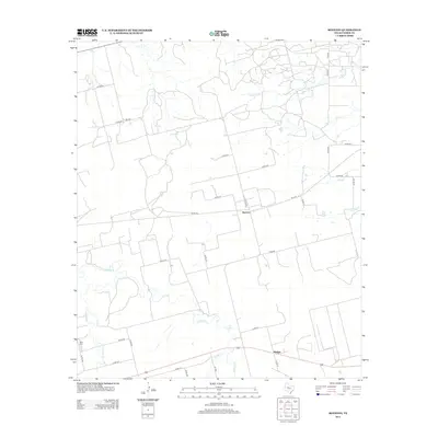
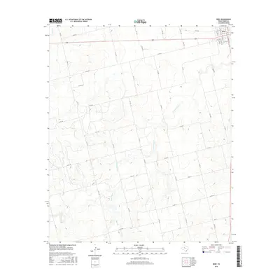
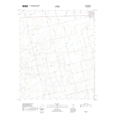
(20)- 2010 Map of Roby, 2010 Print
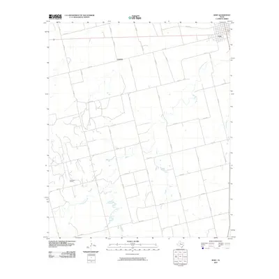 2010 Roby2010 Print · USGSCovers Roby, including Center, Fisher County, and other nearby areas
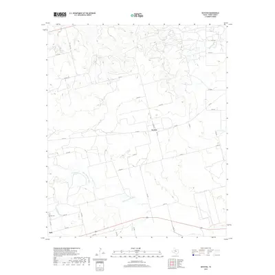
 - 2010 Map of Royston, 2010 Print
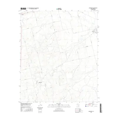
 2010 Royston2010 Print · USGSCovers Roby, including Royston, Pledger, and other nearby areas
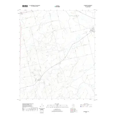
 - 2010 Map of Longworth, 2010 Print
 2010 Longworth2010 Print · USGSCovers Roby, including Longworth, Sylvester, and other nearby areas
 - 2010 Map of Rotan, 2010 Print
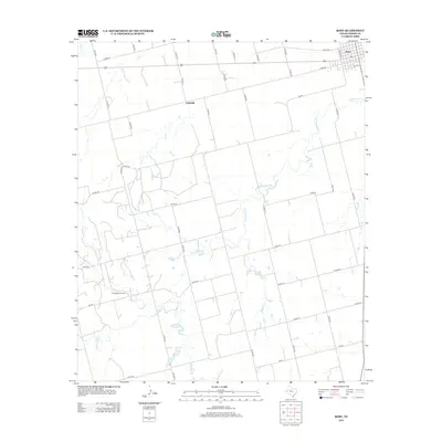
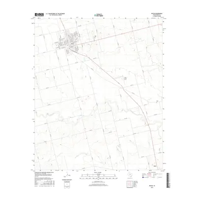
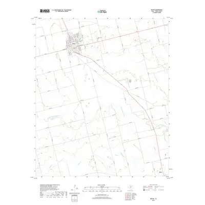
 2010 Rotan2010 Print · USGSCovers Roby, including Rotan, North Roby, and other nearby areas
 - 2012 Map of Royston, 2012 Print
 2012 Royston2012 Print · USGSCovers Roby, including Royston, Pledger, and other nearby areas
 - 2012 Map of Rotan, 2012 Print
 2012 Rotan2012 Print · USGSCovers Roby, including Rotan, North Roby, and other nearby areas
 - 2012 Map of Roby, 2012 Print
 2012 Roby2012 Print · USGSCovers Roby, including Center, Fisher County, and other nearby areas
 - 2012 Map of Longworth, 2012 Print
 2012 Longworth2012 Print · USGSCovers Roby, including Longworth, Sylvester, and other nearby areas
 - 2016 Map of Roby, 2016 Print
 2016 Roby2016 Print · USGSCovers Roby, including Center, Fisher County, and other nearby areas
 - 2016 Map of Rotan, 2016 Print
 2016 Rotan2016 Print · USGSCovers Roby, including Rotan, North Roby, and other nearby areas
 - 2016 Map of Royston, 2016 Print
 2016 Royston2016 Print · USGSCovers Roby, including Royston, Pledger, and other nearby areas
 - 2016 Map of Longworth, 2016 Print
 2016 Longworth2016 Print · USGSCovers Roby, including Longworth, Sylvester, and other nearby areas
 - 2019 Map of Roby, 2019 Print
 2019 Roby2019 Print · USGSCovers Roby, including Center, Fisher County, and other nearby areas
 - 2019 Map of Rotan, 2019 Print
 2019 Rotan2019 Print · USGSCovers Roby, including Rotan, North Roby, and other nearby areas
 - 2019 Map of Longworth, 2019 Print
 2019 Longworth2019 Print · USGSCovers Roby, including Longworth, Sylvester, and other nearby areas
 - 2019 Map of Royston, 2019 Print
 2019 Royston2019 Print · USGSCovers Roby, including Royston, Pledger, and other nearby areas
 - 2022 Map of Royston, 2022 Print
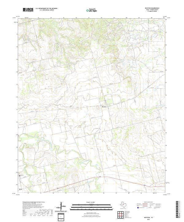 2022 Royston2022 Print · USGSFisher County at the start of the 2020s shows a landscape of deep river breaks and established ranch roads. Genealogists and local historians can trace the area around Roby, the community of Royston, and landmarks like Roby Cem or Kyle Spring.
 - 2022 Map of Rotan, 2022 Print
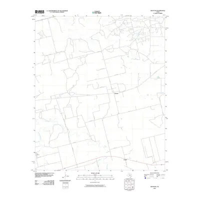
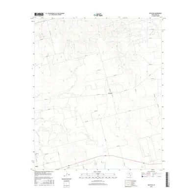
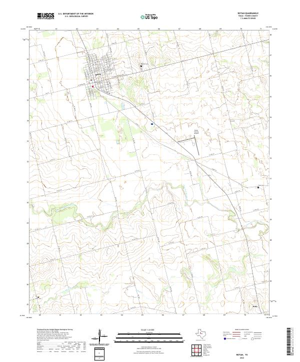 2022 Rotan2022 Print · USGSFisher County at the start of the 2020s shows the enduring layout of West Texas ranching hubs and river valleys. Researchers can trace the path of the Clear Fork Brazos River and locate family markers at Belvieu Cem or Sardis Cem.
 - 2022 Map of Longworth, 2022 Print
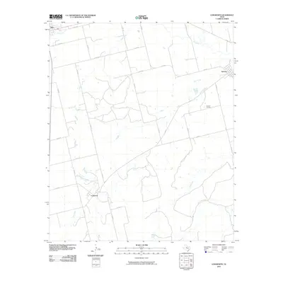
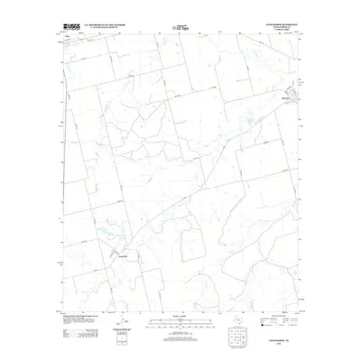
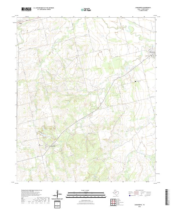 2022 Longworth2022 Print · USGSFisher County's rural heartland is documented here in the early twenty-first century, showing the enduring ranching and farming landscapes. Researchers can locate family sites near Longworth Cem, trace the course of China Cr, or explore the small communities of Longworth and Sylvester.
 - 2022 Map of Roby, 2022 Print
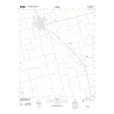
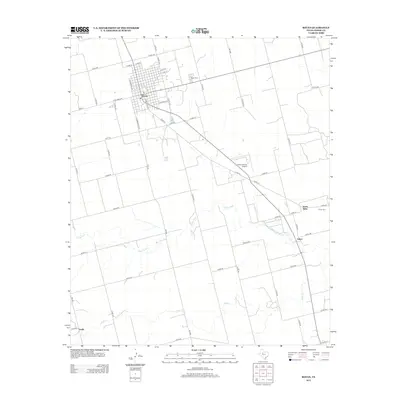
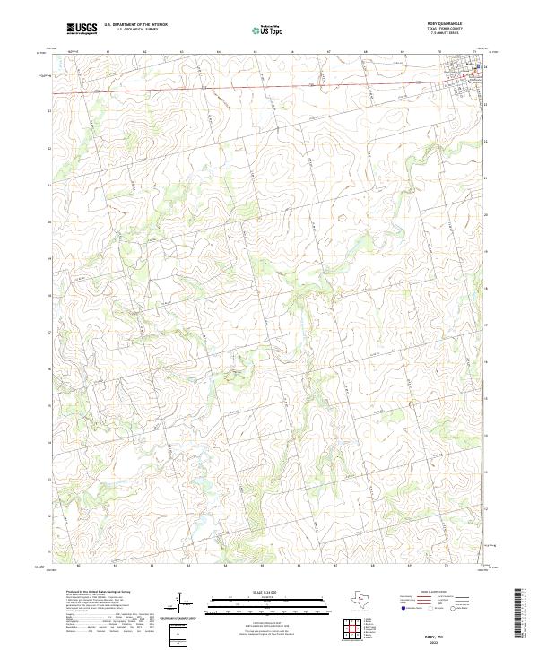 2022 Roby2022 Print · USGSThe West Texas town of Roby is shown at the peak of its modern development as the Fisher County seat. Genealogists and historians can locate the Fisher County Courthouse and trace local routes along Cottonwood Cr and FM 419.
End of results
Showing maps 1-20 of 20
Top cities near Roby
Frequently asked questions
- What are the different types of historical maps available for Roby?
- What is the oldest map of Roby?
- Where can I purchase historical maps of Roby for my home or office?
- Where can I download high-res historical maps of Roby?
- Are there historical topographic maps available for Roby?
- Is there historical aerial imagery available for Roby?
- Where are historical maps of Roby sourced from?