Old Maps of Boothe, Texas for Hiking & Exploration
Hike through history with 8 historic maps of Boothe. Explore old trails, ghost towns, and forgotten backroads — perfect for outdoor adventurers and local explorers.
- Rediscover forgotten places: Map out old mining camps, roads, and footpaths that no longer exist on modern maps.
- Layer with modern tools: Combine with LiDAR or satellite views to plan hikes through historical terrain.
- Made for exploration: Popular among hikers, overlanders, and local history lovers.
Use these maps to find adventure and explore the hidden past of Boothe.
Boothe, TX maps
(8)- 1954 Map of Lubbock, 1958 Print
 1954 Lubbock1958 Print · USGSThe High Plains and Caprock region of West Texas come alive in the mid-1950s, showing a landscape defined by oil discovery and the Brazos River headwaters. Genealogists and historians can trace rail-connected towns like Roaring Springs, find the Pleasant Valley church, or locate family-named landmarks such as Soldier Mound.4 unique versions available
 - 1965 Map of Boothe, 1968 Print
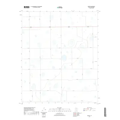
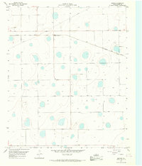 1965 Boothe1968 Print · USGSThe High Plains of Floyd County are captured in the mid-1960s, defined by the path of the QUANAH ACME AND PACIFIC railroad. Researchers can locate the small community of Boothe and the nearby settlement of Dougherty among dozens of distinct playa lakes.
 - 1986 Map of Lubbock
 1986 Lubbock1986 Print · USGSLubbock and the surrounding High Plains are documented in the mid-eighties as a structured grid of agricultural tracts and growing urban centers. Genealogists and local historians can trace family-named areas like Heckville, old rail stops on the Atchison Topeka and Santa Fe, and the winding path of Yellow House Canyon.2 unique versions available
 - 2010 Map of Boothe, 2010 Print
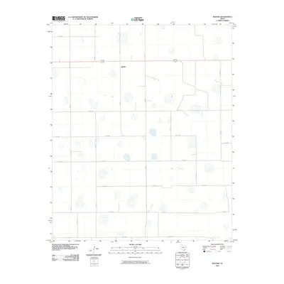 2010 Boothe2010 Print · USGSCovers Boothe, including Floyd County, United States, and other nearby areas
 - 2012 Map of Boothe, 2012 Print
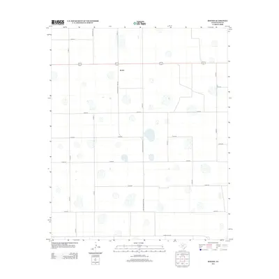 2012 Boothe2012 Print · USGSCovers Boothe, including Floyd County, United States, and other nearby areas
 - 2016 Map of Boothe, 2016 Print
 2016 Boothe2016 Print · USGSCovers Boothe, including Floyd County, United States, and other nearby areas
 - 2019 Map of Boothe, 2019 Print
 2019 Boothe2019 Print · USGSCovers Boothe, including Floyd County, United States, and other nearby areas
 - 2022 Map of Boothe, 2022 Print
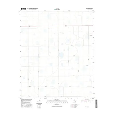
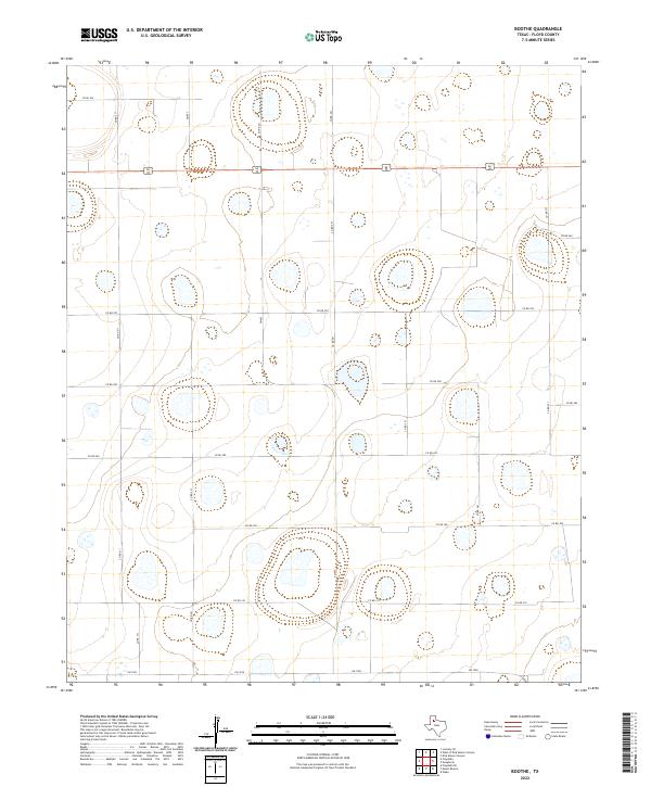 2022 Boothe2022 Print · USGSFloyd County's rural High Plains are captured here in the early twenty-first century, showcasing a landscape of vast agricultural sections and ephemeral playa lakes. Genealogists and local historians can trace the precise road grid through routes like US 62/70 and FM 602 or locate specific family landholdings along CO RD 300 and CO RD 241.
End of results
Showing maps 1-8 of 8
Top cities near Boothe
Frequently asked questions
- What are the different types of historical maps available for Boothe?
- What is the oldest map of Boothe?
- Where can I purchase historical maps of Boothe for my home or office?
- Where can I download high-res historical maps of Boothe?
- Are there historical topographic maps available for Boothe?
- Is there historical aerial imagery available for Boothe?
- Where are historical maps of Boothe sourced from?