Old Maps of Vacek Country Meadows, Fort Bend County for Academic Research
Study the evolution of Vacek Country Meadows with 16 high-resolution historic maps. Whether you're teaching, researching, or modeling changes in land use, these maps provide essential visual documentation of urban, environmental, and geographic change.
- Analyze long-term change: Track patterns in development, transportation, and natural features.
- Ideal for environmental or urban studies: Support academic projects with primary historical map data.
- Use in the classroom or lab: Educators and researchers rely on these maps to bring historical context to life.
These maps are a powerful tool for teaching, research, and visualizing how Vacek Country Meadows has changed over the decades.
Vacek Country Meadows, Fort Bend County maps
(16)- 1950 Map of Houston, 1953 Print
 1950 Houston1953 Print · USGSCoastal Texas in the early fifties reveals a landscape of massive civil engineering and industrial transit. Genealogists and researchers can trace the growth of the Houston suburbs and the maritime infrastructure of Galveston Bay, including the Gulf Freeway and the Texas City Dike.
 - 1953 Map of Needville, 1954 Print
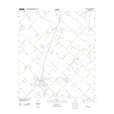
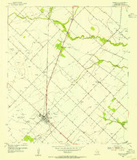 1953 Needville1954 Print · USGSFort Bend County's coastal prairie comes into sharp focus during the mid-century oil boom, showing a landscape transitioning from ranching to petroleum production. Trace family roots at Concord Cem or the Foster Sch (Aban'd), and see the early footprint of the Needville Oil Field.3 unique versions available
 - 1953 Map of Lake George, 1954 Print
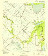 1953 Lake George1954 Print · USGSFort Bend County in the early fifties is captured here as an industrializing landscape of oil and sulphur extraction. Trace the development of the Big Creek Oil Field and Sulphur Field alongside the Long Point School and the rails of the Santa Fe.3 unique versions available
 - 1956 Map of Houston, 1963 Print
 1956 Houston1963 Print · USGSSoutheast Texas in the mid-fifties is captured here as a powerhouse of oil and maritime trade. Genealogists and historians can trace the foundations of Houston and its ports, alongside landmarks like the Rice Institute and the Spindletop Oil Field.2 unique versions available
 - 1975 Map of Houston, 1977 Print
 1975 Houston1977 Print · USGSThe Texas Gulf Coast in the mid-seventies shows a sprawling Houston metropolis linked to the sea by the massive Houston Ship Channel. Researchers can trace the mid-century industrial landscape from the Astrodome to the Lyndon B. Johnson Space Center.2 unique versions available
 - 1984 Map of Angleton
 1984 Angleton1984 Print · USGSThe Texas Gulf Coast in the mid-eighties shows a landscape of salt domes and bayous at the height of its oil-and-river economy. Researchers can trace land use through the Damon Mound Oil Field and the sprawling State Department of Corrections (Retrieve Unit).2 unique versions available
 - 2010 Map of Smithers Lake, 2010 Print
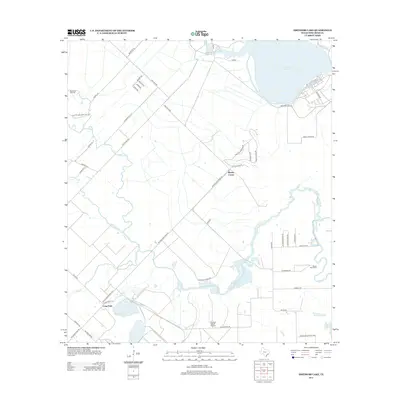
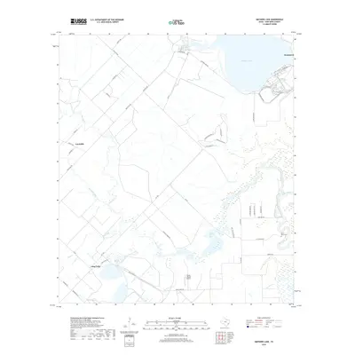
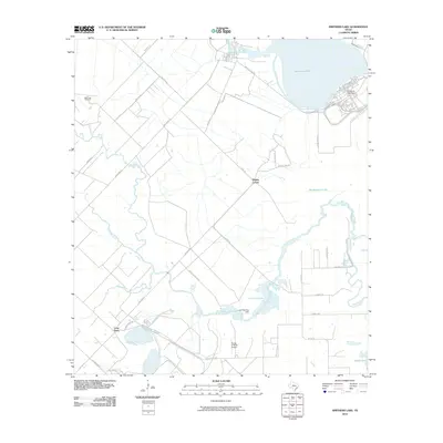 2010 Smithers Lake2010 Print · USGSCovers Vacek Country Meadows, including Fairchilds, Thompsons, and other nearby areas
 - 2010 Map of Needville, 2010 Print
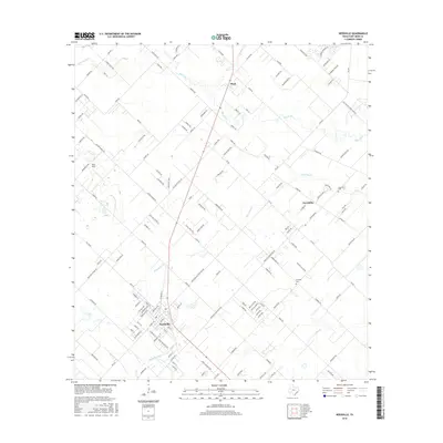
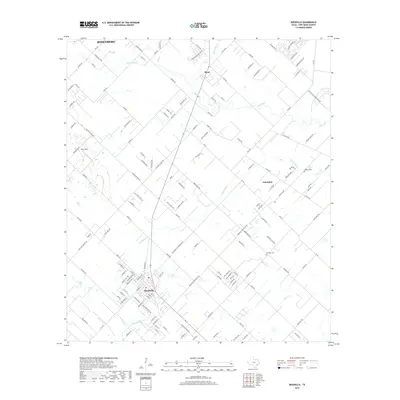
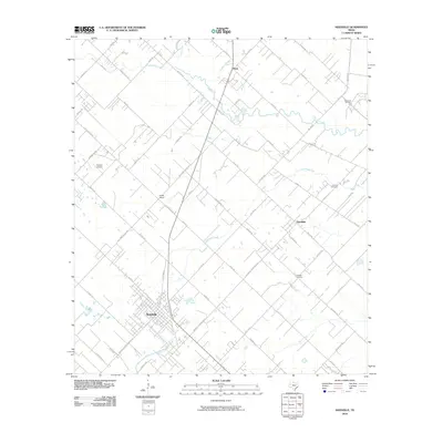 2010 Needville2010 Print · USGSCovers Vacek Country Meadows, including Rosenberg, Needville, and other nearby areas
 - 2013 Map of Needville, 2013 Print
 2013 Needville2013 Print · USGSCovers Vacek Country Meadows, including Rosenberg, Needville, and other nearby areas
 - 2013 Map of Smithers Lake, 2013 Print
 2013 Smithers Lake2013 Print · USGSCovers Vacek Country Meadows, including Fairchilds, Thompsons, and other nearby areas
 - 2016 Map of Smithers Lake, 2016 Print
 2016 Smithers Lake2016 Print · USGSCovers Vacek Country Meadows, including Fairchilds, Thompsons, and other nearby areas
 - 2016 Map of Needville, 2016 Print
 2016 Needville2016 Print · USGSCovers Vacek Country Meadows, including Rosenberg, Needville, and other nearby areas
 - 2019 Map of Smithers Lake, 2019 Print
 2019 Smithers Lake2019 Print · USGSCovers Vacek Country Meadows, including Fairchilds, Thompsons, and other nearby areas
 - 2019 Map of Needville, 2019 Print
 2019 Needville2019 Print · USGSCovers Vacek Country Meadows, including Rosenberg, Needville, and other nearby areas
 - 2022 Map of Needville, 2022 Print
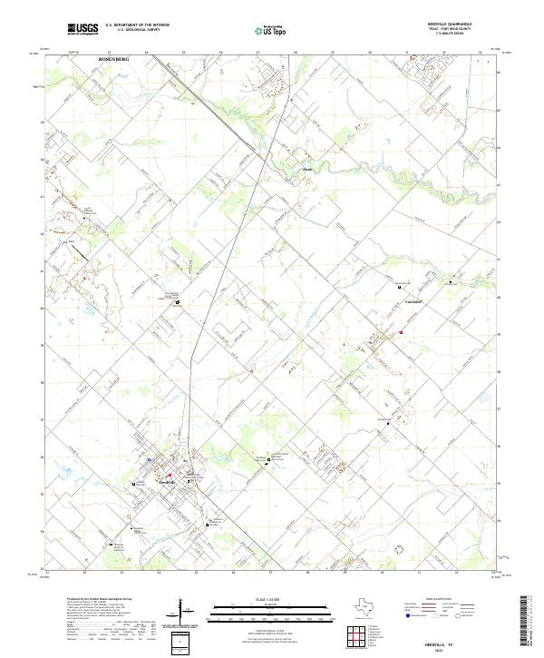 2022 Needville2022 Print · USGSThe rural landscape of Fort Bend County comes into focus in this recent survey of the area around Needville and Fairchilds. Genealogists will find an exceptional density of local landmarks, from the Mennonite Cem and Sitta Cem to the San Francisco Cementerio Sociedad.
 - 2022 Map of Smithers Lake, 2022 Print
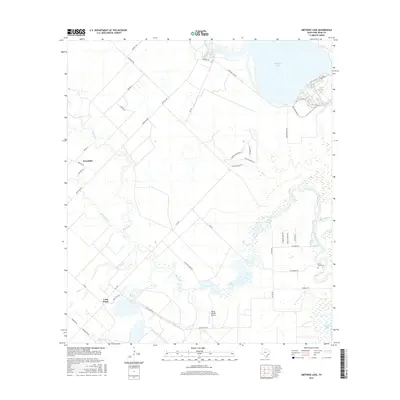
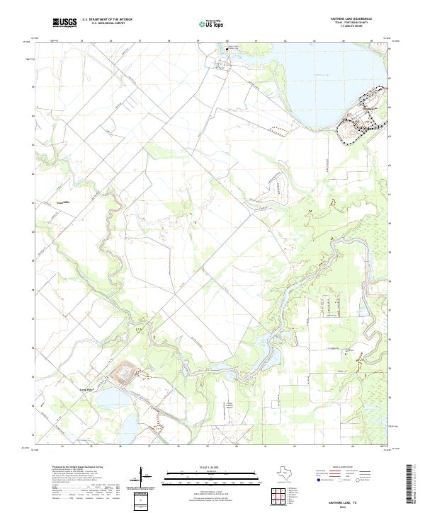 2022 Smithers Lake2022 Print · USGSFort Bend County's rural landscape is captured here in the early 2020s, showing a region shaped by winding waterways and long-standing family holdings. Trace local history through the Henry Jones Family Cem, the community of Fairchilds, or the shores of Smithers Lake.
End of results
Showing maps 1-16 of 16
Frequently asked questions
- What are the different types of historical maps available for Vacek Country Meadows?
- What is the oldest map of Vacek Country Meadows?
- Where can I purchase historical maps of Vacek Country Meadows for my home or office?
- Where can I download high-res historical maps of Vacek Country Meadows?
- Are there historical topographic maps available for Vacek Country Meadows?
- Is there historical aerial imagery available for Vacek Country Meadows?
- Where are historical maps of Vacek Country Meadows sourced from?