Old Maps of Lakeview, Texas for Academic Research
Study the evolution of Lakeview with 10 high-resolution historic maps. Whether you're teaching, researching, or modeling changes in land use, these maps provide essential visual documentation of urban, environmental, and geographic change.
- Analyze long-term change: Track patterns in development, transportation, and natural features.
- Ideal for environmental or urban studies: Support academic projects with primary historical map data.
- Use in the classroom or lab: Educators and researchers rely on these maps to bring historical context to life.
These maps are a powerful tool for teaching, research, and visualizing how Lakeview has changed over the decades.
Lakeview, TX maps
(10)- 1953 Map of Texarkana, 1964 Print
 1953 Texarkana1964 Print · USGSThe Texas-Arkansas borderlands are captured here in the mid-fifties, during a decade of massive military and hydraulic engineering projects. Genealogists and researchers can locate family landmarks like Old Boston Cem, Siloam Ch, and the vast Red River Arsenal.4 unique versions available
- 1956 Map of Texarkana
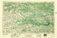 1956 Texarkana1956 Print · USGSThe Ark-La-Tex borderlands come alive in the mid-fifties, showing the transition from a rail-dependent rural economy to a post-war industrial landscape. Researchers can trace the massive Red River Ordnance Depot and find towns like Talco, Bogata, and Naples.
- 1964 Map of Hagansport, 1967 Print
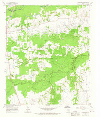 1964 Hagansport1967 Print · USGSFranklin County during the mid-sixties reveals a landscape shaped by the Talco Oil Field and the winding Sulphur River. Genealogists can locate community anchors like Hagansport, Prairie Academy Cem, and Mt Olive Ch.
- 1985 Map of Sulphur Springs
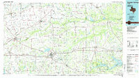 1985 Sulphur Springs1985 Print · USGSNortheast Texas in the mid-eighties shows a landscape transitioning between its deep-rooted rail towns and a new era of reservoir development. Genealogists and historians can trace family locations near Shooks Chapel, the rural Farmers Academy, and the banks of the South Sulphur River.
- 1991 Map of Sulphur Springs
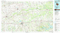 1991 Sulphur Springs1991 Print · USGSNortheast Texas in the early nineties shows a transition from rail-dependent agriculture to a landscape defined by massive reservoirs. Researchers can trace rural lineages through sites like Gafford Chapel and the Forest Academy Cem, or follow the path of the St Louis Southwestern RR.
- 2010 Map of Hagansport, 2010 Print
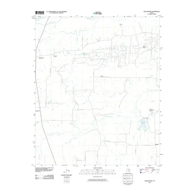 2010 Hagansport2010 Print · USGSNortheast Texas at the start of the 21st century is captured here in this survey of Franklin County rural life. Researchers can locate ancestral sites like Murphy Cemetery and Hagansport Cemetery or trace the winding course of the Sulphur River.
- 2013 Map of Hagansport, 2013 Print
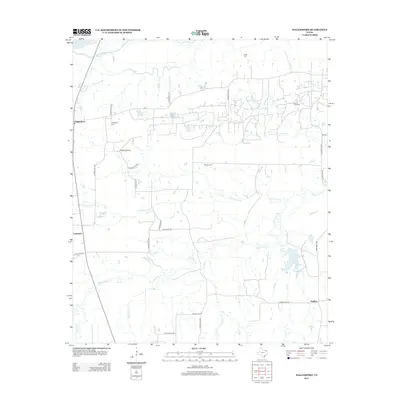 2013 Hagansport2013 Print · USGSNortheast Texas at the start of the 2010s reveals a rural landscape of tight-knit communities and family cemeteries near the Sulphur River. Researchers can locate ancestral sites like Prairie Acad Cemetery and trace the paths of White Oak Creek and FM-71.
- 2016 Map of Hagansport, 2016 Print
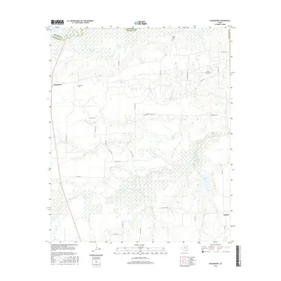 2016 Hagansport2016 Print · USGSFranklin County's rural landscape is captured here in the mid-2010s, centered on the community of Hagansport along the Sulphur River. Family historians can trace local roots at Wimms Family Cem, Prairie Academy Cem, or the namesake Hagansport Cem.
- 2019 Map of Hagansport, 2019 Print
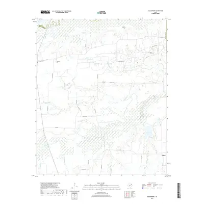 2019 Hagansport2019 Print · USGSFranklin County's rural landscape is captured here in the late twenty-teens, showing the area's transition from the Sulphur River bottomlands to upland farms. Genealogists can trace family roots at Wimms Family Cem, Hagansport Cem, and the old settlement of Daphne.
- 2022 Map of Hagansport, 2022 Print
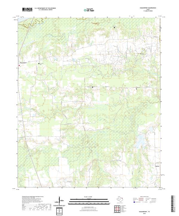 2022 Hagansport2022 Print · USGSFranklin County's wetland margins and rural road networks are documented here in the early twenty-first century. Genealogists can trace family heritage at Prairie Academy Cem and Hagansport Cem or locate old home sites near Daphne and Terry Lake.
End of results
Showing maps 1-10 of 10
Top cities near Lakeview
- Mount Vernon historical maps
- Bogata historical maps
- Talco historical maps
- Winfield historical maps
- Miller's Cove historical maps
Frequently asked questions
- What are the different types of historical maps available for Lakeview?
- What is the oldest map of Lakeview?
- Where can I purchase historical maps of Lakeview for my home or office?
- Where can I download high-res historical maps of Lakeview?
- Are there historical topographic maps available for Lakeview?
- Is there historical aerial imagery available for Lakeview?
- Where are historical maps of Lakeview sourced from?