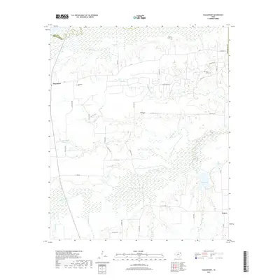
2019 Map of Hagansport
USGS Topo · Published 2019About this map
Hagansport and the lowlands of the Sulphur River define this corner of Franklin County. The landscape is characterized by a dense network of creek drainages, including White Oak Cr, Cobb Jones Cr, and Timber Cr, which feed into local catchments like Terry Lake and Romal Lake. For genealogists, the map is particularly valuable for its documentation of local burial sites, such as the Wimms Family Cem and the Prairie Academy Cem.
Find a feature on this map
36 named features on this map. Tap any name to fly to it.
Don’t see what you’re looking for? This feature index may not catch every label — zoom into the map to look around manually.
Map Details
Editions of this 2019 Hagansport Map
This is the sole edition of this map. No revisions or reprints were ever made.
Other maps of this area

1953 · Texarkana
USGS Topo · 1:250,000

1956 · Texarkana
USGS Topo · 1:250,000

1963 · Mitchell Creek
USGS Topo · 1:24,000

1963 · Cunningham
USGS Topo · 1:24,000

1964 · Mount Vernon
USGS Topo · 1:24,000

1964 · Cuthand
USGS Topo · 1:24,000

1964 · Saltillo
USGS Topo · 1:24,000

1964 · Talco
USGS Topo · 1:24,000

1964 · Hagansport
USGS Topo · 1:24,000

1964 · Bogata
USGS Topo · 1:24,000