Old Maps of Divot, Texas
Explore 13 old maps of Divot, spanning from 1942 to today. These high-resolution historic maps reveal how streets, neighborhoods, landmarks, and natural features evolved over time — perfect for genealogy, metal detecting, research, and local history exploration.
What you can do with these maps:
- See how Divot changed over time: Compare historical maps to modern-day views to trace roads, homesites, rail lines & more.
- View detailed metadata: Each map includes creators, publishers, year, scale, and archive source.
- Overlay maps with satellite & LiDAR: Visualize the past alongside modern tools to explore terrain & human change.
- Trusted historical sources: Maps sourced from the USGS, Library of Congress, and other archives.
- Access maps your way: View online, download high-res files, or order prints for personal or research use.
Start exploring old maps of Divot to uncover forgotten places, hidden landmarks, and the deep history beneath your feet.
Divot, TX maps
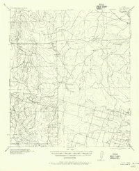
(13)- 1942 Map of Divot
 1942 Divot1942 Print · USGSThe cattle country of South Texas comes into focus in the early 1940s, where the Frio and Leona rivers meet amidst a network of large family ranches. Genealogists and historians can locate legacy holdings like Roberts Ranch and Rogers Ranch, or trace water sources like Berry Crossing and the Crawford Windmills.
 - 1953 Map of Crystal City
 1953 Crystal City1953 Print · USGSSouth Texas in the early fifties was a landscape of expanding oil fields and vital rail connections. Genealogists and researchers can trace family lands along the Nueces River or locate heritage sites in Asherton, Big Wells, and Batesville.
 - 1955 Map of Crystal City, 1976 Print
 1955 Crystal City1976 Print · USGSSouth Texas ranching and oil country come into focus in the mid-fifties as the rail lines and rivers connect growing hubs. Researchers can trace the development of energy fields like Washburn Oil Field or locate historic settlements from Asherton to Three Rivers.
 - 1956 Map of Divot
 1956 Divot1956 Print · USGSRanching life on the Frio County line during the mid-twentieth century centers on scattered homesteads and vital river crossings. Researchers can locate family landmarks such as Higdon Ranch and Rogers Ranch or trace early water infrastructure at Division Tank.
 - 1961 Map of Crystal City
 1961 Crystal City1961 Print · USGSSouth Texas in the early sixties reveals a landscape of massive cattle ranches and emerging oil fields. Genealogists and historians can trace the Missouri Pacific rail lines through Crystal City, or locate water features like Espantosa Lake and Boynton Reservoir.
 - 1968 Map of Crystal City
 1968 Crystal City1968 Print · USGSSouth Texas in the late sixties reveals a landscape shaped by ranching roots and the vital waters of the Nueces River. Researchers can trace the rail-driven growth of Crystal City or locate landmarks like Pilot Knob and Espantosa Lake.
 - 1974 Map of Divot, 1977 Print
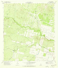 1974 Divot1977 Print · USGSSouth Texas ranching and oil operations are captured in detail here during the mid-1970s. Local researchers can trace the drainage of the Leona River and locate family-named landmarks like Parks Corner Windmill and the settlement of Divot.
 - 1985 Map of Crystal City
 1985 Crystal City1985 Print · USGSThe Texas Winter Garden region comes into focus during the mid-1980s, detailing a landscape of irrigation, energy, and rail. Genealogists and researchers can trace lineage through rural centers like Big Wells, Winter Haven, and Loma Vista or locate early industrial sites such as the Big Wells Oil Field.2 unique versions available
 - 2010 Map of Divot, 2010 Print
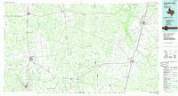
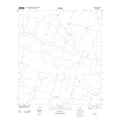
 2010 Divot2010 Print · USGSCovers Divot, including Parks Corner Windmill, Frio County, and other nearby areas
 - 2013 Map of Divot, 2013 Print
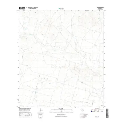
 2013 Divot2013 Print · USGSCovers Divot, including Parks Corner Windmill, Frio County, and other nearby areas
 - 2016 Map of Divot, 2016 Print
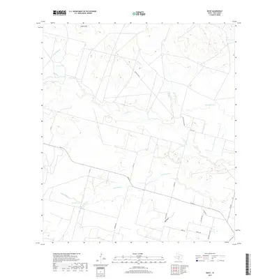
 2016 Divot2016 Print · USGSCovers Divot, including Parks Corner Windmill, Frio County, and other nearby areas
 - 2019 Map of Divot, 2019 Print
 2019 Divot2019 Print · USGSCovers Divot, including Parks Corner Windmill, Frio County, and other nearby areas
 - 2022 Map of Divot, 2022 Print
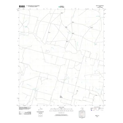
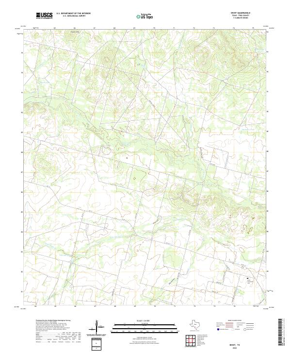 2022 Divot2022 Print · USGSRanching lands in Frio County are captured here in the early twenty-first century, centered on the Leona River drainage. Genealogists and historians can locate the Divot Community Cem and trace old routes like the Old Divot Hwy and Birdwell Rd.
End of results
Showing maps 1-13 of 13
Top cities near Divot
Frequently asked questions
- What are the different types of historical maps available for Divot?
- What is the oldest map of Divot?
- Where can I purchase historical maps of Divot for my home or office?
- Where can I download high-res historical maps of Divot?
- Are there historical topographic maps available for Divot?
- Is there historical aerial imagery available for Divot?
- Where are historical maps of Divot sourced from?