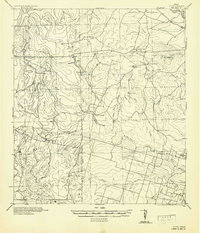
1942 Map of Divot
USGS Topo · Published 1942About this map
The Frio River and Leona River converge in this brush country landscape, defining a region dominated by large family holdings and cattle ranching during the early 1940s. The settlement of Divot serves as a small anchor in the southeast, while the surrounding terrain is marked by an extensive network of named ranches, including Roberts Ranch, Trebes Ranch, and Powell Ranch. These ranching operations relied on localized water infrastructure, evidenced by numerous tanks such as Division Tank and Devils Tank, as well as the Crawford Windmills.
Find a feature on this map
37 named features on this map. Tap any name to fly to it.
Don’t see what you’re looking for? This feature index may not catch every label — zoom into the map to look around manually.
Map Details
Editions of this 1942 Divot Map
This is the sole edition of this map. No revisions or reprints were ever made.
Other maps of this area
1898 · Uvalde
USGS Topo · 1:125,000
1899 · Uvalde
USGS Topo · 1:125,000
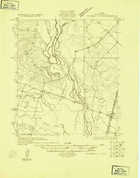
1925 · Pearsall 1-b
USGS Topo · 1:48,000
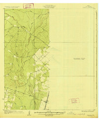
1925 · Pearsall 1-c
USGS Topo · 1:48,000
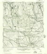
1927 · Pearsall
USGS Topo · 1:62,500
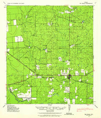
1928 · Frio Town
USGS Topo · 1:62,500
1939 · Big Wells
USGS Topo · 1:62,500
1942 · Dilley
USGS Topo · 1:62,500
1953 · Crystal City
USGS Topo · 1:250,000

1954 · San Antonio
USGS Topo · 1:250,000