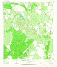
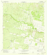
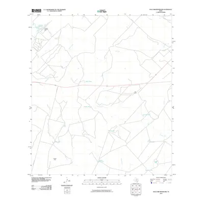
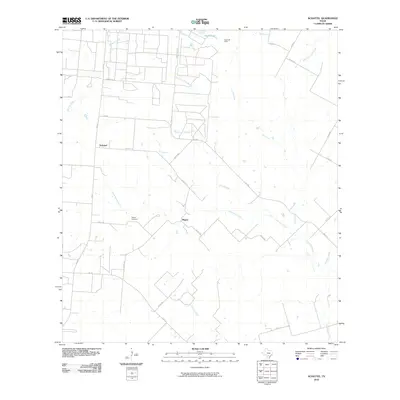
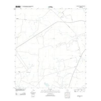
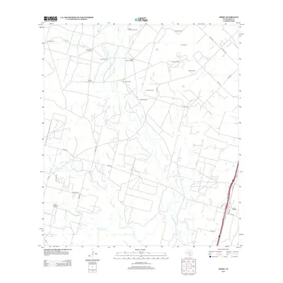
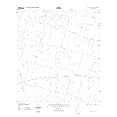
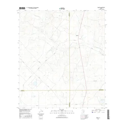
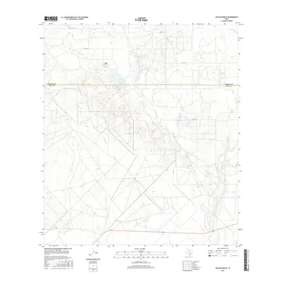
1925 Map of Pearsall 1-c
USGS Topo · Published 1925About this map
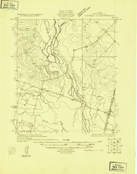
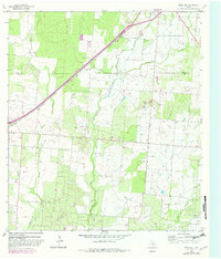
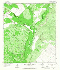
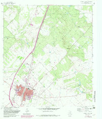
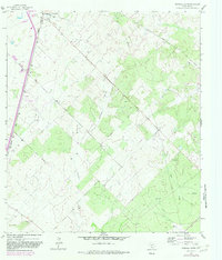
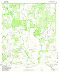
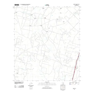
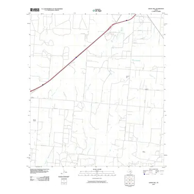
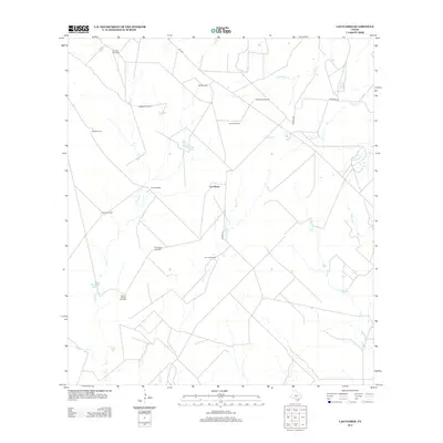
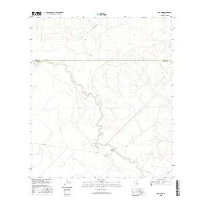
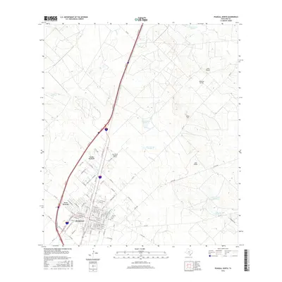
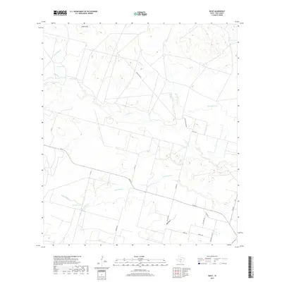
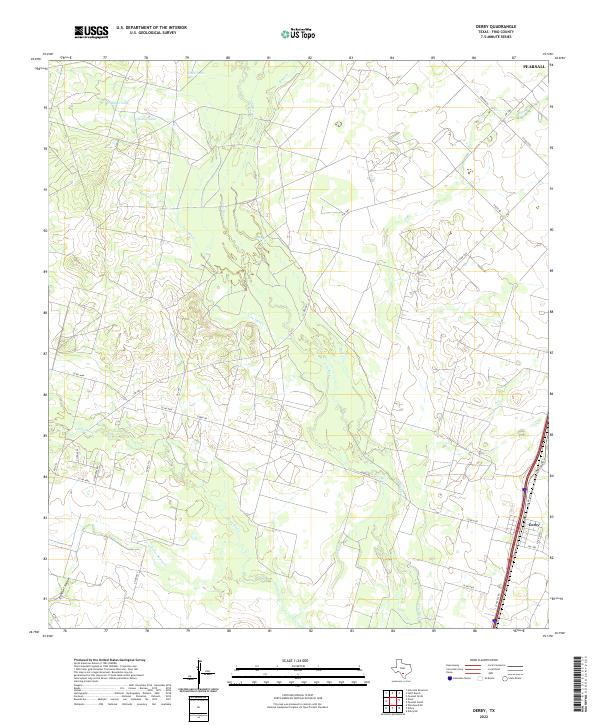
The Frio River snakes through the center of this 1925 survey, defining a landscape dominated by river drainage systems in Southern Texas. The confluence of several significant water bodies, including the Leona River and Palo Blanco Creek, creates a complex hydrological network that shaped early land use in the area. This sheet is an advance copy produced by the U.S. Geological Survey and the Texas Board of Water Engineers, utilizing aerial photography from the Army Air Service to capture the precise meandering of Buck Creek and Todos Santos Creek. Near the southeastern corner, the settlement of Derby serves as a primary hub of activity, situated along the International and Great Northern Jeff Davis Highway. The map provides a look at the region's topography before modern development, recording numerous benchmark elevations like BM 620 and BM 518 that anchored early 20th-century surveying efforts.
Find a feature on this map
11 named features on this map. Tap any name to fly to it.
Don’t see what you’re looking for? This feature index may not catch every label — zoom into the map to look around manually.
Map Details
Editions of this 1925 Pearsall 1-c Map
This is the sole edition of this map. No revisions or reprints were ever made.
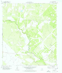
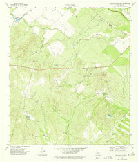
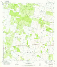
Historical Maps of Pearsall Through Time
107 maps found

1925 Pearsall 1-b
Frio County, TX
1925 Pearsall 1-c
Frio County, TX
1934 Schattel
Frio County, TX

1942 Divot
Frio County, TX
1956 Divot
Frio County, TX
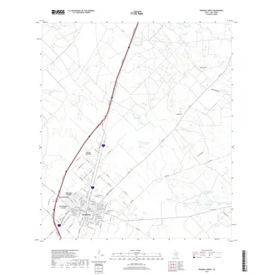
1964 Derby
Frio County, TX
1964 Ghost Hill
Frio County, TX
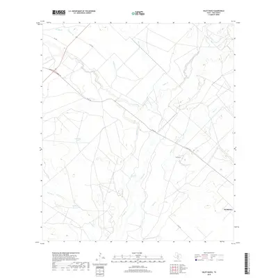
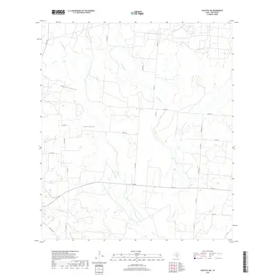
1964 Halff Ranch
Frio County, TX
1964 Pearsall North
Frio County, TX
1964 Pearsall South
Frio County, TX
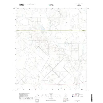
1964 Wilson Ranch
Frio County, TX
1968 Goldfinch
Frio County, TX
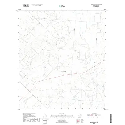
1968 Keystone Ranch
Frio County, TX
1968 Schattel
Frio County, TX
1968 Schattel NW
Frio County, TX
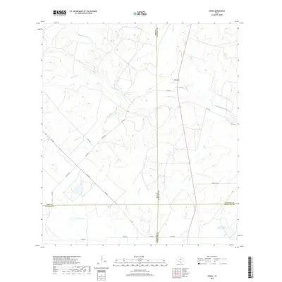
1969 Hindes
Frio County, TX
1969 Las Flores
Frio County, TX
1974 Dilley NE
Frio County, TX
1974 Divot
Frio County, TX
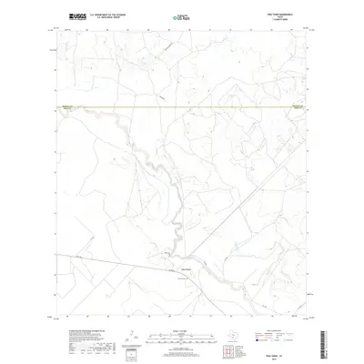
1974 Frio Town
Frio County, TX
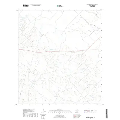
1974 Holcomb Reservoir
Frio County, TX
1974 Woodward NE
Frio County, TX
2010 Derby
Frio County, TX
2010 Dilley NE
Frio County, TX
2010 Divot
Frio County, TX
2010 Frio Town
Frio County, TX
2010 Ghost Hill
Frio County, TX
2010 Goldfinch
Frio County, TX
2010 Halff Ranch
Frio County, TX
2010 Hindes
Frio County, TX
2010 Holcomb Reservoir
Frio County, TX
2010 Keystone Ranch
Frio County, TX
2010 Las Flores
Frio County, TX
2010 Pearsall North
Frio County, TX

2010 Pearsall South
Frio County, TX
2010 Schattel
Frio County, TX
2010 Schattel NW
Frio County, TX
2010 Wilson Ranch
Frio County, TX
2010 Woodward NE
Frio County, TX
2012 Goldfinch
Frio County, TX
2012 Keystone Ranch
Frio County, TX
2012 Schattel
Frio County, TX
2012 Schattel NW
Frio County, TX
2013 Derby
Frio County, TX
2013 Dilley NE
Frio County, TX
2013 Divot
Frio County, TX
2013 Frio Town
Frio County, TX
2013 Ghost Hill
Frio County, TX
2013 Halff Ranch
Frio County, TX
2013 Hindes
Frio County, TX
2013 Holcomb Reservoir
Frio County, TX
2013 Las Flores
Frio County, TX
2013 Pearsall North
Frio County, TX
2013 Pearsall South
Frio County, TX
2013 Wilson Ranch
Frio County, TX
2013 Woodward NE
Frio County, TX
2016 Derby
Frio County, TX
2016 Dilley NE
Frio County, TX
2016 Divot
Frio County, TX
2016 Frio Town
Frio County, TX
2016 Ghost Hill
Frio County, TX
2016 Goldfinch
Frio County, TX
2016 Halff Ranch
Frio County, TX
2016 Hindes
Frio County, TX
2016 Holcomb Reservoir
Frio County, TX
2016 Keystone Ranch
Frio County, TX
2016 Las Flores
Frio County, TX
2016 Pearsall North
Frio County, TX
2016 Pearsall South
Frio County, TX
2016 Schattel
Frio County, TX
2016 Schattel NW
Frio County, TX
2016 Wilson Ranch
Frio County, TX
2016 Woodward NE
Frio County, TX
2019 Derby
Frio County, TX
2019 Dilley NE
Frio County, TX
2019 Divot
Frio County, TX
2019 Frio Town
Frio County, TX
2019 Ghost Hill
Frio County, TX
2019 Goldfinch
Frio County, TX
2019 Halff Ranch
Frio County, TX
2019 Hindes
Frio County, TX
2019 Holcomb Reservoir
Frio County, TX
2019 Keystone Ranch
Frio County, TX
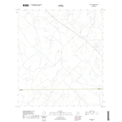
2019 Las Flores
Frio County, TX
2019 Pearsall North
Frio County, TX
2019 Pearsall South
Frio County, TX
2019 Schattel
Frio County, TX
2019 Schattel NW
Frio County, TX
2019 Wilson Ranch
Frio County, TX
2019 Woodward NE
Frio County, TX
2022 Derby
Frio County, TX
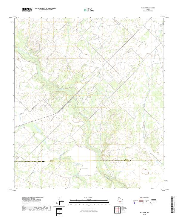
2022 Dilley NE
Frio County, TX
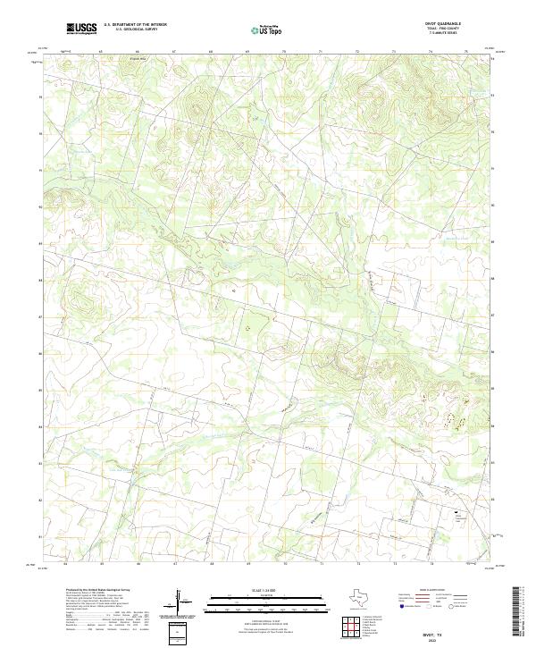
2022 Divot
Frio County, TX
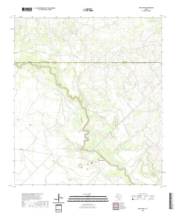
2022 Frio Town
Frio County, TX
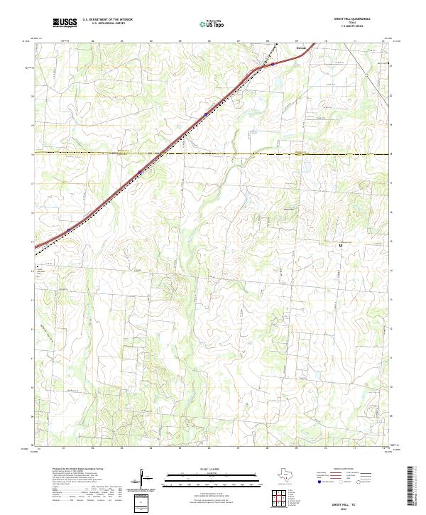
2022 Ghost Hill
Frio County, TX
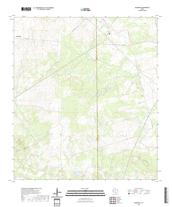
2022 Goldfinch
Frio County, TX
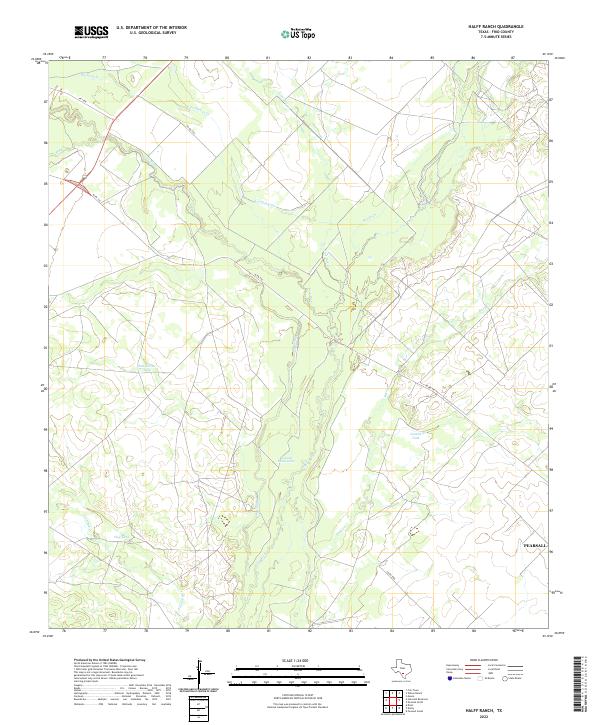
2022 Halff Ranch
Frio County, TX
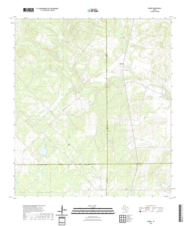
2022 Hindes
Frio County, TX
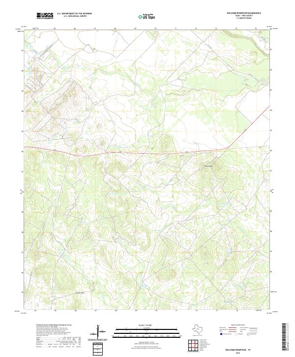
2022 Holcomb Reservoir
Frio County, TX
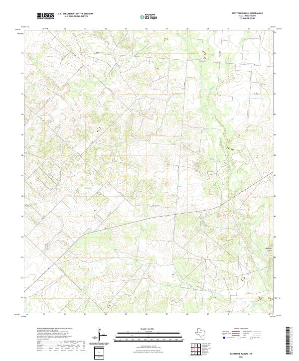
2022 Keystone Ranch
Frio County, TX

2022 Las Flores
Frio County, TX
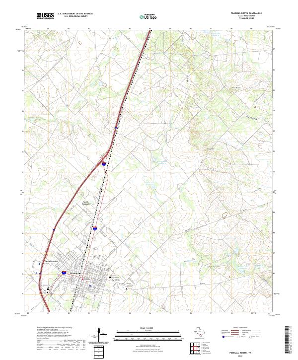
2022 Pearsall North
Frio County, TX
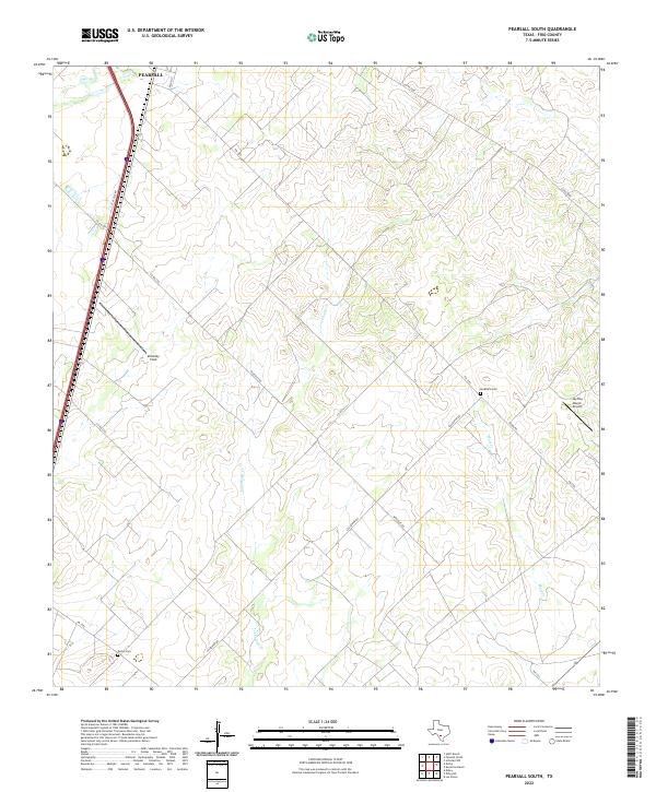
2022 Pearsall South
Frio County, TX
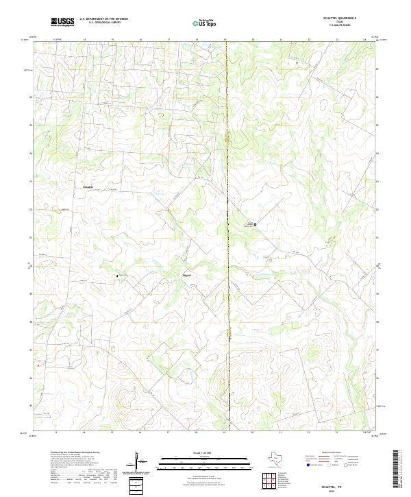
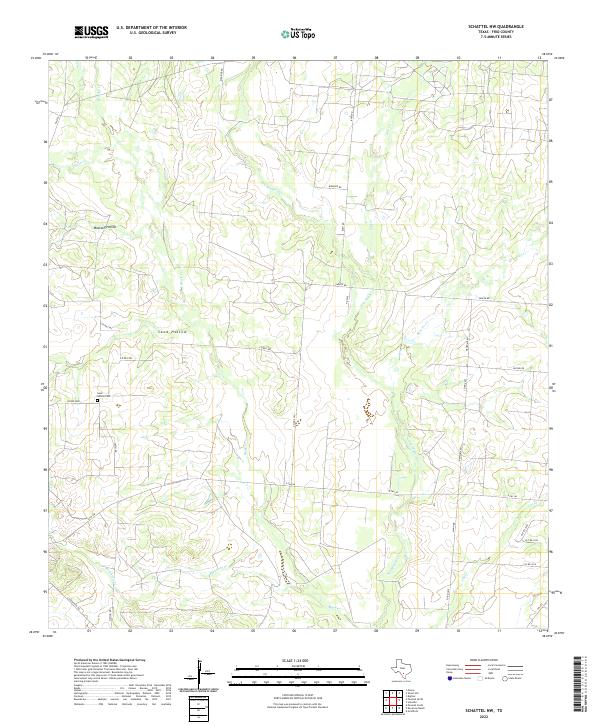
2022 Schattel
Frio County, TX
2022 Schattel NW
Frio County, TX
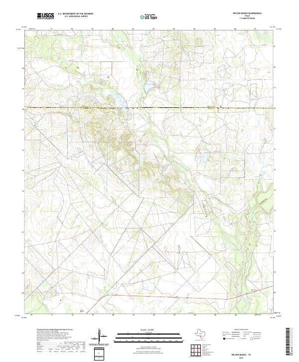
2022 Wilson Ranch
Frio County, TX
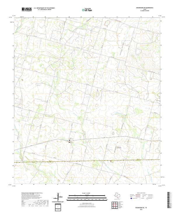
2022 Woodward NE
Frio County, TX