
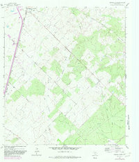
1964 Map of Pearsall South
USGS Topo · Published 1966About this map
Oil production and ranching define this landscape south of Pearsall, where the Missouri Pacific railroad corridor runs parallel to the highway. The terrain is marked by a network of windmills such as the Prairie Windmill and Shiner Windmill, essential for water management in the Brush Country of Frio County. Small aviation is also prominent, with both the McKinley Landing Strip and Jay-Kay Landing Strip serving local needs alongside a Drive-in Theater located on the outskirts of the town.
Find a feature on this map
19 named features on this map. Tap any name to fly to it.
Don’t see what you’re looking for? This feature index may not catch every label — zoom into the map to look around manually.
Map Details
Editions of this 1964 Pearsall South Map
2 editions found
Other maps of this area

1925 · Pearsall 1-b
USGS Topo · 1:48,000

1925 · Pearsall 1-c
USGS Topo · 1:48,000

1927 · Pearsall
USGS Topo · 1:62,500

1934 · Schattel
USGS Topo · 1:62,500

1942 · Dilley
USGS Topo · 1:62,500

1953 · Crystal City
USGS Topo · 1:250,000

1955 · Crystal City
USGS Topo · 1:250,000

1956 · Hindes
USGS Topo · 1:62,500

1961 · Crystal City
USGS Topo · 1:250,000
1964 · Pearsall North
USGS Topo · 1:24,000