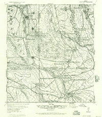
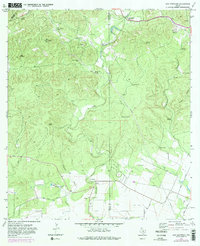
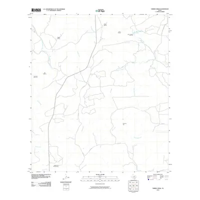
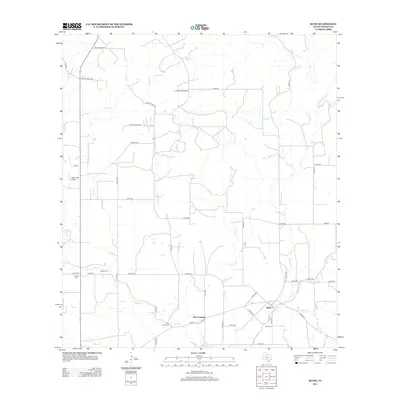
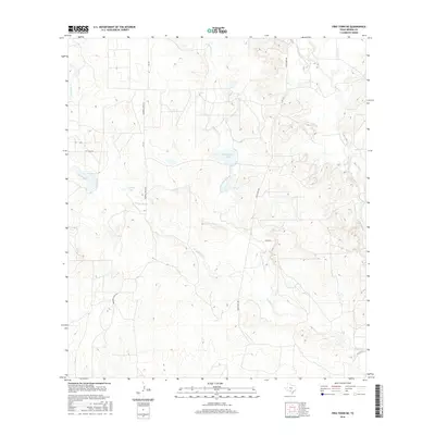
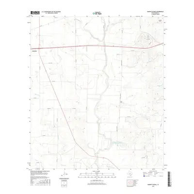
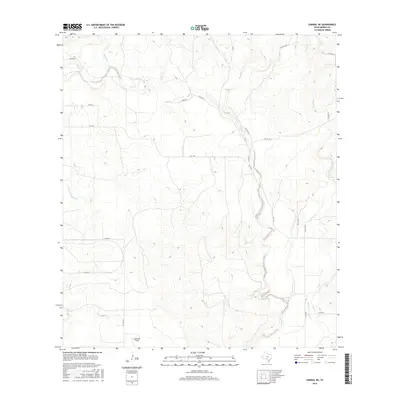
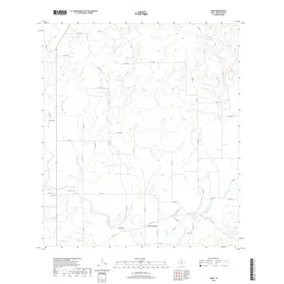
1928 Map of Frio Town
USGS Topo · Published 1956About this map
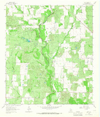
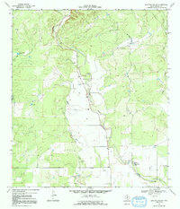
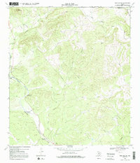
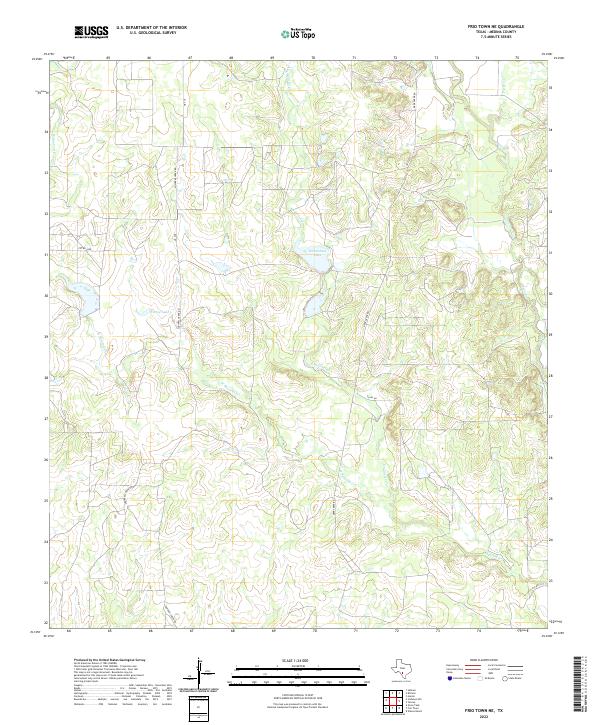
Frio Town stands as the central hub of this South Texas landscape, where the Frio River and Sabinal River converge amidst a network of established cattle operations. Revised from earlier military sheets by the Eighth Corps Area, the map captures a period when ranch life was defined by the accessibility of water and the orientation of transit routes. Named family holdings like the Schuddemagen Ranch, Virgil Johnson Ranch, and the three distinct properties of Ed Blackaller, Lou Blackaller, and Blackaller Ranch dominate the topography. The reliance on seasonal water sources is evident through numerous labels for waterholes and a Bushwhacker Waterhole, while the Elm Pens Blackaller suggests the working infrastructure of the regional livestock industry. A sparse network of dirt roads, including the D'Hanis Frio Town Road, connects these remote outposts across the Uvalde and Medina lines.
Find a feature on this map
36 named features on this map. Tap any name to fly to it.
Don’t see what you’re looking for? This feature index may not catch every label — zoom into the map to look around manually.
Map Details
Editions of this 1928 Frio Town Map
This is the sole edition of this map. No revisions or reprints were ever made.
Historical Maps of Frio Town Through Time
87 maps found
1928 Frio Town
Medina County, TX
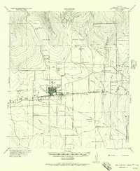
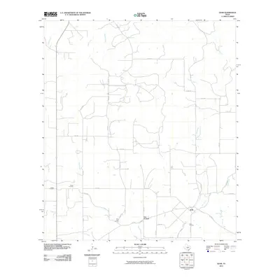
1956 New Fountain
Medina County, TX
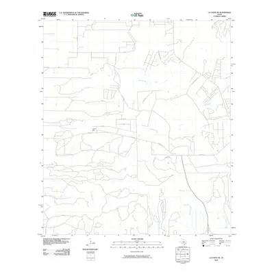
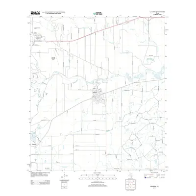
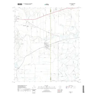
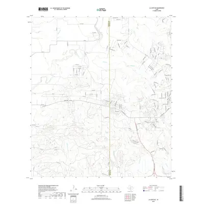
1958 La Coste
Medina County, TX
1958 La Coste NE
Medina County, TX
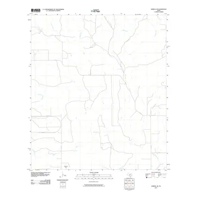
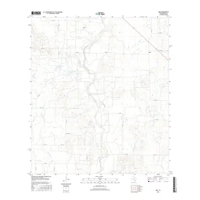
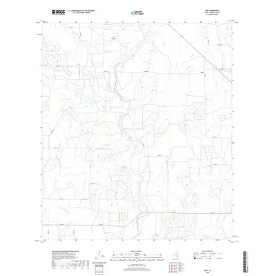
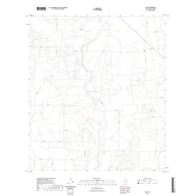
1964 Biry
Medina County, TX
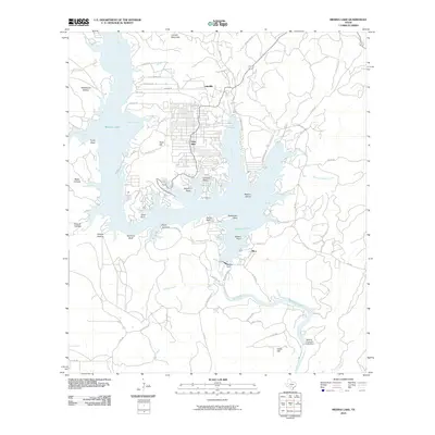
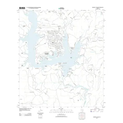
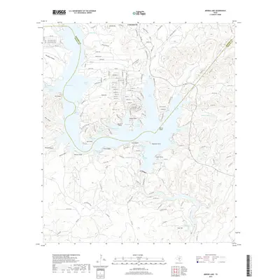
1964 Medina Lake
Medina County, TX
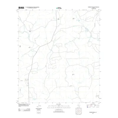
1964 Riomedina
Medina County, TX
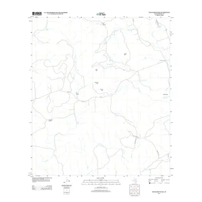
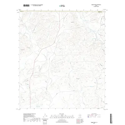
1964 Timber Creek
Medina County, TX
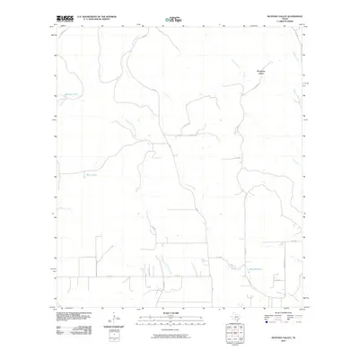
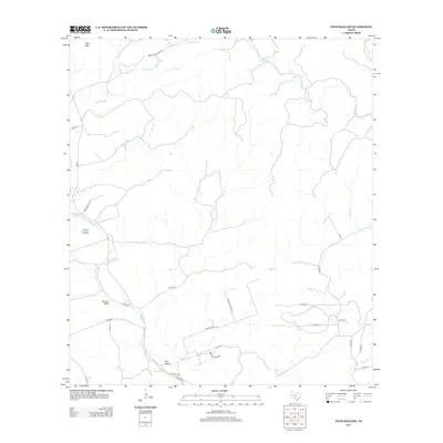
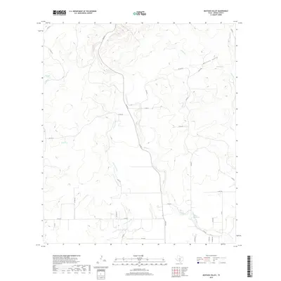
1969 Mustang Valley
Medina County, TX
1969 Quihi
Medina County, TX
1969 Sabinal NE
Medina County, TX
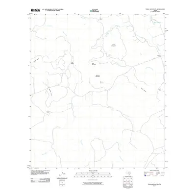
1969 Texas Mountain
Medina County, TX
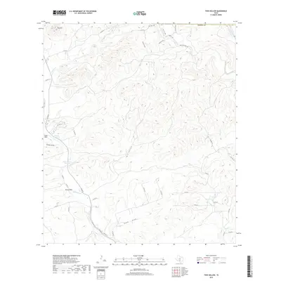
1969 Twin Hollow
Medina County, TX
1970 D'hanis
Medina County, TX
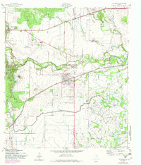
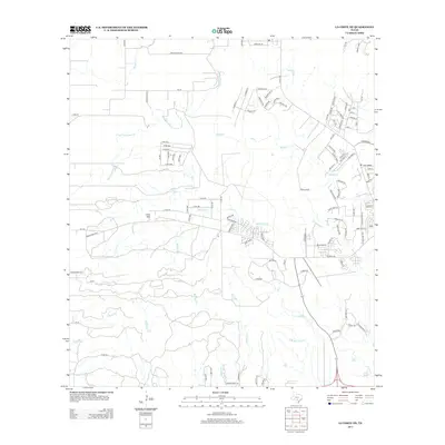
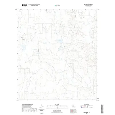
1970 Frio Town NE
Medina County, TX
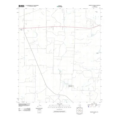
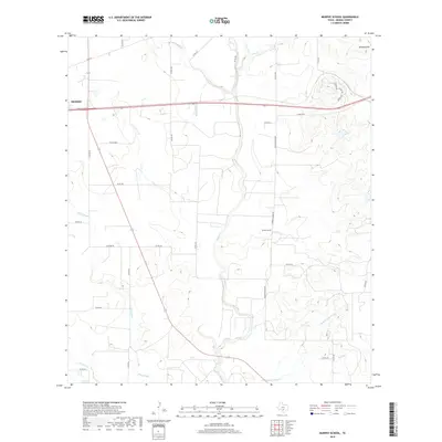
1970 Murphy School
Medina County, TX
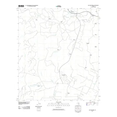
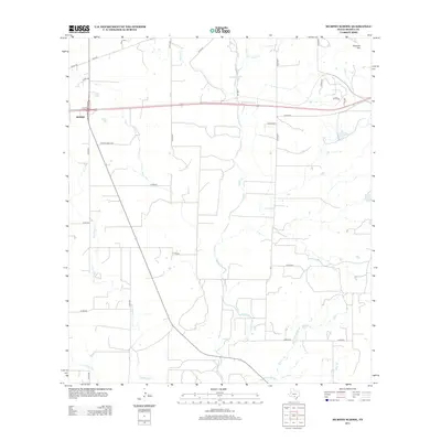
1970 San Geronimo
Medina County, TX
2010 Biry
Medina County, TX
2010 Frio Town NE
Medina County, TX
2010 La Coste
Medina County, TX
2010 La Coste NE
Medina County, TX
2010 Medina Lake
Medina County, TX
2010 Murphy School
Medina County, TX
2010 Mustang Valley
Medina County, TX
2010 Quihi
Medina County, TX

2010 Riomedina
Medina County, TX
2010 Sabinal NE
Medina County, TX
2010 San Geronimo
Medina County, TX
2010 Texas Mountain
Medina County, TX
2010 Timber Creek
Medina County, TX
2010 Twin Hollow
Medina County, TX

2012 Biry
Medina County, TX
2012 Frio Town NE
Medina County, TX
2012 Mustang Valley
Medina County, TX
2013 La Coste
Medina County, TX
2013 La Coste NE
Medina County, TX
2013 Medina Lake
Medina County, TX
2013 Murphy School
Medina County, TX
2013 Quihi
Medina County, TX
2013 Riomedina
Medina County, TX
2013 Sabinal NE
Medina County, TX
2013 San Geronimo
Medina County, TX
2013 Texas Mountain
Medina County, TX
2013 Timber Creek
Medina County, TX
2013 Twin Hollow
Medina County, TX
2016 Biry
Medina County, TX
2016 Frio Town NE
Medina County, TX
2016 La Coste
Medina County, TX
2016 La Coste NE
Medina County, TX
2016 Medina Lake
Medina County, TX
2016 Murphy School
Medina County, TX
2016 Mustang Valley
Medina County, TX
2016 Quihi
Medina County, TX
2016 Riomedina
Medina County, TX
2016 Sabinal NE
Medina County, TX
2016 San Geronimo
Medina County, TX
2016 Texas Mountain
Medina County, TX
2016 Timber Creek
Medina County, TX
2016 Twin Hollow
Medina County, TX
2019 Biry
Medina County, TX
2019 Frio Town NE
Medina County, TX
2019 La Coste
Medina County, TX
2019 La Coste NE
Medina County, TX
2019 Medina Lake
Medina County, TX
2019 Murphy School
Medina County, TX
2019 Mustang Valley
Medina County, TX
2019 Quihi
Medina County, TX
2019 Riomedina
Medina County, TX
2019 Sabinal NE
Medina County, TX
2019 San Geronimo
Medina County, TX

2019 Texas Mountain
Medina County, TX
2019 Timber Creek
Medina County, TX
2019 Twin Hollow
Medina County, TX
2022 Biry
Medina County, TX
2022 Frio Town NE
Medina County, TX
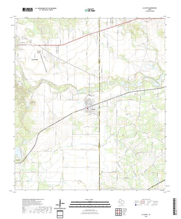
2022 La Coste
Medina County, TX
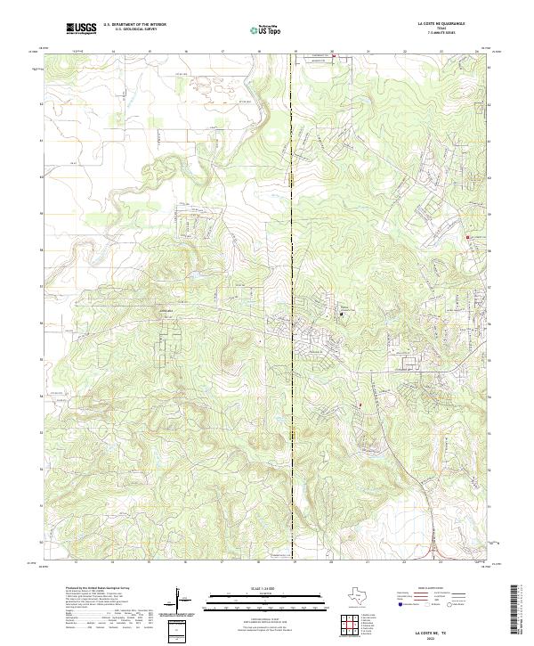
2022 La Coste NE
Medina County, TX
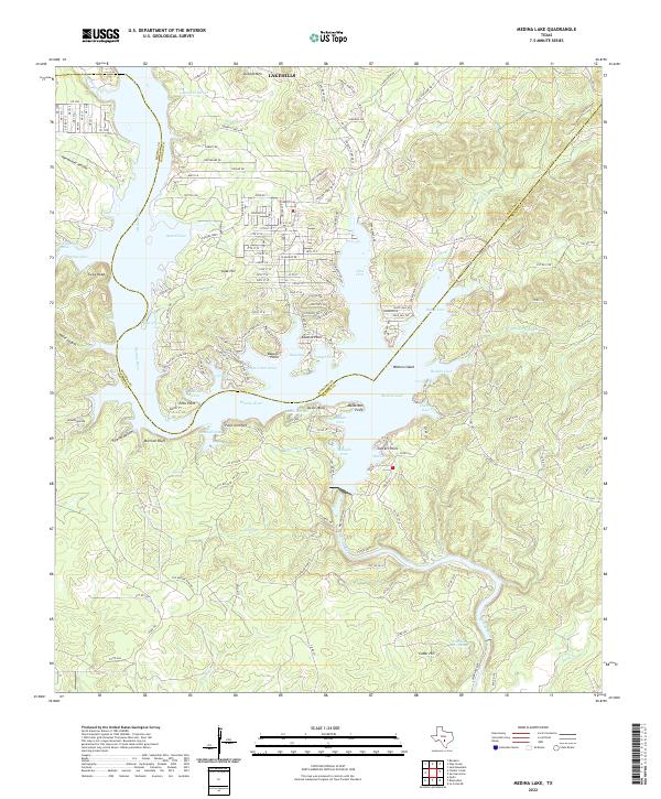
2022 Medina Lake
Medina County, TX
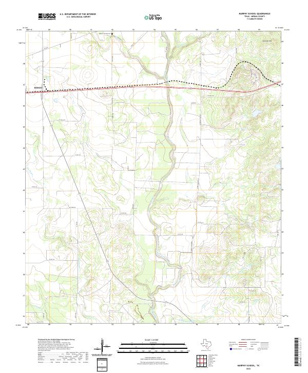
2022 Murphy School
Medina County, TX
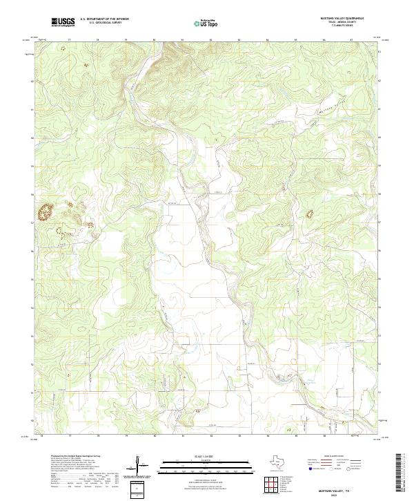
2022 Mustang Valley
Medina County, TX
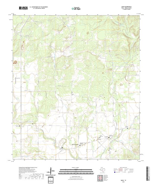
2022 Quihi
Medina County, TX
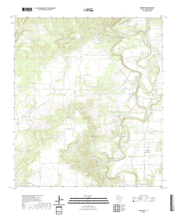
2022 Riomedina
Medina County, TX
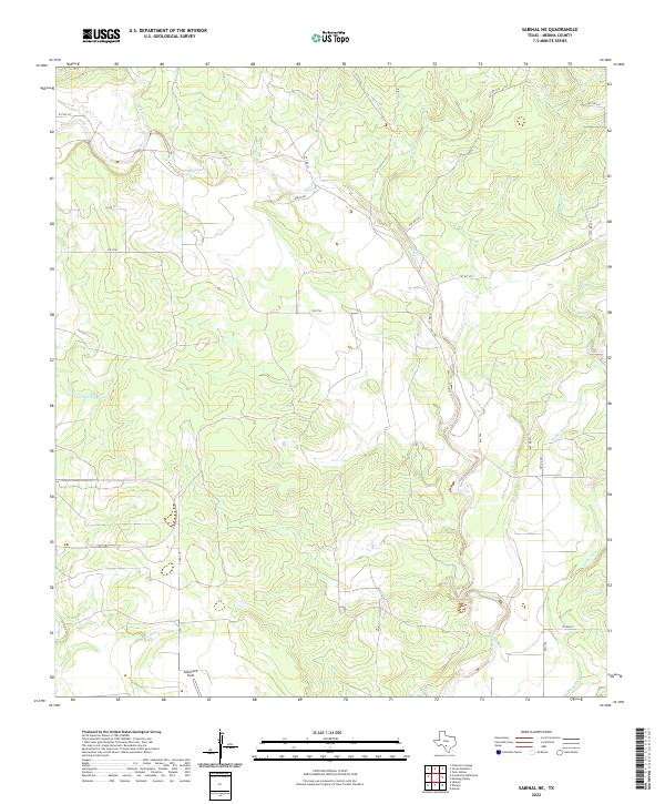
2022 Sabinal NE
Medina County, TX
2022 San Geronimo
Medina County, TX
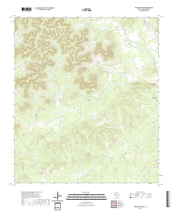
2022 Texas Mountain
Medina County, TX
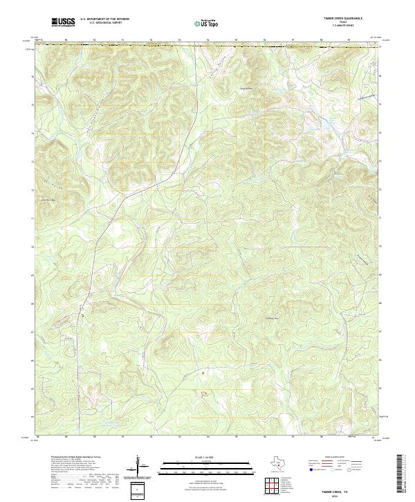
2022 Timber Creek
Medina County, TX
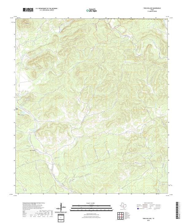
2022 Twin Hollow
Medina County, TX