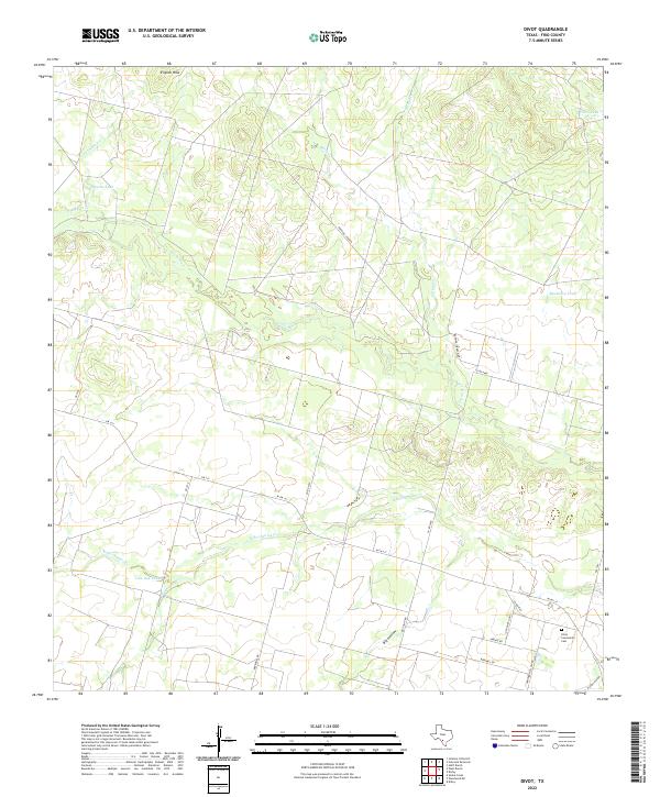
2022 Map of Divot
USGS Topo · Published 2022About this map
The Leona River meanders southeastward through this Frio County landscape, defining a terrain shaped by wide drainage basins and scattered livestock tanks. To the southeast, the Divot Community Cem stands as a focal point for local genealogy, situated near the intersection of Old Divot Hwy and W FM 117. The map illustrates a rural Texas economy centered on ranching operations like the Rocking S Ranch, which is served by its own private road network.
Find a feature on this map
31 named features on this map. Tap any name to fly to it.
Don’t see what you’re looking for? This feature index may not catch every label — zoom into the map to look around manually.
Map Details
Editions of this 2022 Divot Map
This is the sole edition of this map. No revisions or reprints were ever made.
Other maps of this area

1925 · Pearsall 1-b
USGS Topo · 1:48,000

1925 · Pearsall 1-c
USGS Topo · 1:48,000

1927 · Pearsall
USGS Topo · 1:62,500

1942 · Divot
USGS Topo · 1:62,500

1942 · Dilley
USGS Topo · 1:62,500

1953 · Crystal City
USGS Topo · 1:250,000

1955 · Crystal City
USGS Topo · 1:250,000

1956 · Woodward
USGS Topo · 1:62,500

1956 · Divot
USGS Topo · 1:62,500

1961 · Crystal City
USGS Topo · 1:250,000