2000s (21st Century) Maps of Patton Woods, Texas
Explore 6 historic maps of Patton Woods from the 2000s (21st Century). These maps offer a rare glimpse into what life looked like during the 2000s — showing old roads, neighborhoods, homes, and landmarks that have changed or disappeared over time.
Whether you're researching your family's past, planning a metal detecting trip, or studying how Patton Woods's landscape evolved across the 2000s, these high-resolution maps are a powerful tool for exploring the history of this region.
- Focus on a specific era: All maps on this page are from the 2000s, giving you a focused view of this time period.
- See what’s changed: Compare century-old streets, trails, and buildings to today's modern landscape using overlays and satellite layers.
- Research with precision: Use these maps for genealogy, historical research, land use analysis, or educational projects.
- View, download, or print: Maps are fully viewable online in high resolution, and can be downloaded or printed for your own records.
Start exploring Patton Woods's history through authentic maps from the 2000s. This is your window into the past.
Patton Woods, TX maps
(6)- 2010 Map of Flake, 2010 Print
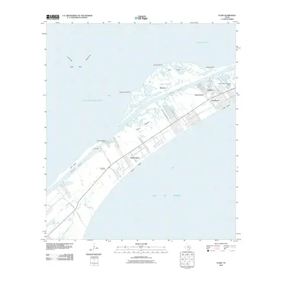 2010 Flake2010 Print · USGSCovers Patton Woods, including Galveston, Texas City, and other nearby areas
 - 2013 Map of Flake, 2013 Print
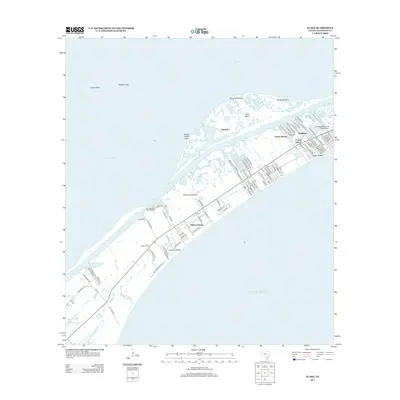 2013 Flake2013 Print · USGSCovers Patton Woods, including Galveston, Texas City, and other nearby areas
 - 2016 Map of Flake, 2016 Print
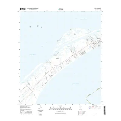 2016 Flake2016 Print · USGSCovers Patton Woods, including Galveston, Texas City, and other nearby areas
 - 2019 Map of Flake, 2019 Print
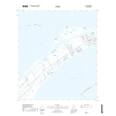 2019 Flake2019 Print · USGSCovers Patton Woods, including Galveston, Texas City, and other nearby areas
 - 2022 Map of Flake, 2022 Print
 2022 Flake2022 Print · USGSCovers Patton Woods, including Galveston, Texas City, and other nearby areas
 - 2025 Map of Flake, 2025 Print
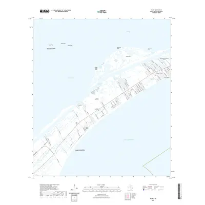
 2025 Flake2025 Print · USGSCoastal Galveston County is charted in detail during this recent era of beachfront development and maritime commerce. Researchers can trace local lineage and land use through the Crenshaw Family Cem, the Seafood Warehouse Park Airport, and the residential growth of Crystal Beach.
End of results
Showing maps 1-6 of 6
Top cities near Patton Woods
- Baytown historical maps
- Galveston historical maps
- Texas City historical maps
- Beach City historical maps
- Port Bolivar historical maps
Frequently asked questions
- What are the different types of historical maps available for Patton Woods?
- What is the oldest map of Patton Woods?
- Where can I purchase historical maps of Patton Woods for my home or office?
- Where can I download high-res historical maps of Patton Woods?
- Are there historical topographic maps available for Patton Woods?
- Is there historical aerial imagery available for Patton Woods?
- Where are historical maps of Patton Woods sourced from?