2000s (21st Century) Maps of Garza County, Texas
Explore 125 historic maps of Garza County from the 2000s (21st Century). These maps offer a rare glimpse into what life looked like during the 2000s — showing old roads, neighborhoods, homes, and landmarks that have changed or disappeared over time.
Whether you're researching your family's past, planning a metal detecting trip, or studying how Garza County's landscape evolved across the 2000s, these high-resolution maps are a powerful tool for exploring the history of this region.
- Focus on a specific era: All maps on this page are from the 2000s, giving you a focused view of this time period.
- See what’s changed: Compare century-old streets, trails, and buildings to today's modern landscape using overlays and satellite layers.
- Research with precision: Use these maps for genealogy, historical research, land use analysis, or educational projects.
- View, download, or print: Maps are fully viewable online in high resolution, and can be downloaded or printed for your own records.
Start exploring Garza County's history through authentic maps from the 2000s. This is your window into the past.
Garza County, TX maps
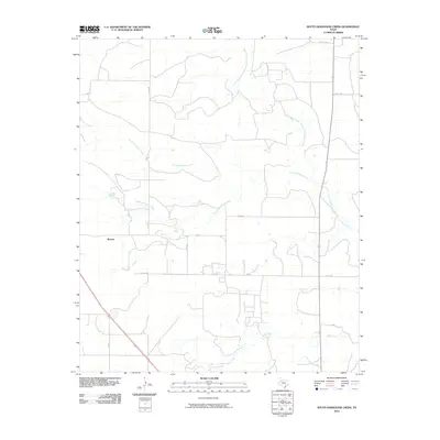
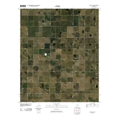
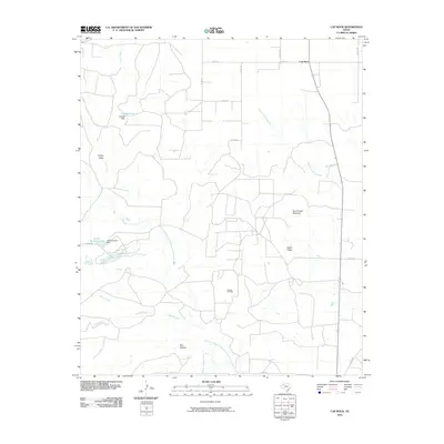
(125)- 2010 Map of Cooper Creek, 2010 Print
 2010 Cooper Creek2010 Print · USGSCovers Garza County, including United States, Texas, and other nearby areas
 - 2010 Map of Cap Rock SE, 2010 Print
 2010 Cap Rock SE2010 Print · USGSCovers Garza County, including United States, Texas, and other nearby areas
 - 2010 Map of Slaton NE, 2010 Print
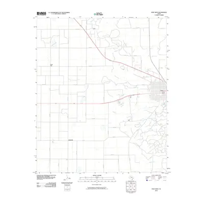
 2010 Slaton NE2010 Print · USGSCovers Garza County, including Slaton, Lubbock County, and other nearby areas
 - 2010 Map of Post East, 2010 Print
 2010 Post East2010 Print · USGSCovers Garza County, including Post, Augustus, and other nearby areas
 - 2010 Map of South Dokegood Creek, 2010 Print
 2010 South Dokegood Creek2010 Print · USGSCovers Garza County, including Buenos, United States, and other nearby areas
 - 2010 Map of Post West, 2010 Print
 2010 Post West2010 Print · USGSCovers Garza County, including Post, Close City, and other nearby areas
 - 2010 Map of Kalgary, 2010 Print
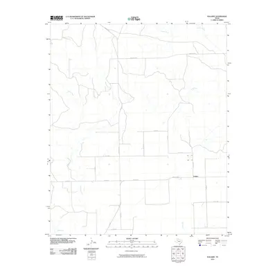 2010 Kalgary2010 Print · USGSCovers Garza County, including Kalgary, Crosby County, and other nearby areas
 - 2010 Map of Justiceburg NW, 2010 Print
 2010 Justiceburg NW2010 Print · USGSCovers Garza County, including United States, Texas, and other nearby areas
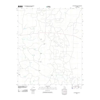
 - 2010 Map of Justiceburg, 2010 Print
 2010 Justiceburg2010 Print · USGSCovers Garza County, including Justiceburg, United States, and other nearby areas
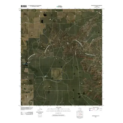
 - 2010 Map of Flat Top Mountain, 2010 Print
 2010 Flat Top Mountain2010 Print · USGSCovers Garza County, including Fullerville, Scurry County, and other nearby areas
 - 2010 Map of Twomile Creek, 2010 Print
 2010 Twomile Creek2010 Print · USGSCovers Garza County, including Kent County, United States, and other nearby areas
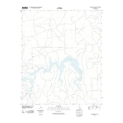
 - 2010 Map of Fluvanna, 2010 Print
 2010 Fluvanna2010 Print · USGSCovers Garza County, including Fluvanna, Scurry County, and other nearby areas
 - 2010 Map of Grassland, 2010 Print
 2010 Grassland2010 Print · USGSCovers Garza County, including Grassland, Lynn County, and other nearby areas
 - 2010 Map of Cottonwood Creek, 2010 Print
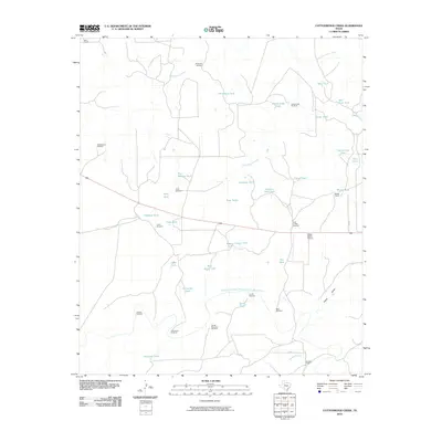 2010 Cottonwood Creek2010 Print · USGSCovers Garza County, including Kent County, United States, and other nearby areas
 - 2010 Map of Grassland SE, 2010 Print
 2010 Grassland SE2010 Print · USGSCovers Garza County, including Lynn County, United States, and other nearby areas
 - 2010 Map of Middle Creek, 2010 Print
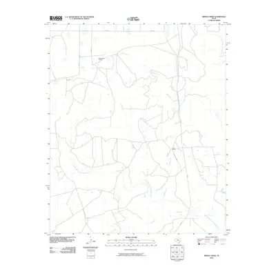 2010 Middle Creek2010 Print · USGSCovers Garza County, including United States, Texas, and other nearby areas
 - 2010 Map of Cap Rock, 2010 Print
 2010 Cap Rock2010 Print · USGSCovers Garza County, including Cap Rock, Crosby County, and other nearby areas
 - 2010 Map of Canyon Valley, 2010 Print
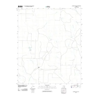 2010 Canyon Valley2010 Print · USGSCovers Garza County, including Canyon Valley, Crosby County, and other nearby areas
 - 2010 Map of Justiceburg SE, 2010 Print
 2010 Justiceburg SE2010 Print · USGSCovers Garza County, including Kent County, United States, and other nearby areas
 - 2010 Map of Smith Tank, 2010 Print
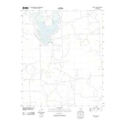 2010 Smith Tank2010 Print · USGSCovers Garza County, including Crosby County, Dickens County, and other nearby areas
 - 2010 Map of Verbena, 2010 Print
 2010 Verbena2010 Print · USGSCovers Garza County, including Verbena, United States, and other nearby areas
 - 2010 Map of Beal Hollow, 2010 Print
 2010 Beal Hollow2010 Print · USGSCovers Garza County, including Borden County, United States, and other nearby areas
 - 2010 Map of Gail NE, 2010 Print
 2010 Gail NE2010 Print · USGSCovers Garza County, including Borden County, United States, and other nearby areas
 - 2010 Map of Indian Canyon NE, 2010 Print
 2010 Indian Canyon NE2010 Print · USGSCovers Garza County, including Borden County, Lynn County, and other nearby areas
 - 2010 Map of Southland, 2010 Print
 2010 Southland2010 Print · USGSCovers Garza County, including Pleasant Valley, Southland, and other nearby areas
Showing maps 1-25 of 125
Top cities of Garza County
Frequently asked questions
- What are the different types of historical maps available for Garza County?
- What is the oldest map of Garza County?
- Where can I purchase historical maps of Garza County for my home or office?
- Where can I download high-res historical maps of Garza County?
- Are there historical topographic maps available for Garza County?
- Is there historical aerial imagery available for Garza County?
- Where are historical maps of Garza County sourced from?