Old Maps of Harper, Texas for Academic Research
Study the evolution of Harper with 11 high-resolution historic maps. Whether you're teaching, researching, or modeling changes in land use, these maps provide essential visual documentation of urban, environmental, and geographic change.
- Analyze long-term change: Track patterns in development, transportation, and natural features.
- Ideal for environmental or urban studies: Support academic projects with primary historical map data.
- Use in the classroom or lab: Educators and researchers rely on these maps to bring historical context to life.
These maps are a powerful tool for teaching, research, and visualizing how Harper has changed over the decades.
Harper, TX maps
(11)- 1894 Map of Kerrville
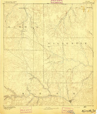 1894 Kerrville1894 Print · USGSThe Texas Hill Country in the late nineteenth century was a land of river-valley outposts and high divides. Genealogists and researchers can trace the early footprints of Kerrville, Harper, and Ingram, or locate rural landmarks like Johnson Resort and Steamboat Mountain.4 unique versions available
 - 1954 Map of Llano, 1964 Print
 1954 Llano1964 Print · USGSThe Texas Hill Country and Highland Lakes appear in the mid-fifties, just as new reservoirs began reshaping the landscape. Trace ranching history and river routes from Mason to Llano, or follow the Gulf Colorado and Santa Fe RR past Buchanan Lake.2 unique versions available
 - 1955 Map of Llano
 1955 Llano1955 Print · USGSCentral Texas and the Hill Country are seen here during the mid-1950s growth of the Highland Lakes. Trace old settlements and geologic landmarks from Enchanted Rock and Longhorn Cavern to the small community of Luckenbach.
 - 1956 Map of Llano, 1976 Print
 1956 Llano1976 Print · USGSThe Texas Hill Country comes alive in this mid-seventies survey of the Llano Uplift and Colorado River lakes. Genealogists and historians can trace family roots through settlements like Luckenbach and Castell or locate the famed L B J Ranch and Enchanted Rock.
 - 1974 Map of Harper West, 1977 Print
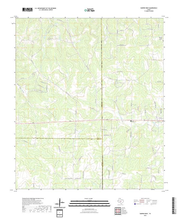
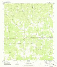 1974 Harper West1977 Print · USGSThe Pedernales River headwaters area comes alive in the 1970s, showing a landscape defined by ranching and gravel extraction. Trace local family history through landmarks like Bur Oak Windmill, Shin Oak Spring, and the settlement of Harper.
 - 1985 Map of Kerrville
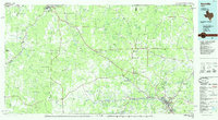 1985 Kerrville1985 Print · USGSThe Texas Hill Country comes into focus in the mid-eighties as a landscape of ranching roads and river headwaters. Trace the historic sites of Old Noxville, the remote Garven Store, and the early campus of Schreiner College.2 unique versions available
 - 2010 Map of Harper West, 2010 Print
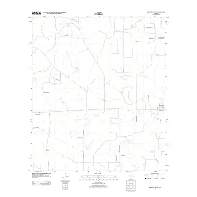
 2010 Harper West2010 Print · USGSCovers Harper, including Kerr County, Gillespie County, and other nearby areas
 - 2012 Map of Harper West, 2012 Print
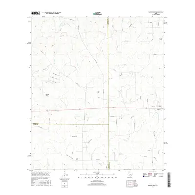
 2012 Harper West2012 Print · USGSCovers Harper, including Kerr County, Gillespie County, and other nearby areas
 - 2016 Map of Harper West, 2016 Print
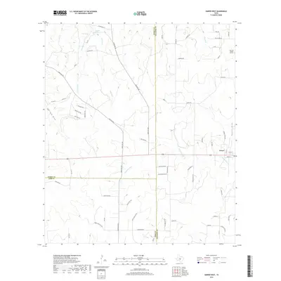
 2016 Harper West2016 Print · USGSCovers Harper, including Kerr County, Gillespie County, and other nearby areas
 - 2019 Map of Harper West, 2019 Print
 2019 Harper West2019 Print · USGSCovers Harper, including Kerr County, Gillespie County, and other nearby areas
 - 2022 Map of Harper West, 2022 Print
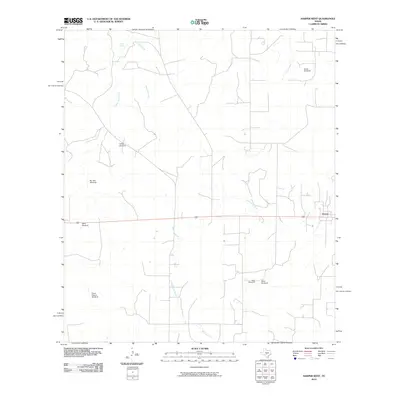
 2022 Harper West2022 Print · USGSThe ranchlands along the Gillespie and Kimble County line are documented here in the early twenty-first century as the Hill Country landscape continues its long ranching tradition. Researchers can trace family history at Saint Anthony Cem or follow the headwaters of the Pedernales River and Shin Oak Cr.
End of results
Showing maps 1-11 of 11
Top cities near Harper
Frequently asked questions
- What are the different types of historical maps available for Harper?
- What is the oldest map of Harper?
- Where can I purchase historical maps of Harper for my home or office?
- Where can I download high-res historical maps of Harper?
- Are there historical topographic maps available for Harper?
- Is there historical aerial imagery available for Harper?
- Where are historical maps of Harper sourced from?